Old Maps of Columbus, Kansas
Explore 16 old maps of Columbus, spanning from 1886 to today. These high-resolution historic maps reveal how streets, neighborhoods, landmarks, and natural features evolved over time — perfect for genealogy, metal detecting, research, and local history exploration.
What you can do with these maps:
- See how Columbus changed over time: Compare historical maps to modern-day views to trace roads, homesites, rail lines & more.
- View detailed metadata: Each map includes creators, publishers, year, scale, and archive source.
- Overlay maps with satellite & LiDAR: Visualize the past alongside modern tools to explore terrain & human change.
- Trusted historical sources: Maps sourced from the USGS, Library of Congress, and other archives.
- Access maps your way: View online, download high-res files, or order prints for personal or research use.
Start exploring old maps of Columbus to uncover forgotten places, hidden landmarks, and the deep history beneath your feet.
Columbus, KS maps
(16)- 1886 Map of Joplin
 1886 Joplin1886 Print · USGSThe Missouri-Kansas borderlands were rapidly developing in the late nineteenth century as rail lines and river valleys shaped new settlements. Researchers can trace the early footprints of towns like Columbus and Pittsburg or locate vanished points like Georgia City and Litchfield.
 - 1894 Map of Joplin
 1894 Joplin1894 Print · USGSSoutheastern Kansas and southwestern Missouri met at a crossroads of industry and rail during the late nineteenth century. Genealogists can trace the early streets of Pittsburg and Joplin or find vanished rail stops like Stippville and Stilson.6 unique versions available
 - 1918 Map of Columbus
 1918 Columbus1918 Print · USGSCherokee County at the end of the Great War was a crossroads of industry and agriculture, dominated by a massive network of competing railroads. Genealogists can locate dozens of country school sites like Rising Sun School and vanished rail stops at Sherwin Junction or Stippville.2 unique versions available
 - 1947 Map of Joplin, 1954 Print
 1947 Joplin1954 Print · USGSThe borderlands of Missouri, Kansas, and Oklahoma are shown here during the late 1940s, a period of heavy industrial and military activity. Researchers can trace the extensive Tri-State Mining District, the layout of Camp Crowder, and local landmarks like Mount Hope Cem.
 - 1949 Map of Joplin
 1949 Joplin1949 Print · USGSThe Kansas-Missouri borderlands thrive in the late 1940s, showing a robust network of railroad towns and river valleys. Researchers can trace historic rail lines like the Missouri Pacific RR and locate rural centers such as Chanute, Iola, and Fort Scott.
 - 1954 Map of Joplin, 1967 Print
 1954 Joplin1967 Print · USGSThe tri-state border region of Kansas, Missouri, and Oklahoma is captured here during a peak era of mid-century industrial and agricultural activity. Researchers can trace family history through dozens of rural cemeteries or locate landmarks like the Kansas Army Ammunition Plant and Pittsburg State University.3 unique versions available
 - 1958 Map of Joplin
 1958 Joplin1958 Print · USGSThe tri-state border region of Missouri, Kansas, and Oklahoma is shown during the late fifties, a time of heavy rail traffic and mining activity. Local historians can trace the industrial landscape through the Joplin & Pittsburg Ry or locate family sites like Zion Ch and Bender Mounds.
 - 1958 Map of Columbus, 1959 Print
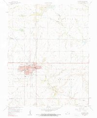 1958 Columbus1959 Print · USGSSoutheast Kansas in the late fifties was a landscape defined by the intersection of coal mining and small-town civic life. Genealogists and historians can trace the foundations of Columbus through its many schools, like Highland Sch, and the extensive Strip Mine works and railroads that fueled the local economy.2 unique versions available
 - 1959 Map of Joplin
 1959 Joplin1959 Print · USGSThe Tri-State region’s mining and rail-driven economy is on full display in the late fifties. Genealogists can locate Lead and Zinc Mines near Joplin, family markers at Oak Hill Cem, and military history at Camp Clark.
 - 1986 Map of Joplin
 1986 Joplin1986 Print · USGSThe tri-state border region comes alive in the mid-eighties as an industrial and transit powerhouse where Kansas and Missouri meet. Researchers can trace the heavy rail influence of the Missouri Pacific RR and explore sites like the Mined Land State Wildlife Area.
 - 1991 Map of Joplin
 1991 Joplin1991 Print · USGSThe tri-state mining district and the Ozark foothills meet in the early 1990s as industrial land transitions into conservation areas. Genealogists and historians can trace the growth of Joplin and Baxter Springs or locate rural sites like Mount Hope Cem and Blue Mound.
 - 2010 Map of Columbus, 2010 Print
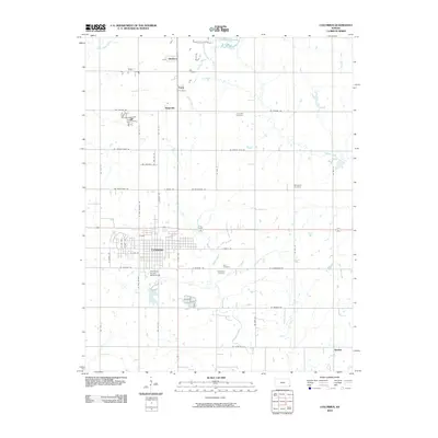 2010 Columbus2010 Print · USGSSoutheast Kansas at the turn of the decade reveals a landscape of organized rural townships and established civic centers. Genealogists and historians can trace the footprint of Columbus or locate outlying communities and sites like Stippville and Lone Elm Cemetery.
 - 2012 Map of Columbus, 2012 Print
 2012 Columbus2012 Print · USGSSoutheast Kansas at the start of the century reveals a landscape of enduring rural settlements and quiet township roads. Genealogists and local historians can trace family locations near Stippville, Quaker, or the County Poor Farm Cem.
 - 2015 Map of Columbus, 2015 Print
 2015 Columbus2015 Print · USGSCherokee County, Kansas, is documented here in the mid-2010s, centered on the historic seat of Columbus and its surrounding rural townships. Genealogists can trace family sites at the County Poor Farm Cem, Park Cem, or the small northern settlement of Skidmore.
 - 2018 Map of Columbus, 2018 Print
 2018 Columbus2018 Print · USGSCherokee County at the end of the 2010s shows a landscape of established township grids and agricultural tradition. Researchers can trace family history through several rural burial sites like the County Poor Farm Cem and settlements such as Stippville and Quaker.
 - 2022 Map of Columbus, 2022 Print
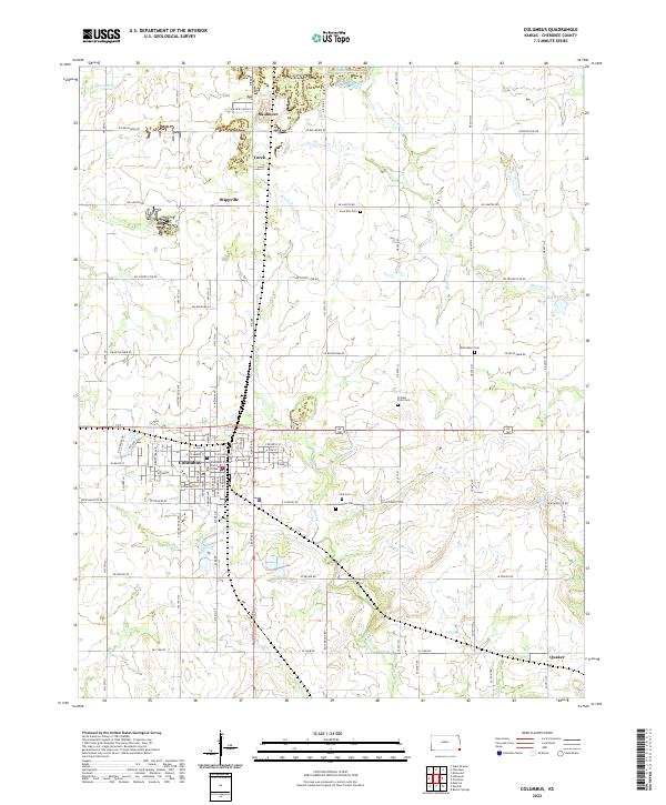 2022 Columbus2022 Print · USGSCherokee County in the early 2020s remains a landscape of traditional section-line roads and concentrated prairie settlements. Researchers can trace family history through numerous rural burial sites including Potters Field Cem, Lone Elm Cem, and Bethlehem Cem.
End of results
Showing maps 1-16 of 16
Top cities near Columbus
- Pittsburg historical maps
- Baxter Springs historical maps
- Galena historical maps
- Quapaw historical maps
- Weir historical maps
- Cherokee historical maps
See more
Frequently asked questions
- What are the different types of historical maps available for Columbus?
- What is the oldest map of Columbus?
- Where can I purchase historical maps of Columbus for my home or office?
- Where can I download high-res historical maps of Columbus?
- Are there historical topographic maps available for Columbus?
- Is there historical aerial imagery available for Columbus?
- Where are historical maps of Columbus sourced from?