Old Maps of Faulkner, Kansas
Explore 18 old maps of Faulkner, spanning from 1886 to today. These high-resolution historic maps reveal how streets, neighborhoods, landmarks, and natural features evolved over time — perfect for genealogy, metal detecting, research, and local history exploration.
What you can do with these maps:
- See how Faulkner changed over time: Compare historical maps to modern-day views to trace roads, homesites, rail lines & more.
- View detailed metadata: Each map includes creators, publishers, year, scale, and archive source.
- Overlay maps with satellite & LiDAR: Visualize the past alongside modern tools to explore terrain & human change.
- Trusted historical sources: Maps sourced from the USGS, Library of Congress, and other archives.
- Access maps your way: View online, download high-res files, or order prints for personal or research use.
Start exploring old maps of Faulkner to uncover forgotten places, hidden landmarks, and the deep history beneath your feet.
Faulkner, KS maps
(18)- 1886 Map of Parsons
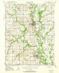
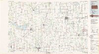
 1886 Parsons1886 Print · USGSSoutheast Kansas at the height of the railroad boom is anchored here by the growing hub of Parsons. Genealogists and historians can trace the early townships and rail sidings that shaped Labette County, from Oswego and Chetopa to rural stops like Ladore and Altamont.
 - 1893 Map of Parsons
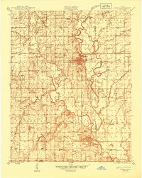
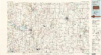
 1893 Parsons1893 Print · USGSSoutheastern Kansas was a booming rail center in the late nineteenth century, dominated by the rise of Parsons. Genealogists can trace family connections through early settlements like Ladore, Mound Valley, and Altamont or along the Little Labette Creek drainage.4 unique versions available
 - 1944 Map of Oswego, 1970 Print
 1944 Oswego1970 Print · USGSSoutheast Kansas during the mid-forties reveals a landscape defined by the Neosho River and a dense network of railroad towns. Genealogists and historians can trace dozens of country schools like Mosquito Valley Sch and Eclipse Sch, as well as the footprint of the Kansas Ordnance Plant Area.
 - 1946 Map of Oswego
 1946 Oswego1946 Print · USGSSoutheastern Kansas at the end of the war reveals a landscape of river-bottom farming, active coal extraction, and defense-era industrial expansion. Genealogists can trace family roots through numerous rural sites like Friendship Sch, Pleasant Valley Cem, and the town of Bartlett.
 - 1947 Map of Joplin, 1954 Print
 1947 Joplin1954 Print · USGSThe borderlands of Missouri, Kansas, and Oklahoma are shown here during the late 1940s, a period of heavy industrial and military activity. Researchers can trace the extensive Tri-State Mining District, the layout of Camp Crowder, and local landmarks like Mount Hope Cem.
 - 1948 Map of Oswego
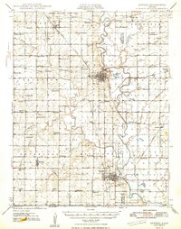 1948 Oswego1948 Print · USGSSoutheast Kansas in the late 1940s reveals a landscape defined by the Neosho River and a bustling extractive economy. Researchers can trace dozens of rural school sites like Shiloh Sch and Liggett Sch, alongside numerous strip mines and family cemeteries.3 unique versions available
 - 1949 Map of Joplin
 1949 Joplin1949 Print · USGSThe Kansas-Missouri borderlands thrive in the late 1940s, showing a robust network of railroad towns and river valleys. Researchers can trace historic rail lines like the Missouri Pacific RR and locate rural centers such as Chanute, Iola, and Fort Scott.
 - 1954 Map of Joplin, 1967 Print
 1954 Joplin1967 Print · USGSThe tri-state border region of Kansas, Missouri, and Oklahoma is captured here during a peak era of mid-century industrial and agricultural activity. Researchers can trace family history through dozens of rural cemeteries or locate landmarks like the Kansas Army Ammunition Plant and Pittsburg State University.3 unique versions available
 - 1958 Map of Joplin
 1958 Joplin1958 Print · USGSThe tri-state border region of Missouri, Kansas, and Oklahoma is shown during the late fifties, a time of heavy rail traffic and mining activity. Local historians can trace the industrial landscape through the Joplin & Pittsburg Ry or locate family sites like Zion Ch and Bender Mounds.
 - 1959 Map of Joplin
 1959 Joplin1959 Print · USGSThe Tri-State region’s mining and rail-driven economy is on full display in the late fifties. Genealogists can locate Lead and Zinc Mines near Joplin, family markers at Oak Hill Cem, and military history at Camp Clark.
 - 1974 Map of Chetopa, 1976 Print
 1974 Chetopa1976 Print · USGSSoutheast Kansas in the mid-1970s reveals a landscape defined by the winding Neosho River and the industrial hub of Chetopa. Genealogists and historians can trace the Indian Treaty Boundary and locate historic burial grounds like Oak Hill Cem and St Rose Cem.
 - 1985 Map of Coffeyville
 1985 Coffeyville1985 Print · USGSSoutheast Kansas in the mid-eighties shows a landscape of river-valley agriculture and heavy industry anchored by the rail hubs of Independence and Coffeyville. Genealogists and historians can trace rail lines like the Missouri Kansas Texas RR and locate sites like Fairview Cemetery or the Kansas Army Ammunition Plant.
 - 1990 Map of Coffeyville
 1990 Coffeyville1990 Print · USGSSoutheast Kansas in the late twentieth century is defined by its industrial sites and river valley rail hubs. Genealogists and historians can trace the infrastructure of the Army Ammunition Plant, the local graves at Fairview Cemetery, and the extensive Strip Mine operations.
 - 2009 Map of Chetopa, 2009 Print
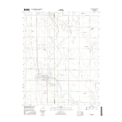
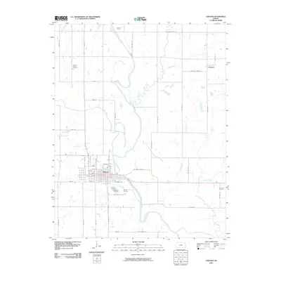 2009 Chetopa2009 Print · USGSCovers Faulkner, including Chetopa, Labette County, and other nearby areas
 - 2012 Map of Chetopa, 2012 Print
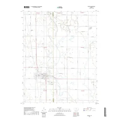
 2012 Chetopa2012 Print · USGSCovers Faulkner, including Chetopa, Labette County, and other nearby areas
 - 2016 Map of Chetopa, 2016 Print
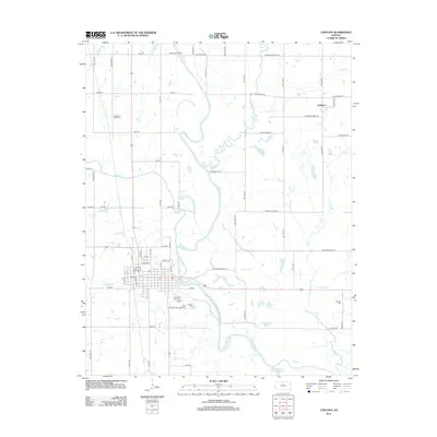
 2016 Chetopa2016 Print · USGSCovers Faulkner, including Chetopa, Labette County, and other nearby areas
 - 2018 Map of Chetopa, 2018 Print
 2018 Chetopa2018 Print · USGSCovers Faulkner, including Chetopa, Labette County, and other nearby areas
 - 2022 Map of Chetopa, 2022 Print
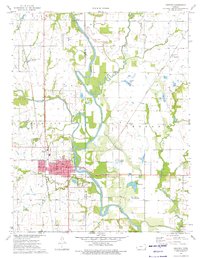
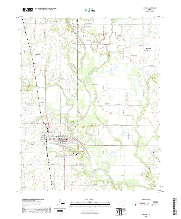 2022 Chetopa2022 Print · USGSThe Labette County borderlands come to life in the 2020s, centered on the river-and-rail hub of Chetopa. Genealogists and local historians can trace family locations through Oak Hill Cem, Pleasant Valley Cem, and the grid of historic streets along the Missouri Pacific RR.
End of results
Showing maps 1-18 of 18
Top cities near Faulkner
- Miami historical maps
- Parsons historical maps
- Columbus historical maps
- Commerce historical maps
- Oswego historical maps
- Chetopa historical maps
See more
Frequently asked questions
- What are the different types of historical maps available for Faulkner?
- What is the oldest map of Faulkner?
- Where can I purchase historical maps of Faulkner for my home or office?
- Where can I download high-res historical maps of Faulkner?
- Are there historical topographic maps available for Faulkner?
- Is there historical aerial imagery available for Faulkner?
- Where are historical maps of Faulkner sourced from?