Old Maps of Cato, Kansas for Genealogy
Trace your family roots with 18 historic maps of Cato. These high-res maps reveal old neighborhoods, homesites, landmarks, and streets — helping you uncover where your ancestors lived and how the area evolved over time.
- Explore historic neighborhoods: Identify where your relatives may have lived in the 1800s or 1900s.
- Compare maps over time: Trace the changes in streets, buildings, and landmarks for multi-generational research.
- Perfect for genealogy & ancestry research: Used by family historians and researchers to map out lineage and migration.
These maps are an incredible resource for exploring your personal connection to Cato's past.
Cato, KS maps
(18)- 1884 Map of Fort Scott, 1954 Print
 1884 Fort Scott1954 Print · USGSSoutheast Kansas is documented here in the late nineteenth century as a booming railroad hub centered on Fort Scott. Researchers can trace the early townships and rail sidings at Hiattville, Uniontown, and along the banks of the Marmaton River.
 - 1886 Map of Fort Scott
 1886 Fort Scott1886 Print · USGSSoutheast Kansas comes alive in the mid-1880s as Fort Scott emerges as a powerful railroad junction connecting the prairie to the world. Genealogists and historians can trace old property boundaries and rail stops like Uniontown, Hiattville, and the remote Timber Hill.
 - 1893 Map of Fort Scott
 1893 Fort Scott1893 Print · USGSSoutheast Kansas at the end of the nineteenth century was a bustling nexus of competing rail lines and river valley settlements. Genealogists and historians can trace the early footprints of Fort Scott and rural communities like Zenia (Hay) or Cato along the Marmaton River.7 unique versions available
 - 1947 Map of Joplin, 1954 Print
 1947 Joplin1954 Print · USGSThe borderlands of Missouri, Kansas, and Oklahoma are shown here during the late 1940s, a period of heavy industrial and military activity. Researchers can trace the extensive Tri-State Mining District, the layout of Camp Crowder, and local landmarks like Mount Hope Cem.
 - 1948 Map of Mulberry, 1954 Print
 1948 Mulberry1954 Print · USGSThe Kansas-Missouri border was a hive of industrial activity just after the war, marked by extensive coal excavations. Genealogists can trace family roots through dozens of rural schools and small settlements like Arma, Croweburg, and Coalvale.2 unique versions available
 - 1949 Map of Joplin
 1949 Joplin1949 Print · USGSThe Kansas-Missouri borderlands thrive in the late 1940s, showing a robust network of railroad towns and river valleys. Researchers can trace historic rail lines like the Missouri Pacific RR and locate rural centers such as Chanute, Iola, and Fort Scott.
 - 1950 Map of Mulberry
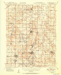 1950 Mulberry1950 Print · USGSThe Kansas-Missouri borderlands at mid-century are defined here by a dense network of coal-mining towns and rail lines. Genealogists can trace family roots through numerous local landmarks like McKill Chapel, the settlement of Red Onion, and the layout of Camp 50.2 unique versions available
 - 1954 Map of Joplin, 1967 Print
 1954 Joplin1967 Print · USGSThe tri-state border region of Kansas, Missouri, and Oklahoma is captured here during a peak era of mid-century industrial and agricultural activity. Researchers can trace family history through dozens of rural cemeteries or locate landmarks like the Kansas Army Ammunition Plant and Pittsburg State University.3 unique versions available
 - 1958 Map of Joplin
 1958 Joplin1958 Print · USGSThe tri-state border region of Missouri, Kansas, and Oklahoma is shown during the late fifties, a time of heavy rail traffic and mining activity. Local historians can trace the industrial landscape through the Joplin & Pittsburg Ry or locate family sites like Zion Ch and Bender Mounds.
 - 1959 Map of Joplin
 1959 Joplin1959 Print · USGSThe Tri-State region’s mining and rail-driven economy is on full display in the late fifties. Genealogists can locate Lead and Zinc Mines near Joplin, family markers at Oak Hill Cem, and military history at Camp Clark.
 - 1959 Map of Cato, 1960 Print
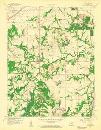 1959 Cato1960 Print · USGSSoutheast Kansas in the late fifties was a region defined by its coal-rich earth and a network of small, rural communities. Genealogists and historians can trace family-named landmarks and old burial sites such as Old Arcadia Cemetery, Gish School, and Cato.2 unique versions available
 - 1986 Map of Nevada
 1986 Nevada1986 Print · USGSThe Missouri-Kansas borderlands in the mid-1980s show a landscape of active rail lines and coal mining. Researchers can trace the Old Military Road or locate family plots in the National Cemetery and Deepwood Cemetery.
 - 1991 Map of Nevada
 1991 Nevada1991 Print · USGSThis borderland region in the early nineties captures the transition from Kansas plains to Missouri timber. Researchers can trace family history through Bunn Cemetery, locate the Camp Clark Military Reservation, and explore rail towns like Nevada and Fort Scott.
 - 2009 Map of Cato, 2009 Print
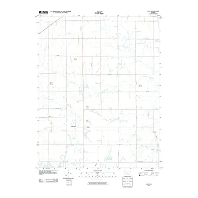 2009 Cato2009 Print · USGSCrawford County's rural townships are captured in the early 2000s, centered on the historic town of Arcadia. Genealogists and local historians can trace family lines across numerous burial sites like McGonigle Cemetery and Howard Cemetery near Dry Wood.
 - 2012 Map of Cato, 2012 Print
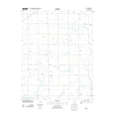 2012 Cato2012 Print · USGSCrawford County at the start of the 2010s shows a landscape of established rural settlements and numerous historic burial sites. Genealogists can trace family names at Old Arcadia Cem, Mayfield Cem, and Pleasant Valley Sheffield Cem.
 - 2015 Map of Cato, 2015 Print
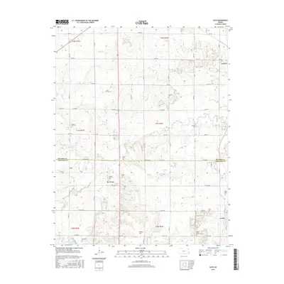 2015 Cato2015 Print · USGSCrawford and Bourbon Counties come into focus in the mid-2010s, showing a landscape of rural townships and historic crossroads. Genealogists can locate over a dozen burial sites, from Old Arcadia Cem to the Pleasant Valley Sheffield Cem near Arcadia.
 - 2018 Map of Cato, 2018 Print
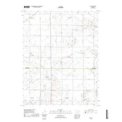 2018 Cato2018 Print · USGSThe Kansas borderlands between Bourbon and Crawford counties are captured here in the late twenty-teens. Genealogists and local historians can trace family roots through numerous sites like Trogdon Drywood Cem, Howard Cem, and the settlement of Cato.
 - 2022 Map of Cato, 2022 Print
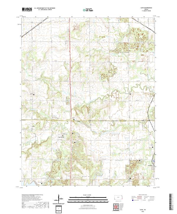 2022 Cato2022 Print · USGSThe borderlands of Bourbon and Crawford counties come into focus in the early 2020s, showing a landscape defined by rural homesteads and creek-side settlements. Researchers can trace local history through a high density of rural burial sites like Old Arcadia Cem and Trogdon Drywood Cem.
End of results
Showing maps 1-18 of 18
Top cities near Cato
- Pittsburg historical maps
- Fort Scott historical maps
- Frontenac historical maps
- Girard historical maps
- Arma historical maps
- Liberal historical maps
See more
Frequently asked questions
- What are the different types of historical maps available for Cato?
- What is the oldest map of Cato?
- Where can I purchase historical maps of Cato for my home or office?
- Where can I download high-res historical maps of Cato?
- Are there historical topographic maps available for Cato?
- Is there historical aerial imagery available for Cato?
- Where are historical maps of Cato sourced from?