Old Maps of Mulberry, Kansas for Academic Research
Study the evolution of Mulberry with 26 high-resolution historic maps. Whether you're teaching, researching, or modeling changes in land use, these maps provide essential visual documentation of urban, environmental, and geographic change.
- Analyze long-term change: Track patterns in development, transportation, and natural features.
- Ideal for environmental or urban studies: Support academic projects with primary historical map data.
- Use in the classroom or lab: Educators and researchers rely on these maps to bring historical context to life.
These maps are a powerful tool for teaching, research, and visualizing how Mulberry has changed over the decades.
Mulberry, KS maps
(26)- 1884 Map of Fort Scott, 1954 Print
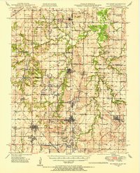
 1884 Fort Scott1954 Print · USGSSoutheast Kansas is documented here in the late nineteenth century as a booming railroad hub centered on Fort Scott. Researchers can trace the early townships and rail sidings at Hiattville, Uniontown, and along the banks of the Marmaton River.
 - 1886 Map of Fort Scott
 1886 Fort Scott1886 Print · USGSSoutheast Kansas comes alive in the mid-1880s as Fort Scott emerges as a powerful railroad junction connecting the prairie to the world. Genealogists and historians can trace old property boundaries and rail stops like Uniontown, Hiattville, and the remote Timber Hill.
 - 1893 Map of Fort Scott
 1893 Fort Scott1893 Print · USGSSoutheast Kansas at the end of the nineteenth century was a bustling nexus of competing rail lines and river valley settlements. Genealogists and historians can trace the early footprints of Fort Scott and rural communities like Zenia (Hay) or Cato along the Marmaton River.7 unique versions available
 - 1947 Map of Joplin, 1954 Print
 1947 Joplin1954 Print · USGSThe borderlands of Missouri, Kansas, and Oklahoma are shown here during the late 1940s, a period of heavy industrial and military activity. Researchers can trace the extensive Tri-State Mining District, the layout of Camp Crowder, and local landmarks like Mount Hope Cem.
 - 1948 Map of Mulberry, 1954 Print
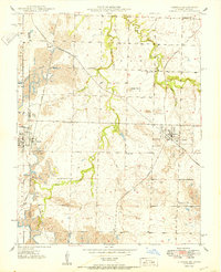
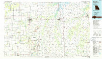
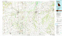
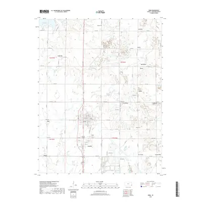
 1948 Mulberry1954 Print · USGSThe Kansas-Missouri border was a hive of industrial activity just after the war, marked by extensive coal excavations. Genealogists can trace family roots through dozens of rural schools and small settlements like Arma, Croweburg, and Coalvale.2 unique versions available
 - 1948 Map of Liberal, 1954 Print
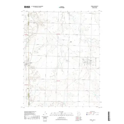
 1948 Liberal1954 Print · USGSThe Missouri-Kansas borderlands were defined by intensive coal mining and a busy rail network in the late 1940s. Genealogists can trace family roots through several rural landmarks, including Coal Valley School, Banner School, and the Liberal Cemetery.
 - 1949 Map of Joplin
 1949 Joplin1949 Print · USGSThe Kansas-Missouri borderlands thrive in the late 1940s, showing a robust network of railroad towns and river valleys. Researchers can trace historic rail lines like the Missouri Pacific RR and locate rural centers such as Chanute, Iola, and Fort Scott.
 - 1950 Map of Liberal
 1950 Liberal1950 Print · USGSBarton County and the Kansas borderlands appear here during the peak of mid-century coal production, when rail and mining shaped every township. Researchers can trace rural life via Lone Star Sch, Liberal Cem, and the path of the Kansas City Southern railroad.2 unique versions available
 - 1950 Map of Mulberry
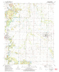
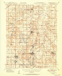 1950 Mulberry1950 Print · USGSThe Kansas-Missouri borderlands at mid-century are defined here by a dense network of coal-mining towns and rail lines. Genealogists can trace family roots through numerous local landmarks like McKill Chapel, the settlement of Red Onion, and the layout of Camp 50.2 unique versions available
 - 1954 Map of Joplin, 1967 Print
 1954 Joplin1967 Print · USGSThe tri-state border region of Kansas, Missouri, and Oklahoma is captured here during a peak era of mid-century industrial and agricultural activity. Researchers can trace family history through dozens of rural cemeteries or locate landmarks like the Kansas Army Ammunition Plant and Pittsburg State University.3 unique versions available
 - 1958 Map of Joplin
 1958 Joplin1958 Print · USGSThe tri-state border region of Missouri, Kansas, and Oklahoma is shown during the late fifties, a time of heavy rail traffic and mining activity. Local historians can trace the industrial landscape through the Joplin & Pittsburg Ry or locate family sites like Zion Ch and Bender Mounds.
 - 1959 Map of Joplin
 1959 Joplin1959 Print · USGSThe Tri-State region’s mining and rail-driven economy is on full display in the late fifties. Genealogists can locate Lead and Zinc Mines near Joplin, family markers at Oak Hill Cem, and military history at Camp Clark.
 - 1959 Map of Arma, 1960 Print
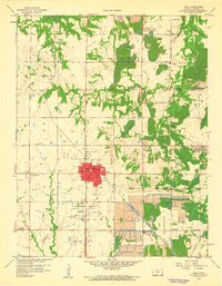 1959 Arma1960 Print · USGSCrawford County's coal mining heartland is captured in the late fifties as heavy industry reshaped the Kansas prairie. Researchers can trace family ties to local hubs like Arma and Franklin or find small company settlements such as Croweburg and Curranville near the Strip Mines.2 unique versions available
 - 1986 Map of Nevada
 1986 Nevada1986 Print · USGSThe Missouri-Kansas borderlands in the mid-1980s show a landscape of active rail lines and coal mining. Researchers can trace the Old Military Road or locate family plots in the National Cemetery and Deepwood Cemetery.
 - 1991 Map of Liberal
 1991 Liberal1991 Print · USGSThe Missouri-Kansas border comes alive in the early nineties, centered on the community of Liberal. Genealogists and historians can trace local family roots through Rosebank Cem and Liberal Cem or explore the early boundaries of Prairie State Park.
 - 1991 Map of Nevada
 1991 Nevada1991 Print · USGSThis borderland region in the early nineties captures the transition from Kansas plains to Missouri timber. Researchers can trace family history through Bunn Cemetery, locate the Camp Clark Military Reservation, and explore rail towns like Nevada and Fort Scott.
 - 2009 Map of Liberal, 2009 Print
 2009 Liberal2009 Print · USGSCovers Mulberry, including Liberal, Burgess, and other nearby areas
 - 2009 Map of Arma, 2009 Print
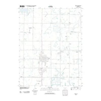 2009 Arma2009 Print · USGSCovers Mulberry, including Arma, Coalvale, and other nearby areas
 - 2011 Map of Liberal, 2011 Print
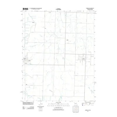 2011 Liberal2011 Print · USGSCovers Mulberry, including Liberal, Burgess, and other nearby areas
 - 2012 Map of Arma, 2012 Print
 2012 Arma2012 Print · USGSCovers Mulberry, including Arma, Coalvale, and other nearby areas
 - 2015 Map of Liberal, 2015 Print
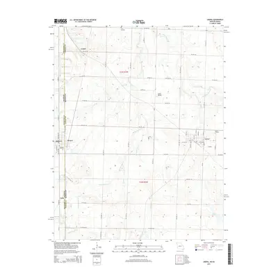 2015 Liberal2015 Print · USGSCovers Mulberry, including Liberal, Burgess, and other nearby areas
 - 2015 Map of Arma, 2015 Print
 2015 Arma2015 Print · USGSCovers Mulberry, including Arma, Coalvale, and other nearby areas
 - 2017 Map of Liberal, 2017 Print
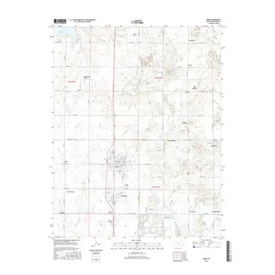
 2017 Liberal2017 Print · USGSCovers Mulberry, including Liberal, Burgess, and other nearby areas
 - 2018 Map of Arma, 2018 Print
 2018 Arma2018 Print · USGSCovers Mulberry, including Arma, Coalvale, and other nearby areas
 - 2021 Map of Liberal, 2021 Print
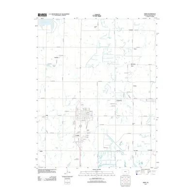
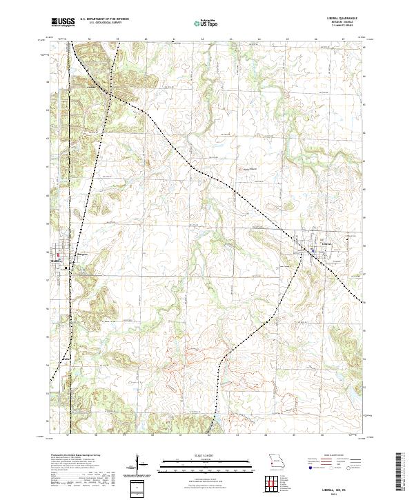 2021 Liberal2021 Print · USGSThe Missouri-Kansas borderlands come into focus in this contemporary survey of the prairie landscape near the town of Liberal. Researchers can trace the rural road grid to find historic sites like Rosebank Cem, the peak at Haake Mound, and several named paths including the Drovers Trl.
Showing maps 1-25 of 26
Top cities near Mulberry
- Pittsburg historical maps
- Frontenac historical maps
- Girard historical maps
- Arma historical maps
- Liberal historical maps
- Cherokee historical maps
See more
Frequently asked questions
- What are the different types of historical maps available for Mulberry?
- What is the oldest map of Mulberry?
- Where can I purchase historical maps of Mulberry for my home or office?
- Where can I download high-res historical maps of Mulberry?
- Are there historical topographic maps available for Mulberry?
- Is there historical aerial imagery available for Mulberry?
- Where are historical maps of Mulberry sourced from?