2000s (21st Century) Maps of Enterprise, Kansas
Explore 10 historic maps of Enterprise from the 2000s (21st Century). These maps offer a rare glimpse into what life looked like during the 2000s — showing old roads, neighborhoods, homes, and landmarks that have changed or disappeared over time.
Whether you're researching your family's past, planning a metal detecting trip, or studying how Enterprise's landscape evolved across the 2000s, these high-resolution maps are a powerful tool for exploring the history of this region.
- Focus on a specific era: All maps on this page are from the 2000s, giving you a focused view of this time period.
- See what’s changed: Compare century-old streets, trails, and buildings to today's modern landscape using overlays and satellite layers.
- Research with precision: Use these maps for genealogy, historical research, land use analysis, or educational projects.
- View, download, or print: Maps are fully viewable online in high resolution, and can be downloaded or printed for your own records.
Start exploring Enterprise's history through authentic maps from the 2000s. This is your window into the past.
Enterprise, KS maps
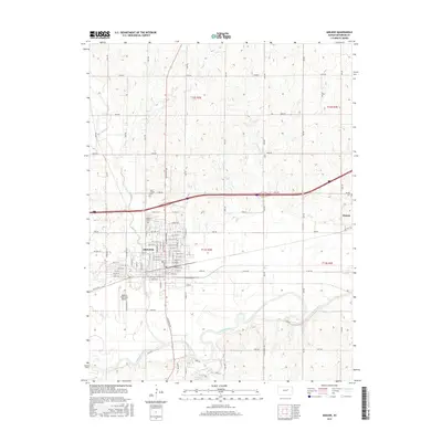
(10)- 2009 Map of Abilene, 2009 Print
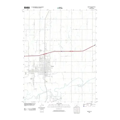 2009 Abilene2009 Print · USGSCovers Enterprise, including Abilene, Dickinson County, and other nearby areas
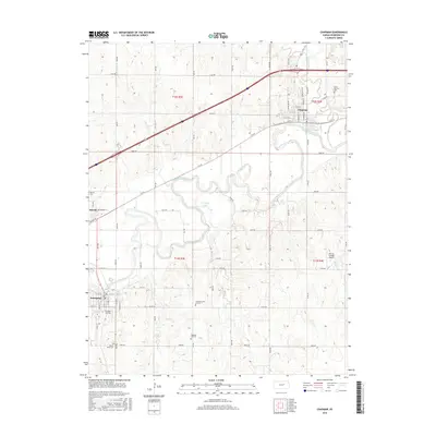
 - 2009 Map of Chapman, 2009 Print
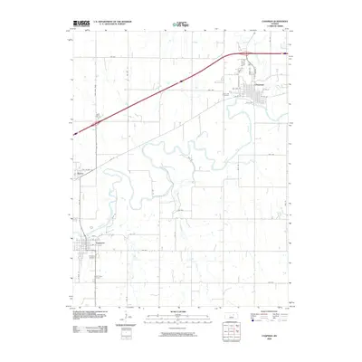 2009 Chapman2009 Print · USGSCovers Enterprise, including Chapman, Chapman, and other nearby areas
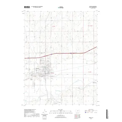
 - 2012 Map of Abilene, 2012 Print
 2012 Abilene2012 Print · USGSCovers Enterprise, including Abilene, Dickinson County, and other nearby areas
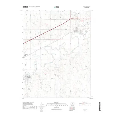
 - 2012 Map of Chapman, 2012 Print
 2012 Chapman2012 Print · USGSCovers Enterprise, including Chapman, Chapman, and other nearby areas
 - 2015 Map of Abilene, 2015 Print
 2015 Abilene2015 Print · USGSCovers Enterprise, including Abilene, Dickinson County, and other nearby areas
 - 2015 Map of Chapman, 2015 Print
 2015 Chapman2015 Print · USGSCovers Enterprise, including Chapman, Chapman, and other nearby areas
 - 2018 Map of Abilene, 2018 Print
 2018 Abilene2018 Print · USGSCovers Enterprise, including Abilene, Dickinson County, and other nearby areas
 - 2018 Map of Chapman, 2018 Print
 2018 Chapman2018 Print · USGSCovers Enterprise, including Chapman, Chapman, and other nearby areas
 - 2022 Map of Abilene, 2022 Print
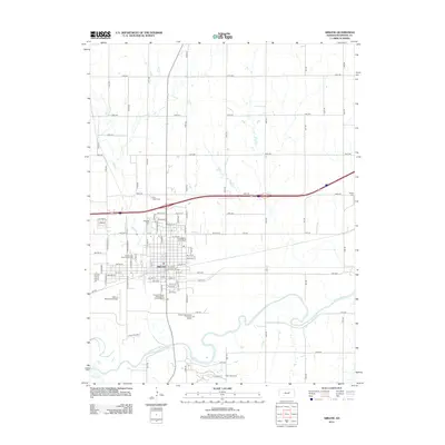
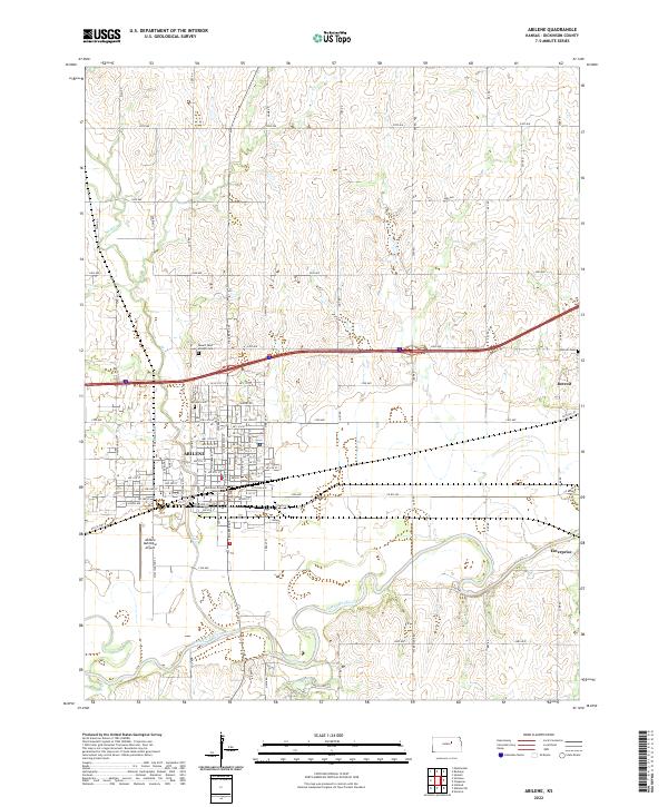 2022 Abilene2022 Print · USGSAbilene and the surrounding Dickinson County plains appear in this recent survey, showing the area's transition from river-bottom lands to high-prairie agriculture. Researchers can pinpoint the Dickinson County Courthouse and ancestral sites like Abilene Cem and Detroit Cem.
 - 2022 Map of Chapman, 2022 Print
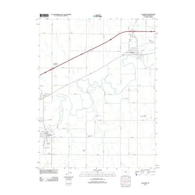
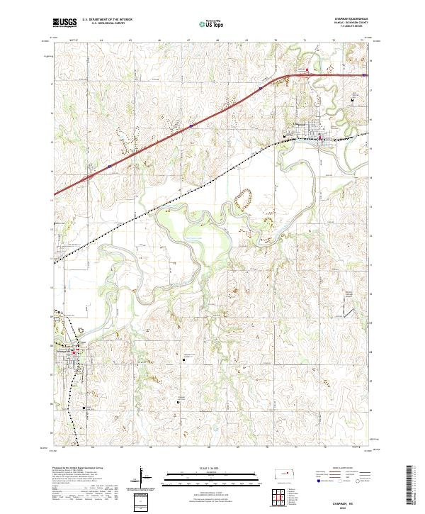 2022 Chapman2022 Print · USGSDickinson County is revealed in the early twenty-first century, centered on the winding path of the Smoky Hill River. Trace family history and rural development through numerous sites like Saint Patricks Cem, Detroit Cem, and the town of Enterprise.
End of results
Showing maps 1-10 of 10
Top cities near Enterprise
- Abilene historical maps
- Herington historical maps
- Chapman historical maps
- Chapman historical maps
- Buckeye historical maps
- Hope historical maps
See more
Frequently asked questions
- What are the different types of historical maps available for Enterprise?
- What is the oldest map of Enterprise?
- Where can I purchase historical maps of Enterprise for my home or office?
- Where can I download high-res historical maps of Enterprise?
- Are there historical topographic maps available for Enterprise?
- Is there historical aerial imagery available for Enterprise?
- Where are historical maps of Enterprise sourced from?