2000s (21st Century) Maps of Sherman Township, Kansas
Explore 45 historic maps of Sherman Township from the 2000s (21st Century). These maps offer a rare glimpse into what life looked like during the 2000s — showing old roads, neighborhoods, homes, and landmarks that have changed or disappeared over time.
Whether you're researching your family's past, planning a metal detecting trip, or studying how Sherman Township's landscape evolved across the 2000s, these high-resolution maps are a powerful tool for exploring the history of this region.
- Focus on a specific era: All maps on this page are from the 2000s, giving you a focused view of this time period.
- See what’s changed: Compare century-old streets, trails, and buildings to today's modern landscape using overlays and satellite layers.
- Research with precision: Use these maps for genealogy, historical research, land use analysis, or educational projects.
- View, download, or print: Maps are fully viewable online in high resolution, and can be downloaded or printed for your own records.
Start exploring Sherman Township's history through authentic maps from the 2000s. This is your window into the past.
Sherman Township, KS maps
(45)- 2009 Map of Ulysses SW, 2009 Print
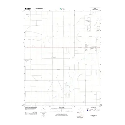 2009 Ulysses SW2009 Print · USGSGrant County is revealed here at the end of the decade as a landscape of structured prairie and critical regional infrastructure. Trace the early 2000s rural landscape through settlements like Stano, the industrial reach of the Pioneer Co-op Spur, and the winding North Fork Cimarron River.
 - 2009 Map of Hickok NE, 2009 Print
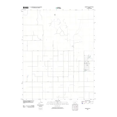 2009 Hickok NE2009 Print · USGSSherman Township in western Kansas reveals a landscape defined by industrial agriculture and energy extraction during the early twenty-first century. Researchers can trace the section-line road grid and locate the Master Feeders Eleven Incoporated Airport and the Pleasant Prairie Oil Field.
 - 2009 Map of Hickok, 2009 Print
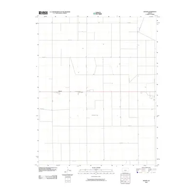 2009 Hickok2009 Print · USGSGrant County is captured here at the turn of the millennium, showing the vast agricultural grid of the Kansas plains. Researchers can trace the layout of Hickok and locate specific rural parcels near the Columbian Track and E Oklahoma Ave.
 - 2009 Map of Hickok NW, 2009 Print
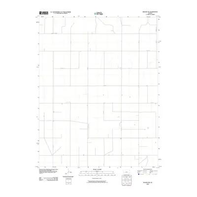 2009 Hickok NW2009 Print · USGSGrant County is revealed in the late 2000s as a landscape of precise agricultural geometry and rural infrastructure. Genealogists and historians can trace the network of section-line roads like County Line Rd, Deerfield Ln, and N Rd S.
 - 2009 Map of Hickok SE, 2009 Print
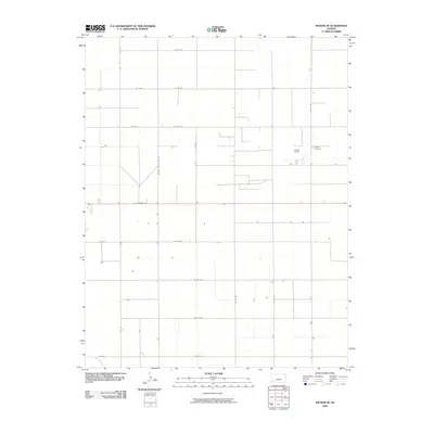 2009 Hickok SE2009 Print · USGSGrant County is captured in the early twenty-first century, showing a landscape defined by a relentless grid of section roads and energy development. Researchers can locate family sites near Canaan Cemetery or trace industrial activity throughout the Eubank Oil Field.
 - 2010 Map of Ulysses NW, 2010 Print
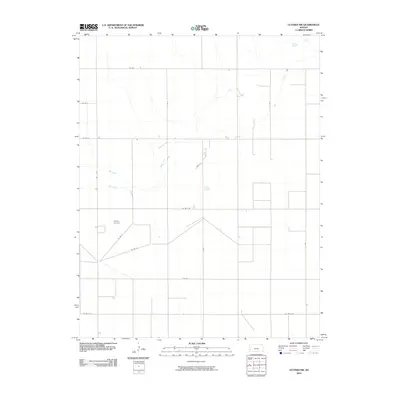 2010 Ulysses NW2010 Print · USGSSherman Township in Grant County is shown here in the early twenty-first century as a landscape of structured prairie agriculture. Genealogists and local historians can locate Shockey Cemetery or trace the drainage of Bear Creek and Wolf Creek.
 - 2010 Map of Ulysses NE, 2010 Print
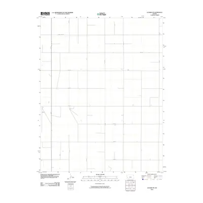 2010 Ulysses NE2010 Print · USGSGrant County in the early twenty-first century remains defined by its precise section-line grid and critical water infrastructure. Trace the intersection of State Hwy 25 and County Line Rd alongside vital landmarks like a lone Well.
 - 2010 Map of Big Bow NE, 2010 Print
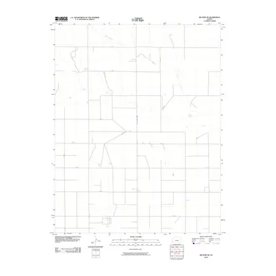 2010 Big Bow NE2010 Print · USGSGrant County agricultural lands are shown in the early twenty-first century, revealing a precise grid of rural transit corridors. Researchers can trace the path of Bear Creek and the distinctive diagonal of the N "Big Bow" Grade through the township.
 - 2010 Map of Big Bow, 2010 Print
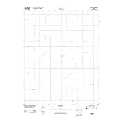 2010 Big Bow2010 Print · USGSSherman Township at the start of the twenty-first century remains a landscape of precise agricultural geometry centered on the small community of Big Bow. Researchers can trace local section lines and rural routes like N Big Bow Grade as they converge near Sand Arroyo Creek.
 - 2012 Map of Big Bow, 2012 Print
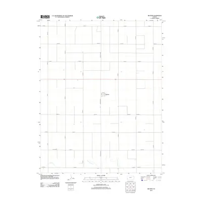 2012 Big Bow2012 Print · USGSBig Bow and the surrounding Sherman Township are captured here in the early twenty-first century, showcasing the persistent grid of the High Plains. Genealogists and land researchers can trace property boundaries along N Big Bow Grade or locate the rural settlement at Big Bow near the seasonal waters of Sand Arroyo Cr.
 - 2012 Map of Hickok SE, 2012 Print
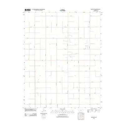 2012 Hickok SE2012 Print · USGSSherman Township in western Kansas was defined by agricultural precision and energy production in the early twenty-first century. Genealogists and local historians can locate Canaan Cem and trace the development of the Eubank Oil Field among the grid of Co Rd-100 and Road X.
 - 2012 Map of Hickok NE, 2012 Print
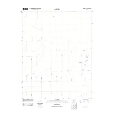 2012 Hickok NE2012 Print · USGSGrant County is shown in the early twenty-first century as a landscape of structured agricultural production and energy extraction. Trace the intersection of industrial aviation and ranching at Hitch Feeders II Inc. Airport or the layout of the Pleasant Prairie Oil Field.
 - 2012 Map of Hickok NW, 2012 Print
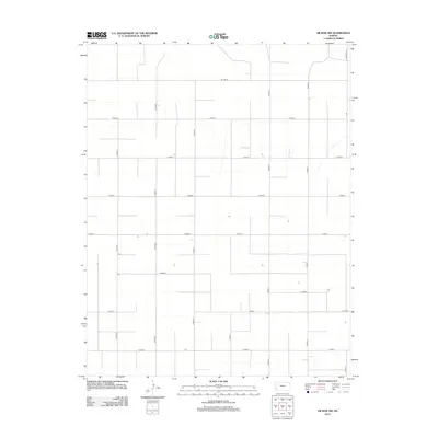 2012 Hickok NW2012 Print · USGSSherman Township in the early 2010s remains a meticulously organized agricultural landscape within Grant County. Genealogists and researchers can trace rural landholdings and farmstead access along the extensive road grid, from Co Line Rd to E Road 8.
 - 2012 Map of Ulysses SW, 2012 Print
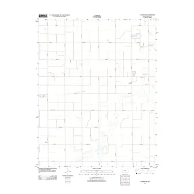 2012 Ulysses SW2012 Print · USGSSouthwest Kansas at the start of the decade reveals a landscape of high-plains agriculture and regional transit. Genealogists and historians can trace local landmarks like Stano, the winding N Fork Cimarron River, and the industrial Pioneer Co-op Spur.
 - 2012 Map of Ulysses NE, 2012 Print
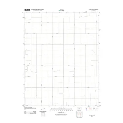 2012 Ulysses NE2012 Print · USGSWestern Kansas agriculture in the early twenty-first century is defined here by an expansive grid of section-line roads and seasonal watercourses. Genealogists and land researchers can trace property access and boundaries along Lakin Draw, Co Line Rd, and N Stubbs Rd.
 - 2012 Map of Ulysses NW, 2012 Print
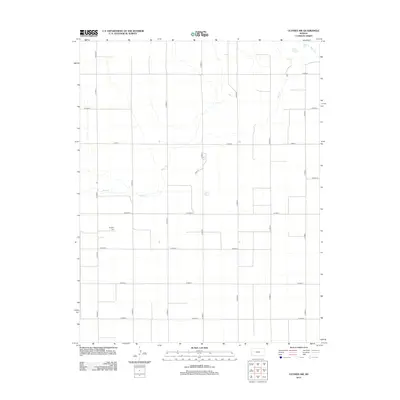 2012 Ulysses NW2012 Print · USGSHigh Plains agriculture and section-line history define this Grant County landscape in the early twenty-first century. Researchers can locate family landmarks like Shockey Cem and trace the drainage of Bear Ck and Wolf Cr through the local road grid.
 - 2012 Map of Big Bow NE, 2012 Print
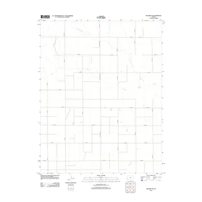 2012 Big Bow NE2012 Print · USGSSherman Township in western Kansas exhibits its structured agricultural character in the early 2010s. Modern researchers can trace the section-line road network and seasonal watercourses like Wolf Cr, Bear Ck, and the prominent N Big Bow Grade.
 - 2012 Map of Hickok, 2012 Print
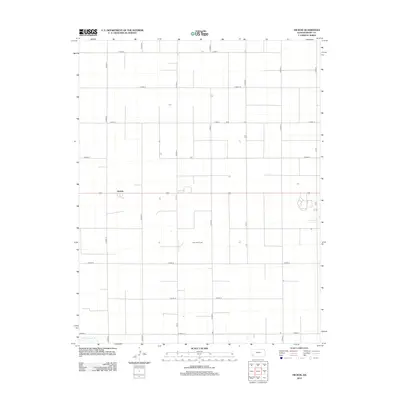 2012 Hickok2012 Print · USGSSherman Township in the early twenty-first century remains a landscape of precise geometry and high-plains agriculture. Genealogists and local historians can trace the rural infrastructure surrounding Hickok and the course of the N Fk Cimarron R.
 - 2015 Map of Ulysses NW, 2015 Print
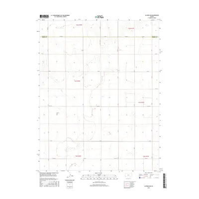 2015 Ulysses NW2015 Print · USGSThe high plains of western Kansas are captured in the mid-2010s, showing a landscape defined by industrial agriculture and section-line roads. Researchers can trace the path of Wolf Cr or follow rural routes like Co Rd D through the heart of the territory.
 - 2015 Map of Hickok NW, 2015 Print
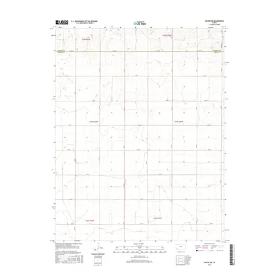 2015 Hickok NW2015 Print · USGSThe high plains along the border of Kearny Co and Grant Co are shown here in their modern agricultural layout. Genealogists and land researchers can trace property boundaries and rural homesteads along the grid of Co Line Rd and Deerfield Ln.
 - 2015 Map of Hickok NE, 2015 Print
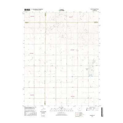 2015 Hickok NE2015 Print · USGSThe four-county junction of Kearny, Finney, Grant, and Haskell counties comes into sharp focus during the mid-2010s. Researchers can trace rural aviation and land use through Hitch Feeders II Inc. Airport and the grid of Haskell Co Line Rd.
 - 2015 Map of Ulysses SW, 2015 Print
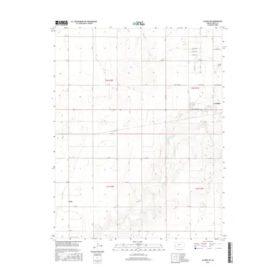 2015 Ulysses SW2015 Print · USGSGrant County’s high plains landscape near the mid-2010s reveals a mix of agricultural sections and growing suburban development. Trace the rural settlement of Stano, the path of the N Fork Cimarron River, and the layout of the Ulysses Airport.
 - 2015 Map of Big Bow NE, 2015 Print
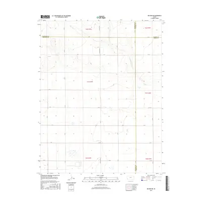 2015 Big Bow NE2015 Print · USGSFour Kansas counties converge in this 2015 survey of the High Plains agricultural grid. Genealogists and local historians can trace the precise boundaries of Grant and Stanton counties while following section-line routes like Big Bow Grade and Wolf Cr.
 - 2015 Map of Ulysses NE, 2015 Print
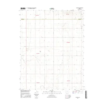 2015 Ulysses NE2015 Print · USGSThe High Plains of Grant and Kearny Counties appear in this modern survey, defined by the vast agricultural grid of the Kansas interior. Genealogists and local historians can trace the paths of Co Line Rd and the drainage of Lakin Draw across the township lines.
 - 2016 Map of Hickok, 2016 Print
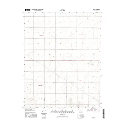 2016 Hickok2016 Print · USGSGrant County in the mid-2010s reveals a precision-engineered landscape of high plains agriculture centered on the settlement of Hickok. Genealogists and local historians can trace the grid of section lines and roads like Moscow Hickok Rd and E Oklahoma Ave.
Showing maps 1-25 of 45
Top cities near Sherman Township
Frequently asked questions
- What are the different types of historical maps available for Sherman Township?
- What is the oldest map of Sherman Township?
- Where can I purchase historical maps of Sherman Township for my home or office?
- Where can I download high-res historical maps of Sherman Township?
- Are there historical topographic maps available for Sherman Township?
- Is there historical aerial imagery available for Sherman Township?
- Where are historical maps of Sherman Township sourced from?