Old Maps of Elkhart, Kansas for Hiking & Exploration
Hike through history with 19 historic maps of Elkhart. Explore old trails, ghost towns, and forgotten backroads — perfect for outdoor adventurers and local explorers.
- Rediscover forgotten places: Map out old mining camps, roads, and footpaths that no longer exist on modern maps.
- Layer with modern tools: Combine with LiDAR or satellite views to plan hikes through historical terrain.
- Made for exploration: Popular among hikers, overlanders, and local history lovers.
Use these maps to find adventure and explore the hidden past of Elkhart.
Elkhart, KS maps
(19)- 1954 Map of Perryton, 1966 Print
 1954 Perryton1966 Print · USGSThe High Plains of the Texas and Oklahoma panhandles are shown during a period of steady growth in the mid-1950s. Genealogists and researchers can trace rail history and local landmarks like Panhandle A & M College, Spurlock Chapel, and the isolated Lord Station.3 unique versions available
 - 1955 Map of Dodge City, 1968 Print
 1955 Dodge City1968 Print · USGSSouthwest Kansas in the mid-fifties reveals an expansive landscape of cattle towns, early gas fields, and prairie outposts. Researchers can trace rural school districts like Moundview and Good Luck or locate the Kansas State Game Farm near Lakin.3 unique versions available
 - 1958 Map of Perryton
 1958 Perryton1958 Print · USGSThe Oklahoma Panhandle and Texas borderlands come alive in this mid-century survey, showing the vital rail-and-ranch economy of the High Plains. Researchers can trace historic stops along the Chicago Rock Island and Pacific and locate rural landmarks like Bethel Church and Spurlock Chapel.
 - 1958 Map of Dodge City
 1958 Dodge City1958 Print · USGSSouthwest Kansas in the late fifties shows a landscape of river-valley agriculture and burgeoning energy infrastructure. Genealogists can trace rural life through numerous landmarks like Fairview Cemetery, the Goodwell School, and Concord Church.
 - 1959 Map of Dodge City
 1959 Dodge City1959 Print · USGSSouthwest Kansas in the mid-fifties is captured at its agricultural height, centered on the vital rail and river hubs of Dodge City and Garden City. Genealogists and local historians can trace rural school districts like Shockey School and Hickok School or locate the Fairview Cemetery.
 - 1973 Map of Elkhart South, 1975 Print
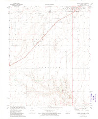 1973 Elkhart South1975 Print · USGSThe Oklahoma-Kansas border comes to life in the early seventies, centered on the energy-rich panhandle landscape and the town of Elkhart. Researchers can trace the Atchison Topeka and Santa Fe rail line past Libbey or locate local landmarks like the Drive-in Theater.
 - 1973 Map of Elkhart North, 1975 Print
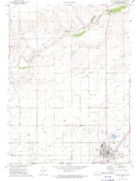 1973 Elkhart North1975 Print · USGSThe High Plains of the Kansas-Oklahoma border are captured here in the early seventies, centered on the railroad town of Elkhart. Genealogists and historians can trace local landmarks like the Cemetery, the A T & S F rail line, and the landmark Point of Rocks along the Cimarron River.
 - 1982 Map of Guymon
 1982 Guymon1982 Print · USGSThe Oklahoma Panhandle and neighboring borders come into focus in the early eighties, showing a landscape of energy production and isolated prairie towns. Genealogists and historians can trace the rail-side growth of Guymon, the campus at Oklahoma Panhandle State University, and the extensive Oil and Gas Field developments.
 - 1983 Map of Hugoton, 1984 Print
 1983 Hugoton1984 Print · USGSSouthwestern Kansas during the early 1980s reveals a landscape shaped by the energy industry and deep western history. Researchers can trace the Old Santa Fe Trail and explore the Gas Field surrounding Hugoton and Rolla.
 - 2011 Map of Elkhart South, 2011 Print
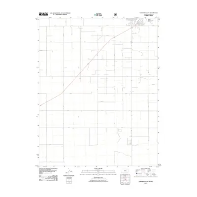 2011 Elkhart South2011 Print · USGSElkhart and the surrounding Morton County plains appear in this 2011 survey as an organized network of ranching and transport. Researchers can locate the Elkhart-Morton County Airport and the large Amigo Feeders facility amidst the grid of Road E and Rd H.
 - 2011 Map of Elkhart North, 2011 Print
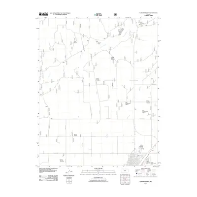 2011 Elkhart North2011 Print · USGSElkhart and the surrounding Morton County grasslands are documented here in the early twenty-first century. Researchers can trace the layout of the town near the Morton County Fairgrounds or locate landmarks like Point of Rocks along the Cimarron River.
 - 2012 Map of Elkhart North, 2012 Print
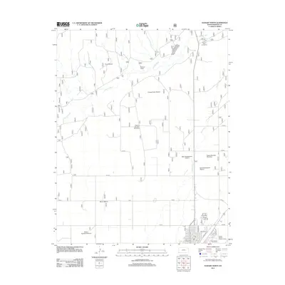 2012 Elkhart North2012 Print · USGSElkhart and the surrounding Morton County ranchlands are documented here in the early twenty-first century. Researchers can trace the layout of the town's streets and find significant local landmarks like the Morton County Fairgrounds and Point of Rocks.
 - 2012 Map of Elkhart South, 2012 Print
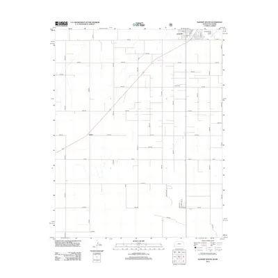 2012 Elkhart South2012 Print · USGSThe Kansas-Oklahoma border comes into focus in the early twenty-first century, revealing a landscape of high plains agriculture and state-line settlements. Researchers can trace the layout of Elkhart, locate Cosmos Cem, and explore the rural outpost of Libbey.
 - 2015 Map of Elkhart South, 2015 Print
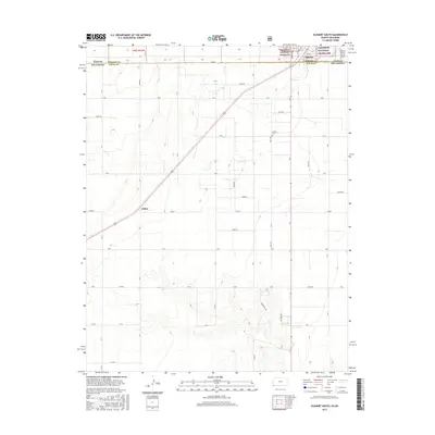 2015 Elkhart South2015 Print · USGSThe Kansas and Oklahoma borderlands come into focus in this mid-2010s survey of the high plains near Elkhart. Researchers can trace the rail line through Libbey, locate the Cosmos Cem, and explore the extent of the Cimarron National Grassland.
 - 2015 Map of Elkhart North, 2015 Print
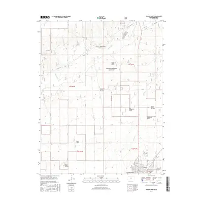 2015 Elkhart North2015 Print · USGSMorton County ranching and prairie management are on full display in the mid-2010s within the Cimarron National Grassland. Genealogists and historians can trace the town of Elkhart and explore the historic Point of Rocks landmark and its proximity to the Cimarron River.
 - 2018 Map of Elkhart South, 2018 Print
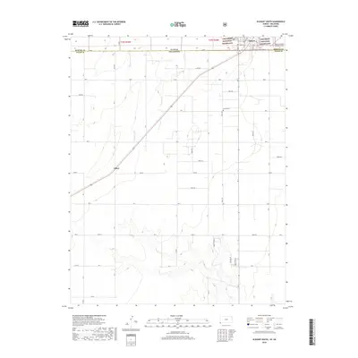 2018 Elkhart South2018 Print · USGSThe high plains of the Kansas-Oklahoma border are captured here in the late 2010s, showing the intersection of ranching land and federal conservation areas. Genealogists and local historians can trace rural roads to Cosmos Cem or locate the site of Libbey south of Elkhart.
 - 2018 Map of Elkhart North, 2018 Print
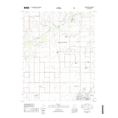 2018 Elkhart North2018 Print · USGSThe high plains of Morton County are captured here in 2018, showcasing the intersection of the historic Santa Fe Trail and modern ranching. Researchers can trace the Santa Fe NHT-North Rte, locate the Elkhart Cem, and explore named grazing lands like Point Pasture.
 - 2022 Map of Elkhart North, 2022 Print
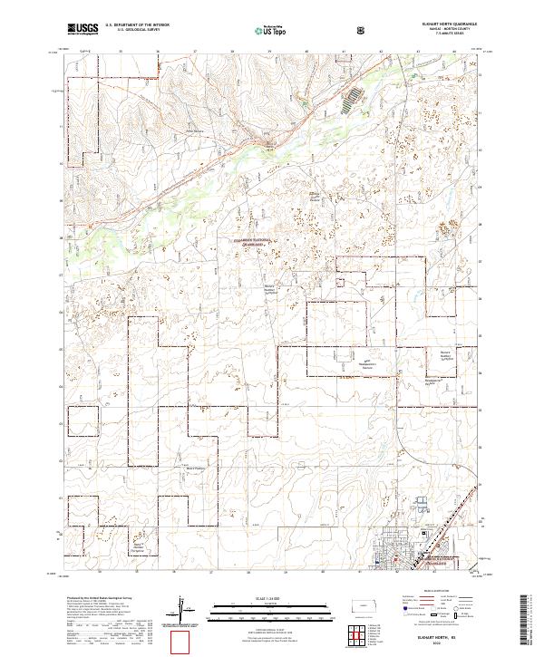 2022 Elkhart North2022 Print · USGSMorton County's high plains and river breaks appear here in the early twenty-first century, centered on the protected Cimarron National Grassland. Researchers can trace historic routes along the Santa Fe National Historic Trl and locate local landmarks like Point of Rocks and the Elkhart Cem.
 - 2022 Map of Elkhart South, 2022 Print
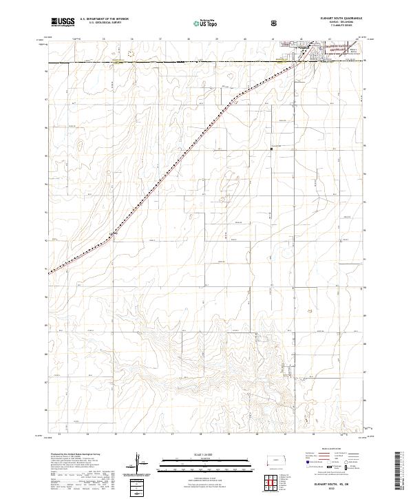 2022 Elkhart South2022 Print · USGSThe Kansas-Oklahoma border comes alive in this survey of the high plains south of Elkhart. Genealogists and local researchers can trace early family plots at Cosmos Cem or locate the former rail stop at Libbey along the section lines.
End of results
Showing maps 1-19 of 19
Frequently asked questions
- What are the different types of historical maps available for Elkhart?
- What is the oldest map of Elkhart?
- Where can I purchase historical maps of Elkhart for my home or office?
- Where can I download high-res historical maps of Elkhart?
- Are there historical topographic maps available for Elkhart?
- Is there historical aerial imagery available for Elkhart?
- Where are historical maps of Elkhart sourced from?