Old Maps of Capioma, Kansas for Academic Research
Study the evolution of Capioma with 14 high-resolution historic maps. Whether you're teaching, researching, or modeling changes in land use, these maps provide essential visual documentation of urban, environmental, and geographic change.
- Analyze long-term change: Track patterns in development, transportation, and natural features.
- Ideal for environmental or urban studies: Support academic projects with primary historical map data.
- Use in the classroom or lab: Educators and researchers rely on these maps to bring historical context to life.
These maps are a powerful tool for teaching, research, and visualizing how Capioma has changed over the decades.
Capioma, KS maps
(14)- 1888 Map of Hiawatha
 1888 Hiawatha1888 Print · USGSNortheast Kansas in the late 1880s was a bustling corridor of competing rail lines and established tribal lands. Researchers can trace the path of the Kansas Central Railroad and locate early settlements like Powhattan, Baker, and Wetmore.
 - 1894 Map of Hiawatha
 1894 Hiawatha1894 Print · USGSNortheastern Kansas was a bustling intersection of tribal lands and iron rails in the late nineteenth century. Genealogists and historians can trace the early development of Hiawatha, the boundaries of the Kickapoo Indian Reservation, and rail stops like Netawaka or Berwick.4 unique versions available
 - 1950 Map of Kansas City
 1950 Kansas City1950 Print · USGSMid-century Kansas and Missouri are captured here during a period of industrial growth and shifting transportation. Genealogists and historians can trace rail lines like the Wabash RR or locate ancestral homes near the Potawatomi Indian Reservation and Horton.
 - 1954 Map of Kansas City
 1954 Kansas City1954 Print · USGSThe Missouri-Kansas borderlands flourished in the post-war era as river commerce and rail networks converged at the Missouri River. Genealogists and historians can trace the foundations of Kansas City and smaller rural hubs like Hiawatha or Sabetha.
 - 1956 Map of Kansas City, 1967 Print
 1956 Kansas City1967 Print · USGSThe Kansas-Missouri border region thrived during the mid-fifties, centered on the growing metropolitan cores and the busy river valleys. Researchers can trace the layout of significant government sites like Fort Leavenworth and the Lake City Army Ammunition Plant.4 unique versions available
 - 1960 Map of Kansas City
 1960 Kansas City1960 Print · USGSMid-century Kansas and Missouri meet at the river forks, showing a sprawling rail-and-river economy during the 1950s growth era. Genealogists and researchers can trace tribal lands like the Kickapoo Indian Reservation or follow the early interstate corridors through Saint Joseph and Independence.3 unique versions available
 - 1961 Map of Woodlawn, 1962 Print
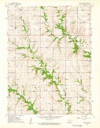 1961 Woodlawn1962 Print · USGSNortheastern Kansas is shown here in the early sixties, split by the Nemaha and Brown county lines. Genealogists and historians can trace family locations near Woodlawn, Capioma, and Fidelity, or locate the Woodlawn Cem and local Quarries.
 - 1985 Map of Atchison
 1985 Atchison1985 Print · USGSNortheast Kansas at the mid-eighties shows a landscape of river-bend towns and expansive tribal lands during a period of steady agricultural and rail activity. Local researchers can locate family sites at Mt Hope Cemetery, trace the grounds of Highland College, or explore the limits of the Kickapoo Indian Reservation.
 - 1990 Map of Atchison
 1990 Atchison1990 Print · USGSNortheast Kansas and northwest Missouri meet at the winding Missouri River in this late twentieth-century record of a historic border region. Researchers can trace the paths of the Pony Express Trail and the Atchison Topeka and Santa Fe Railway while locating landmarks like St Benedicts College and Mount Vernon Cem.
 - 2009 Map of Woodlawn, 2009 Print
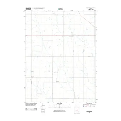 2009 Woodlawn2009 Print · USGSNemaha County at the opening of the 21st century remains a landscape of quiet township roads and winding creek beds. Genealogists and local historians can trace the rural hubs of Capioma and Woodlawn, or locate family sites near Woodlawn Cemetery and Fidelity.
 - 2012 Map of Woodlawn, 2012 Print
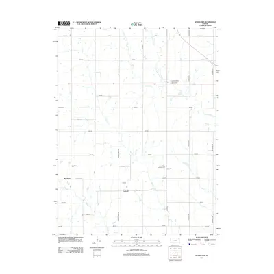 2012 Woodlawn2012 Print · USGSThe rural prairie of Nemaha County comes into focus in the early 2010s, showing a landscape of established farmsteads and historic crossroads. Genealogists can trace family footprints at Woodlawn Cem, Saint Augustine's Cem, and the old settlement of Capioma.
 - 2015 Map of Woodlawn, 2015 Print
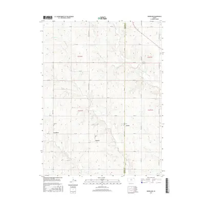 2015 Woodlawn2015 Print · USGSNortheastern Kansas farm country is captured here in the mid-2010s at the Nemaha and Brown County line. Genealogists and local historians can locate the Woodlawn Cem, Saint Augustine's Cem, and the small settlement of Capioma.
 - 2018 Map of Woodlawn, 2018 Print
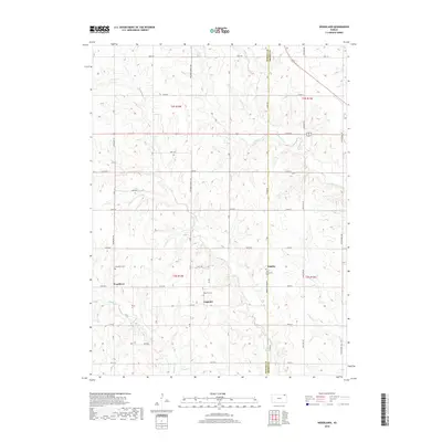 2018 Woodlawn2018 Print · USGSThe rural border of Nemaha and Brown counties comes into focus in this recent study of Northeast Kansas farming country. Genealogists and local historians can locate early burial sites like Caploma Cem and Woodlawn Cem near the quiet hamlets of Woodlawn and Fidelity.
 - 2022 Map of Woodlawn, 2022 Print
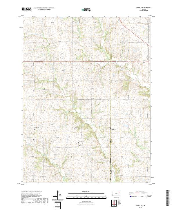 2022 Woodlawn2022 Print · USGSThe Nemaha and Brown County line comes alive in this modern survey of eastern Kansas prairie settlements. Genealogists and local historians can trace family ties at Woodlawn Cem and Capioma Cem or follow the early paths of the Delaware River.
End of results
Showing maps 1-14 of 14
Top cities near Capioma
- Sabetha historical maps
- Berwick historical maps
- Wetmore historical maps
- Fairview historical maps
- Morrill historical maps
- Whiting historical maps
See more
Frequently asked questions
- What are the different types of historical maps available for Capioma?
- What is the oldest map of Capioma?
- Where can I purchase historical maps of Capioma for my home or office?
- Where can I download high-res historical maps of Capioma?
- Are there historical topographic maps available for Capioma?
- Is there historical aerial imagery available for Capioma?
- Where are historical maps of Capioma sourced from?