Old Maps of Cheyenne Gap, Kansas for Metal Detecting
Plan your next treasure hunt with 10 historic maps of Cheyenne Gap. Find old homesites, ghost towns, trails, and gathering spots that may be lost to time — perfect for identifying promising metal detecting locations.
- Locate forgotten sites: Uncover places like long-lost settlements, abandoned rail lines, or gathering spots.
- Plan better hunts: Use map overlays combined with LiDAR or satellite views to narrow in on historically rich areas.
- Made for detectorists: Thousands of hobbyists use these maps to discover relics, coins, and hidden history.
Use these historic maps to boost your research and find new opportunities beneath the surface of Cheyenne Gap.
Cheyenne Gap, KS maps
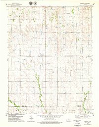
(10)- 1896 Map of Osborne
 1896 Osborne1896 Print · USGSNorth Central Kansas in the late nineteenth century was a landscape of budding railroad towns and river-fed townships. Researchers can trace the early layout of Osborne and Luray, or locate vanished rural hubs like Corinth, Bristow, and the Meade Ranch.4 unique versions available
 - 1955 Map of Beloit, 1971 Print
 1955 Beloit1971 Print · USGSNorth Central Kansas in the mid-fifties shows a landscape of river-valley agriculture and expanding water infrastructure. Genealogists can trace the rail lines of the Union Pacific through towns like Nicodemus, Cawker City, and the State Sanatorium.3 unique versions available
 - 1959 Map of Beloit
 1959 Beloit1959 Print · USGSNorth Central Kansas at mid-century reveals a landscape shaped by river valleys and the expansion of massive water reservoirs. Genealogists and historians can trace the rail-town connections of Beloit and Norton or locate the site of the new Webster Dam.3 unique versions available
 - 1978 Map of Vincent, 1979 Print
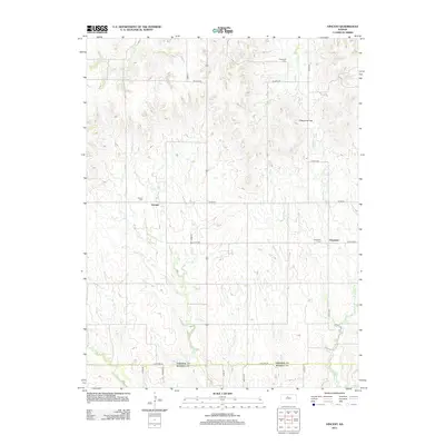
 1978 Vincent1979 Print · USGSOsborne and Russell counties in the late 1970s reveal a landscape of high-plains agriculture and small rural centers. Researchers can trace family history through the Potterville Cemetery and Cheyenne Church or locate landmarks like Cheyenne Gap.
 - 1985 Map of Beloit
 1985 Beloit1985 Print · USGSNorth Central Kansas in the mid-eighties shows a landscape shaped by the Solomon and Saline rivers and the massive Waconda Lake. Researchers can trace the routes of the Missouri Pacific RR and locate rural landmarks like the State Girls School and Denmark.2 unique versions available
 - 2009 Map of Vincent, 2009 Print
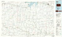
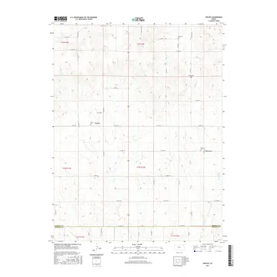
 2009 Vincent2009 Print · USGSCovers Cheyenne Gap, including Cheyenne, Vincent, and other nearby areas
 - 2012 Map of Vincent, 2012 Print
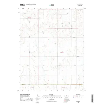
 2012 Vincent2012 Print · USGSCovers Cheyenne Gap, including Cheyenne, Vincent, and other nearby areas
 - 2015 Map of Vincent, 2015 Print
 2015 Vincent2015 Print · USGSCovers Cheyenne Gap, including Cheyenne, Vincent, and other nearby areas
 - 2018 Map of Vincent, 2018 Print
 2018 Vincent2018 Print · USGSCovers Cheyenne Gap, including Cheyenne, Vincent, and other nearby areas
 - 2022 Map of Vincent, 2022 Print
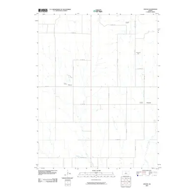
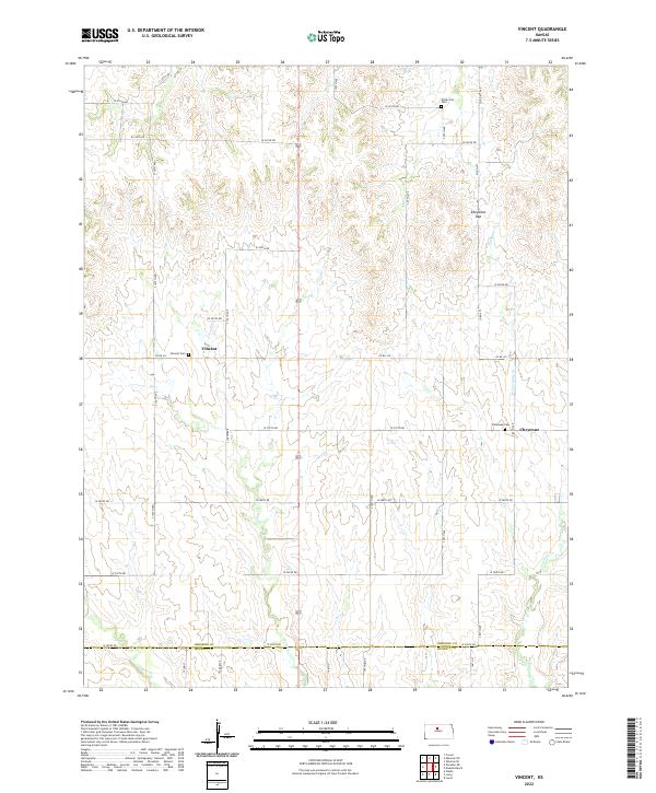 2022 Vincent2022 Print · USGSOsborne County farm country is mapped here during its modern agricultural era. Researchers can trace rural lineages through the Potterville Cem and Cheyenne Cem or locate the natural landmark of Cheyenne Gap.
End of results
Showing maps 1-10 of 10
Top cities near Cheyenne Gap
- Osborne historical maps
- Lucas historical maps
- Tipton historical maps
- Luray historical maps
- Corinth historical maps
- Waldo historical maps
See more
Frequently asked questions
- What are the different types of historical maps available for Cheyenne Gap?
- What is the oldest map of Cheyenne Gap?
- Where can I purchase historical maps of Cheyenne Gap for my home or office?
- Where can I download high-res historical maps of Cheyenne Gap?
- Are there historical topographic maps available for Cheyenne Gap?
- Is there historical aerial imagery available for Cheyenne Gap?
- Where are historical maps of Cheyenne Gap sourced from?