Old Maps of Huntsville, Kansas for Genealogy
Trace your family roots with 11 historic maps of Huntsville. These high-res maps reveal old neighborhoods, homesites, landmarks, and streets — helping you uncover where your ancestors lived and how the area evolved over time.
- Explore historic neighborhoods: Identify where your relatives may have lived in the 1800s or 1900s.
- Compare maps over time: Trace the changes in streets, buildings, and landmarks for multi-generational research.
- Perfect for genealogy & ancestry research: Used by family historians and researchers to map out lineage and migration.
These maps are an incredible resource for exploring your personal connection to Huntsville's past.
Huntsville, KS maps
(11)- 1894 Map of Lyons
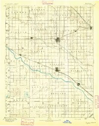 1894 Lyons1894 Print · USGSRice County during the late nineteenth-century rail boom shows a landscape organized by townships and expanding prairie towns. Researchers can trace the early development of Lyons and Sterling or locate vanished landmarks like Huntsville P.O. and the Black Marsh.5 unique versions available
 - 1955 Map of Great Bend, 1966 Print
 1955 Great Bend1966 Print · USGSCentral Kansas during the mid-sixties transition reveals a landscape defined by new reservoirs and enduring rail corridors. Researchers can trace the development of towns like Hays and Great Bend or locate natural landmarks such as Round Mound and the wetlands of the Quivira National Wildlife Refuge.3 unique versions available
 - 1957 Map of Great Bend
 1957 Great Bend1957 Print · USGSCentral Kansas at the peak of the postwar era shows a landscape of growing rail hubs and massive new water projects. Trace the routes of the Union Pacific through Hays or locate the newly formed shorelines of Cedar Bluff Reservoir and Kanopolis Reservoir.
 - 1958 Map of Great Bend
 1958 Great Bend1958 Print · USGSCentral Kansas in the late fifties reveals a landscape of high-plains agriculture and vital river crossings. Researchers can trace the development of regional hubs like Hays and Russell, or locate historic sites such as Fort Larned and the Cheyenne Bottoms wildlife area.2 unique versions available
 - 1971 Map of Alden SE, 1972 Print
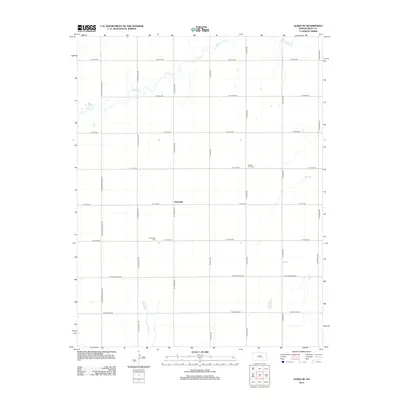
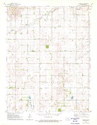 1971 Alden SE1972 Print · USGSReno County's agricultural and energy landscape is captured here in the early seventies, centered on the settlement of Huntsville. Genealogists and local historians can locate the Huntsville Cem, Pleasant View Cem, and numerous Oil Wells across the prairie.2 unique versions available
 - 1985 Map of Great Bend
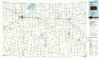 1985 Great Bend1985 Print · USGSBarton and Rice counties come into focus during the mid-eighties as centers of rail transport and energy production. Genealogists and historians can trace the paths of the Atchison Topeka and Santa Fe through settlements like Ellinwood, Sterling, and Pawnee Rock.2 unique versions available
 - 2009 Map of Alden SE, 2009 Print
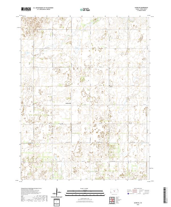
 2009 Alden SE2009 Print · USGSCovers Huntsville, including Reno County, United States, and other nearby areas
 - 2012 Map of Alden SE, 2012 Print
 2012 Alden SE2012 Print · USGSCovers Huntsville, including Reno County, United States, and other nearby areas
 - 2015 Map of Alden SE, 2015 Print
 2015 Alden SE2015 Print · USGSCovers Huntsville, including Reno County, United States, and other nearby areas
 - 2018 Map of Alden SE, 2018 Print
 2018 Alden SE2018 Print · USGSCovers Huntsville, including Reno County, United States, and other nearby areas
 - 2022 Map of Alden SE, 2022 Print
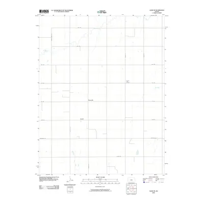
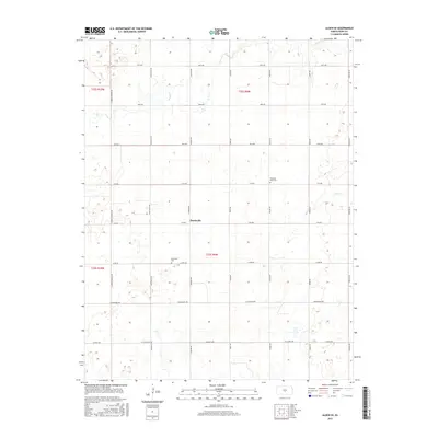
 2022 Alden SE2022 Print · USGSReno County's agricultural heartland is documented here in the early twenty-first century, showing the enduring rural layout of the Kansas plains. Family historians can pinpoint Huntsville Cem and Pleasant View Cem near the small community of Huntsville.
End of results
Showing maps 1-11 of 11
Top cities near Huntsville
- Sterling historical maps
- Nickerson historical maps
- Arlington historical maps
- Sylvia historical maps
- Alden historical maps
- Abbyville historical maps
See more
Frequently asked questions
- What are the different types of historical maps available for Huntsville?
- What is the oldest map of Huntsville?
- Where can I purchase historical maps of Huntsville for my home or office?
- Where can I download high-res historical maps of Huntsville?
- Are there historical topographic maps available for Huntsville?
- Is there historical aerial imagery available for Huntsville?
- Where are historical maps of Huntsville sourced from?