Old Maps of Warwick, Kansas for Genealogy
Trace your family roots with 11 historic maps of Warwick. These high-res maps reveal old neighborhoods, homesites, landmarks, and streets — helping you uncover where your ancestors lived and how the area evolved over time.
- Explore historic neighborhoods: Identify where your relatives may have lived in the 1800s or 1900s.
- Compare maps over time: Trace the changes in streets, buildings, and landmarks for multi-generational research.
- Perfect for genealogy & ancestry research: Used by family historians and researchers to map out lineage and migration.
These maps are an incredible resource for exploring your personal connection to Warwick's past.
Warwick, KS maps
(11)- 1892 Map of Concordia
 1892 Concordia1892 Print · USGSNorth-central Kansas thrives as a railroad and river corridor in the early 1890s, where the Republican River meets a dense web of competing iron rails. Genealogists and researchers can pinpoint early homesteads near Concordia, Belleville, and vanished rural stops like Seapo or Lake Sibley.4 unique versions available
 - 1955 Map of Manhattan, 1964 Print
 1955 Manhattan1964 Print · USGSNorth Central Kansas is captured here in the mid-fifties, just as major flood control projects began reshaping the river valleys. Genealogists can locate family sites near St. Joseph Church, Sunset Cemetery, or along the busy tracks of the Rock Island RR.4 unique versions available
 - 1956 Map of Manhattan
 1956 Manhattan1956 Print · USGSNorth-central Kansas in the mid-fifties reveals a landscape defined by the convergence of the Republican River and Smoky Hill River. Historians can trace the rail corridors of the Union Pacific RR and Missouri Pacific RR through towns like Manhattan and Clay Center.
 - 1957 Map of Manhattan
 1957 Manhattan1957 Print · USGSNortheast Kansas in the mid-1950s reveals a landscape of expanding military installations and new water projects. Genealogists and historians can trace the rail-to-river economy through the Union Pacific RR and old settlements like Clay Center or Marysville.
 - 1969 Map of Scandia NW, 1971 Print
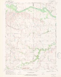 1969 Scandia NW1971 Print · USGSThe Kansas-Nebraska borderlands are shown here in the late sixties, where irrigation canals and river bends define the rural landscape. Researchers can trace the Burlington Northern line through Warwick or find family roots at White Rock Cem and Rose Mound Cent.
 - 1985 Map of Concordia
 1985 Concordia1985 Print · USGSNorth Central Kansas in the mid-eighties shows a robust agricultural and rail corridor centered on the Republican River. Genealogists and historians can trace rail lines and community centers like the St Joseph Ch, Belleville Cem, and Cloud County Comm College.2 unique versions available
 - 2010 Map of Scandia NW, 2010 Print
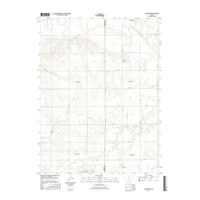
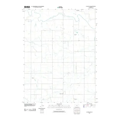 2010 Scandia NW2010 Print · USGSCovers Warwick, including White Rock, Republic County, and other nearby areas
 - 2012 Map of Scandia NW, 2012 Print
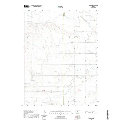
 2012 Scandia NW2012 Print · USGSCovers Warwick, including White Rock, Republic County, and other nearby areas
 - 2016 Map of Scandia NW, 2016 Print
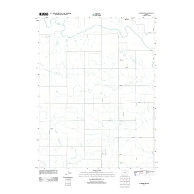
 2016 Scandia NW2016 Print · USGSCovers Warwick, including White Rock, Republic County, and other nearby areas
 - 2018 Map of Scandia NW, 2018 Print
 2018 Scandia NW2018 Print · USGSCovers Warwick, including White Rock, Republic County, and other nearby areas
 - 2022 Map of Scandia NW, 2022 Print
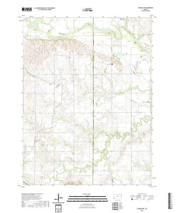 2022 Scandia NW2022 Print · USGSThe borderlands of Jewell and Republic counties are captured here in the early twenty-first century, showing a landscape shaped by the Republican River. Researchers can locate rural landmarks like Rose Mound Cem, Fairview Cem, and the settlement of Warwick.
End of results
Showing maps 1-11 of 11
Top cities near Warwick
- Superior historical maps
- Deshler historical maps
- Nelson historical maps
- Scandia historical maps
- Courtland historical maps
- Hardy historical maps
See more
Frequently asked questions
- What are the different types of historical maps available for Warwick?
- What is the oldest map of Warwick?
- Where can I purchase historical maps of Warwick for my home or office?
- Where can I download high-res historical maps of Warwick?
- Are there historical topographic maps available for Warwick?
- Is there historical aerial imagery available for Warwick?
- Where are historical maps of Warwick sourced from?