Old Maps of Palco, Kansas for Academic Research
Study the evolution of Palco with 16 high-resolution historic maps. Whether you're teaching, researching, or modeling changes in land use, these maps provide essential visual documentation of urban, environmental, and geographic change.
- Analyze long-term change: Track patterns in development, transportation, and natural features.
- Ideal for environmental or urban studies: Support academic projects with primary historical map data.
- Use in the classroom or lab: Educators and researchers rely on these maps to bring historical context to life.
These maps are a powerful tool for teaching, research, and visualizing how Palco has changed over the decades.
Palco, KS maps
(16)- 1893 Map of Hill
 1893 Hill1893 Print · USGSNorthwestern Kansas in the early 1890s shows a landscape of developing prairie townships and the vital Union Pacific Railway corridor. Researchers can trace the early footprint of the historic colony at Nicodemus and find old stations like Millbrook and Paleo.4 unique versions available
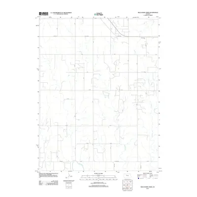
 - 1955 Map of Beloit, 1971 Print
 1955 Beloit1971 Print · USGSNorth Central Kansas in the mid-fifties shows a landscape of river-valley agriculture and expanding water infrastructure. Genealogists can trace the rail lines of the Union Pacific through towns like Nicodemus, Cawker City, and the State Sanatorium.3 unique versions available
 - 1959 Map of Beloit
 1959 Beloit1959 Print · USGSNorth Central Kansas at mid-century reveals a landscape shaped by river valleys and the expansion of massive water reservoirs. Genealogists and historians can trace the rail-town connections of Beloit and Norton or locate the site of the new Webster Dam.3 unique versions available
 - 1969 Map of Palco, 1971 Print
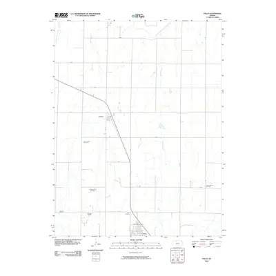
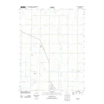
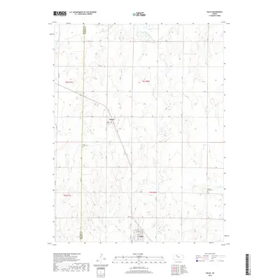
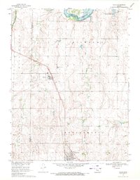 1969 Palco1971 Print · USGSRooks County agricultural and oil-producing lands are captured here in the late sixties, centered on the Union Pacific rail line. Genealogists and local historians can locate St Joseph Cem and Palco Cem, or trace the development of the Gra-Rook North Oil Field.
 - 1979 Map of Wild Horse Creek
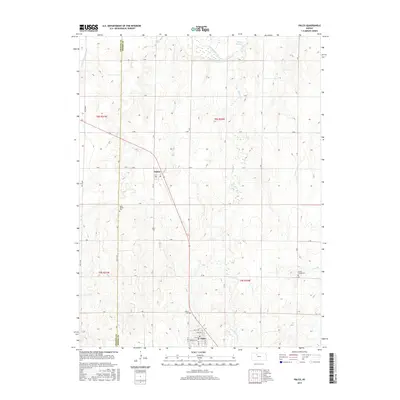
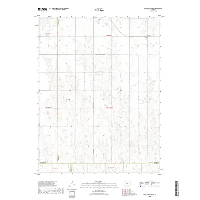
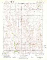 1979 Wild Horse Creek1979 Print · USGSIn the late 1970s, this Rooks County landscape was a hub of energy production and rail transport. Genealogists and historians can trace the community structures of Palco and find landmarks like Pleasantview Cem and the Marcotte Oil Field.2 unique versions available
 - 1985 Map of Plainville
 1985 Plainville1985 Print · USGSNorthwestern Kansas in the mid-eighties reveals a landscape shaped by the Solomon River and the expansion of energy production. Researchers can trace the Union Pacific rail line and locate key sites like the historic settlement of Nicodemus, Webster Reservoir, and numerous oil fields.2 unique versions available
 - 2009 Map of Wild Horse Creek, 2009 Print
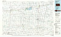
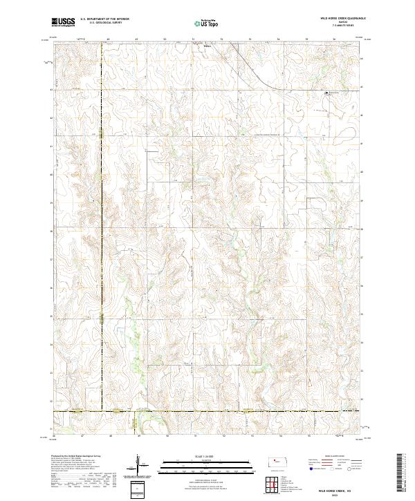
 2009 Wild Horse Creek2009 Print · USGSCovers Palco, including Ellis County, Trego County, and other nearby areas
 - 2009 Map of Palco, 2009 Print
 2009 Palco2009 Print · USGSCovers Palco, including Damar, Rooks County, and other nearby areas
 - 2012 Map of Wild Horse Creek, 2012 Print
 2012 Wild Horse Creek2012 Print · USGSCovers Palco, including Ellis County, Trego County, and other nearby areas
 - 2012 Map of Palco, 2012 Print
 2012 Palco2012 Print · USGSCovers Palco, including Damar, Rooks County, and other nearby areas
 - 2015 Map of Palco, 2015 Print
 2015 Palco2015 Print · USGSCovers Palco, including Damar, Rooks County, and other nearby areas
 - 2016 Map of Wild Horse Creek, 2016 Print
 2016 Wild Horse Creek2016 Print · USGSCovers Palco, including Ellis County, Trego County, and other nearby areas
 - 2018 Map of Palco, 2018 Print
 2018 Palco2018 Print · USGSCovers Palco, including Damar, Rooks County, and other nearby areas
 - 2018 Map of Wild Horse Creek, 2018 Print
 2018 Wild Horse Creek2018 Print · USGSCovers Palco, including Ellis County, Trego County, and other nearby areas
 - 2022 Map of Wild Horse Creek, 2022 Print
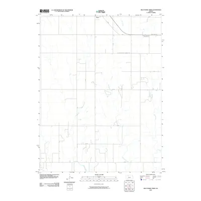
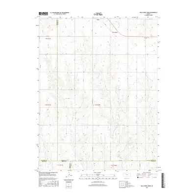
 2022 Wild Horse Creek2022 Print · USGSRooks County is captured in recent years as a landscape of structured section lines and winding prairie waterways. Genealogists can locate Pleasantview Cem while tracing the paths of Wild Horse Cr and the Saline River.
 - 2022 Map of Palco, 2022 Print
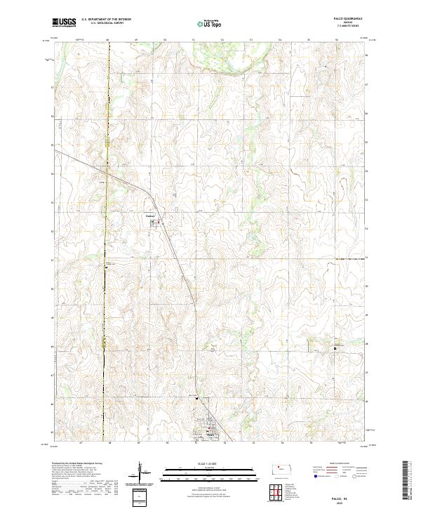 2022 Palco2022 Print · USGSRooks and Graham counties are captured in this modern survey of the Kansas plains. Family historians can locate several rural burial sites, including Saint Joseph Cem near Damar and the Green Mound Cem along the eastern road network.
End of results
Showing maps 1-16 of 16
Top cities near Palco
Frequently asked questions
- What are the different types of historical maps available for Palco?
- What is the oldest map of Palco?
- Where can I purchase historical maps of Palco for my home or office?
- Where can I download high-res historical maps of Palco?
- Are there historical topographic maps available for Palco?
- Is there historical aerial imagery available for Palco?
- Where are historical maps of Palco sourced from?