Old Maps of Brookville, Kansas for Academic Research
Study the evolution of Brookville with 12 high-resolution historic maps. Whether you're teaching, researching, or modeling changes in land use, these maps provide essential visual documentation of urban, environmental, and geographic change.
- Analyze long-term change: Track patterns in development, transportation, and natural features.
- Ideal for environmental or urban studies: Support academic projects with primary historical map data.
- Use in the classroom or lab: Educators and researchers rely on these maps to bring historical context to life.
These maps are a powerful tool for teaching, research, and visualizing how Brookville has changed over the decades.
Brookville, KS maps
(12)- 1892 Map of Salina
 1892 Salina1892 Print · USGSCentral Kansas at the close of the nineteenth century centers on the booming rail junctions and river valleys of the Smoky Hill region. Genealogists can trace family footprints in riverside settlements like Lindsborg and Assaria or the rail stops of Bavaria and Terra Cotta.6 unique versions available
 - 1942 Map of Salina
 1942 Salina1942 Print · USGSCentral Kansas during the early 1940s reveals a landscape transitioning between its deep agricultural roots and a massive new wartime footing. Researchers can trace the development of the Military Reservation and locate small rail-side settlements like Terra Cotta and Smolan.
 - 1955 Map of Brookville, 1956 Print
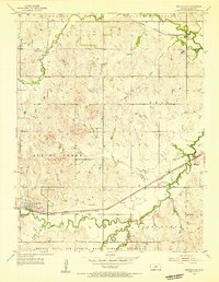 1955 Brookville1956 Print · USGSMid-century Saline County is defined here by the meeting of the Union Pacific and Atchison Topeka and Santa Fe railroads. Researchers can trace the development of Brookville and Bavaria or locate the boundaries of the Smoky Hill Air Force Base Bombing Range.3 unique versions available
 - 1955 Map of Hutchinson, 1967 Print
 1955 Hutchinson1967 Print · USGSCentral Kansas in the mid-sixties reveals a landscape of growing reservoirs and evolving transportation corridors. Trace the development of towns like Hutchinson and Abilene alongside the Union Pacific Railroad and the expanding Interstate 70.3 unique versions available
 - 1959 Map of Hutchinson
 1959 Hutchinson1959 Print · USGSCentral Kansas thrives at the intersection of rail and river in the mid-1950s, as post-war aviation infrastructure reshapes the prairie. Genealogists and historians can trace the paths of the AT&SF RR through Newton and Hutchinson, or locate military sites like Smoky Hill Air Force Base.2 unique versions available
 - 1985 Map of Salina
 1985 Salina1985 Print · USGSCentral Kansas in the mid-1980s reveals a landscape defined by river confluences and a dense rail network. Genealogists and historians can trace established communities like Salina and Lindsborg, alongside landmarks like Bethany College and Kanopolis Lake.
 - 1990 Map of Salina
 1990 Salina1990 Print · USGSThe Smoky Hill River valley thrived in the late twentieth century as a vital crossroads of Kansas industry and education. Genealogists can trace family roots through the detailed plots of Elmwood Cem and Mt Calvary Cem or locate the historic campus of Bethany College.
 - 2009 Map of Brookville, 2009 Print
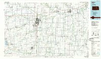
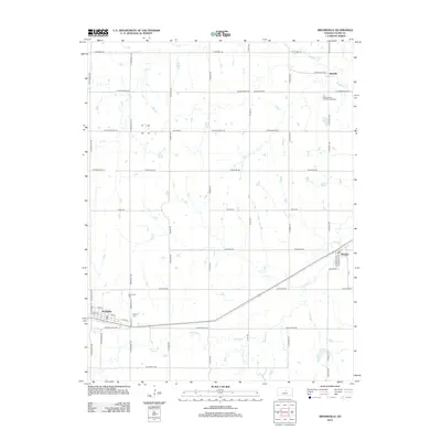
 2009 Brookville2009 Print · USGSCovers Brookville, including Bavaria, Hedville, and other nearby areas
 - 2012 Map of Brookville, 2012 Print
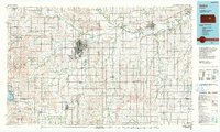
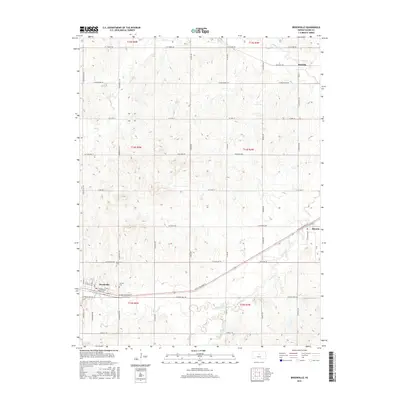
 2012 Brookville2012 Print · USGSCovers Brookville, including Bavaria, Hedville, and other nearby areas
 - 2015 Map of Brookville, 2015 Print
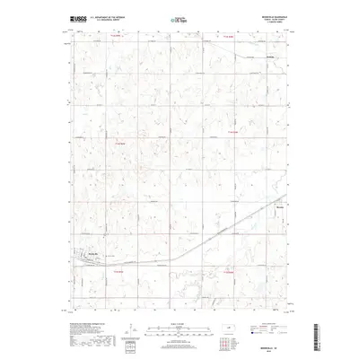
 2015 Brookville2015 Print · USGSCovers Brookville, including Bavaria, Hedville, and other nearby areas
 - 2018 Map of Brookville, 2018 Print
 2018 Brookville2018 Print · USGSCovers Brookville, including Bavaria, Hedville, and other nearby areas
 - 2022 Map of Brookville, 2022 Print
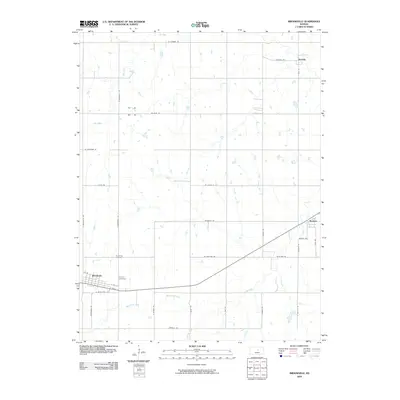
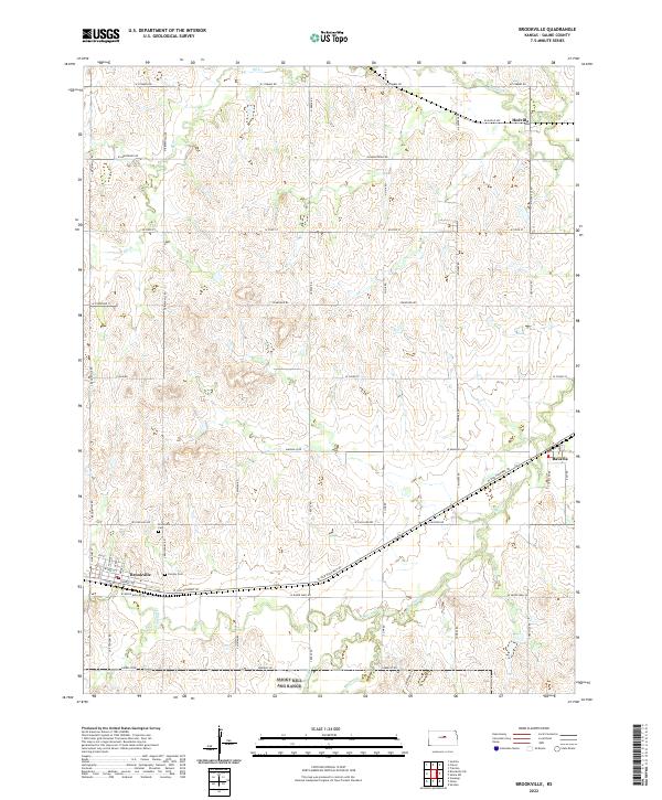 2022 Brookville2022 Print · USGSWestern Saline County appears here in the early twenty-first century, centered on the historic cattle town of Brookville. Genealogists and local historians can trace the positions of Brookville Cem and Calvary Cem, or follow the routes connecting Hedville and Bavaria.
End of results
Showing maps 1-12 of 12
Top cities near Brookville
- Salina historical maps
- Lindsborg historical maps
- Marquette historical maps
- Falun historical maps
- Smolan historical maps
- Culver historical maps
See more
Frequently asked questions
- What are the different types of historical maps available for Brookville?
- What is the oldest map of Brookville?
- Where can I purchase historical maps of Brookville for my home or office?
- Where can I download high-res historical maps of Brookville?
- Are there historical topographic maps available for Brookville?
- Is there historical aerial imagery available for Brookville?
- Where are historical maps of Brookville sourced from?