2000s (21st Century) Maps of Scott City, Kansas
Explore 10 historic maps of Scott City from the 2000s (21st Century). These maps offer a rare glimpse into what life looked like during the 2000s — showing old roads, neighborhoods, homes, and landmarks that have changed or disappeared over time.
Whether you're researching your family's past, planning a metal detecting trip, or studying how Scott City's landscape evolved across the 2000s, these high-resolution maps are a powerful tool for exploring the history of this region.
- Focus on a specific era: All maps on this page are from the 2000s, giving you a focused view of this time period.
- See what’s changed: Compare century-old streets, trails, and buildings to today's modern landscape using overlays and satellite layers.
- Research with precision: Use these maps for genealogy, historical research, land use analysis, or educational projects.
- View, download, or print: Maps are fully viewable online in high resolution, and can be downloaded or printed for your own records.
Start exploring Scott City's history through authentic maps from the 2000s. This is your window into the past.
Scott City, KS maps
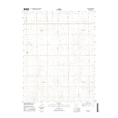
(10)- 2009 Map of Tractor, 2009 Print
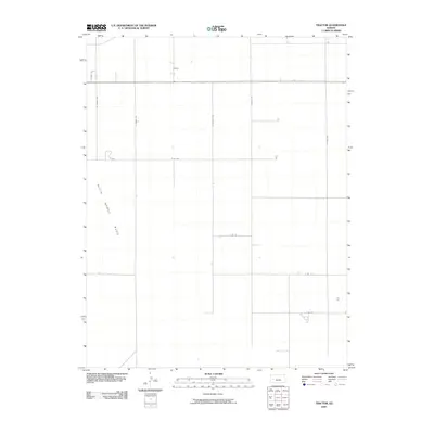 2009 Tractor2009 Print · USGSCovers Scott City, including Scott County, United States, and other nearby areas
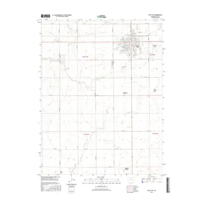
 - 2009 Map of Scott City, 2009 Print
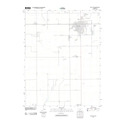 2009 Scott City2009 Print · USGSCovers Scott City, including Hutchins, Scott County, and other nearby areas
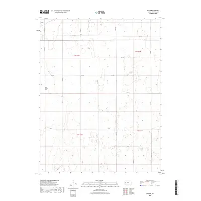
 - 2012 Map of Tractor, 2012 Print
 2012 Tractor2012 Print · USGSCovers Scott City, including Scott County, United States, and other nearby areas
 - 2012 Map of Scott City, 2012 Print
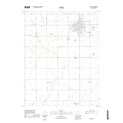
 2012 Scott City2012 Print · USGSCovers Scott City, including Hutchins, Scott County, and other nearby areas
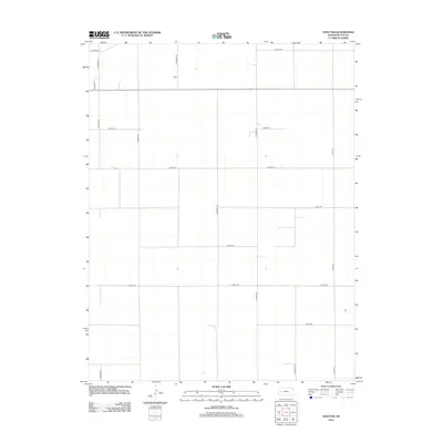
 - 2015 Map of Tractor, 2015 Print
 2015 Tractor2015 Print · USGSCovers Scott City, including Scott County, United States, and other nearby areas
 - 2015 Map of Scott City, 2015 Print
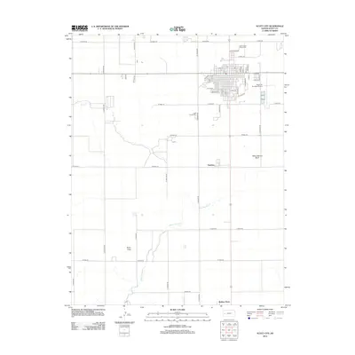
 2015 Scott City2015 Print · USGSCovers Scott City, including Hutchins, Scott County, and other nearby areas
 - 2018 Map of Scott City, 2018 Print
 2018 Scott City2018 Print · USGSCovers Scott City, including Hutchins, Scott County, and other nearby areas
 - 2018 Map of Tractor, 2018 Print
 2018 Tractor2018 Print · USGSCovers Scott City, including Scott County, United States, and other nearby areas
 - 2022 Map of Tractor, 2022 Print
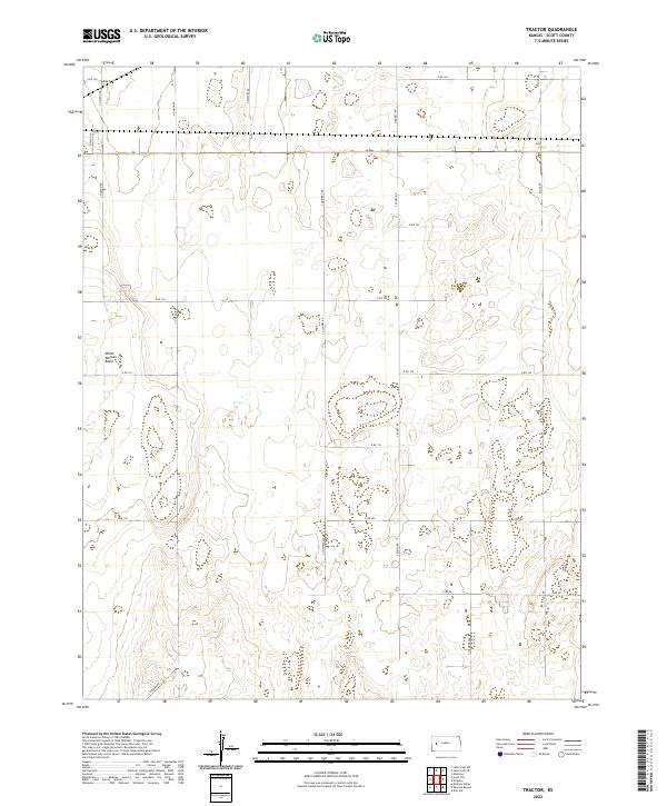 2022 Tractor2022 Print · USGSWestern Kansas at the start of the 2020s is defined by its vast agricultural grid and unique natural depressions. Map collectors and researchers can trace the organized section lines along N Navaho Rd and investigate the distinctive terrain of White Woman Basin.
 - 2022 Map of Scott City, 2022 Print
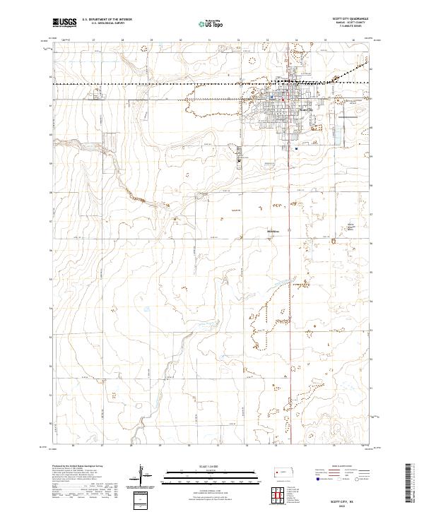 2022 Scott City2022 Print · USGSScott City and its surrounding High Plains landscape are captured here in the early twenty-first century. Researchers can trace local genealogy and land use at the Scott County Cem or follow the path of White Woman Cr through the southern basin.
End of results
Showing maps 1-10 of 10
Frequently asked questions
- What are the different types of historical maps available for Scott City?
- What is the oldest map of Scott City?
- Where can I purchase historical maps of Scott City for my home or office?
- Where can I download high-res historical maps of Scott City?
- Are there historical topographic maps available for Scott City?
- Is there historical aerial imagery available for Scott City?
- Where are historical maps of Scott City sourced from?