Old Maps of Scott City, Kansas for Genealogy
Trace your family roots with 17 historic maps of Scott City. These high-res maps reveal old neighborhoods, homesites, landmarks, and streets — helping you uncover where your ancestors lived and how the area evolved over time.
- Explore historic neighborhoods: Identify where your relatives may have lived in the 1800s or 1900s.
- Compare maps over time: Trace the changes in streets, buildings, and landmarks for multi-generational research.
- Perfect for genealogy & ancestry research: Used by family historians and researchers to map out lineage and migration.
These maps are an incredible resource for exploring your personal connection to Scott City's past.
Scott City, KS maps
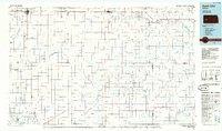
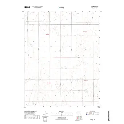
(17)- 1940 Map of Scott City
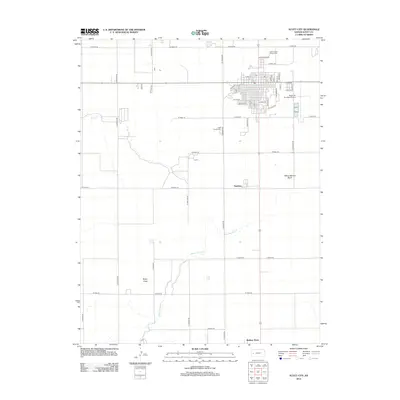
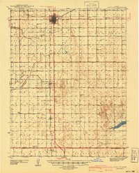 1940 Scott City1940 Print · USGSWestern Kansas agriculture and early energy development intersect in the late 1930s. Genealogists can trace rural school districts like Buffalo Sch and Lone Valley Sch or locate ancestors in the Scott City Cem.
 - 1951 Map of Scott City, 1952 Print
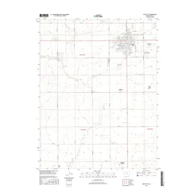
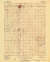 1951 Scott City1952 Print · USGSScott County at mid-century was a landscape of rail-driven commerce and emerging energy production. Genealogists can trace rural family roots through landmarks like Kingdom Hall Ch, the Scott City Cem, and several country schools including Hines Sch and Mt Hope Sch.
 - 1955 Map of Scott City, 1969 Print
 1955 Scott City1969 Print · USGSWestern Kansas in the mid-fifties is captured here as a landscape of rural schoolhouses and significant rail corridors. Family historians can trace the locations of Skyline and Beaver Creek Schools or follow the Union Pacific line through Oakley and Sharon Springs.4 unique versions available
 - 1958 Map of Scott City
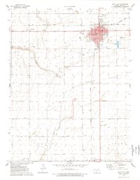
 1958 Scott City1958 Print · USGSWestern Kansas at the peak of the post-war era reveals a landscape of high-plains agriculture and vital rail junctions. Genealogists and historians can trace old country school sites like Prairie Bell School, the landmark Chalk Pyramids, and small stops along the Union Pacific and Missouri Pacific.
 - 1976 Map of Scott City, 1978 Print
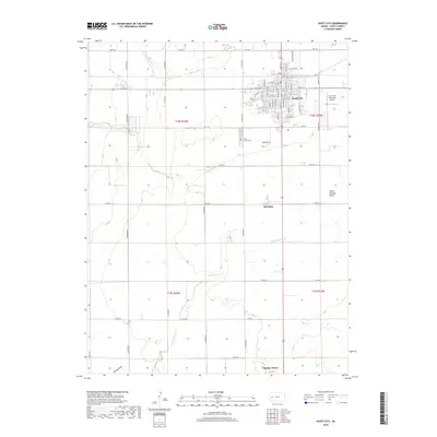
 1976 Scott City1978 Print · USGSScott City was a thriving rail and agricultural center in the mid-1970s, where two major lines met on the High Plains. Genealogists and local historians can trace civic life through the Courthouse and St Joseph Sch, or locate rural landmarks like Shallow Water and the Scott City Cem.
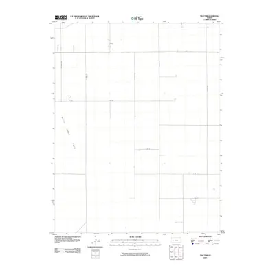
 - 1978 Map of Tractor
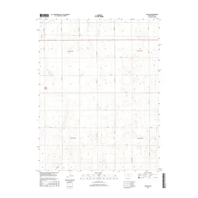
 1978 Tractor1978 Print · USGSRailroad lines and prairie basins defined this Scott County landscape in the late seventies. Genealogists and historians can trace the intersection of the Atchison Topeka and Santa Fe near Tractor or locate industrial sites like the White Woman Basin oil and gas wells.
 - 1985 Map of Scott City
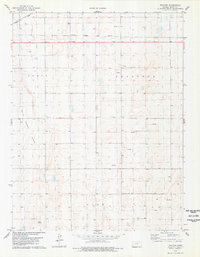
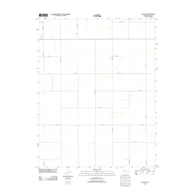
 1985 Scott City1985 Print · USGSWestern Kansas in the mid-eighties shows a landscape of rail-linked grain towns and emerging energy fields. Genealogists and researchers can trace the Atchison Topeka and Santa Fe line through Alamota and Beeler, or locate family sites near White Woman Bottoms and Walnut Creek.2 unique versions available
 - 2009 Map of Tractor, 2009 Print
 2009 Tractor2009 Print · USGSCovers Scott City, including Scott County, United States, and other nearby areas
 - 2009 Map of Scott City, 2009 Print
 2009 Scott City2009 Print · USGSCovers Scott City, including Hutchins, Scott County, and other nearby areas
 - 2012 Map of Tractor, 2012 Print
 2012 Tractor2012 Print · USGSCovers Scott City, including Scott County, United States, and other nearby areas
 - 2012 Map of Scott City, 2012 Print
 2012 Scott City2012 Print · USGSCovers Scott City, including Hutchins, Scott County, and other nearby areas
 - 2015 Map of Tractor, 2015 Print
 2015 Tractor2015 Print · USGSCovers Scott City, including Scott County, United States, and other nearby areas
 - 2015 Map of Scott City, 2015 Print
 2015 Scott City2015 Print · USGSCovers Scott City, including Hutchins, Scott County, and other nearby areas
 - 2018 Map of Scott City, 2018 Print
 2018 Scott City2018 Print · USGSCovers Scott City, including Hutchins, Scott County, and other nearby areas
 - 2018 Map of Tractor, 2018 Print
 2018 Tractor2018 Print · USGSCovers Scott City, including Scott County, United States, and other nearby areas
 - 2022 Map of Tractor, 2022 Print
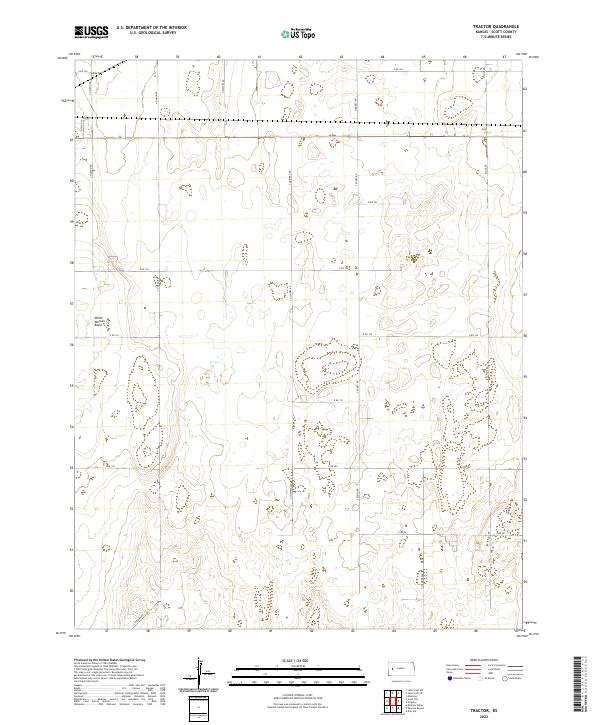 2022 Tractor2022 Print · USGSWestern Kansas at the start of the 2020s is defined by its vast agricultural grid and unique natural depressions. Map collectors and researchers can trace the organized section lines along N Navaho Rd and investigate the distinctive terrain of White Woman Basin.
 - 2022 Map of Scott City, 2022 Print
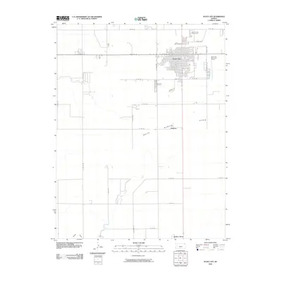
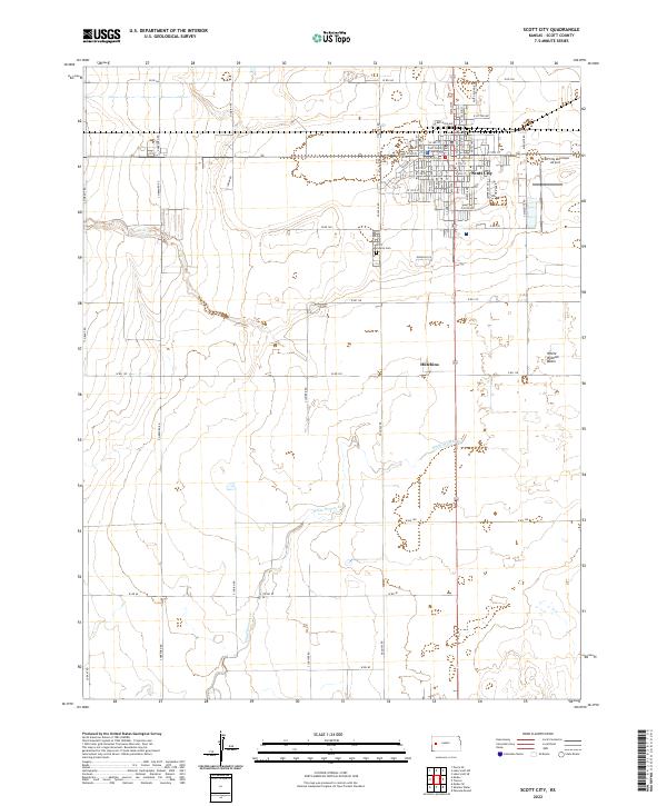 2022 Scott City2022 Print · USGSScott City and its surrounding High Plains landscape are captured here in the early twenty-first century. Researchers can trace local genealogy and land use at the Scott County Cem or follow the path of White Woman Cr through the southern basin.
End of results
Showing maps 1-17 of 17
Frequently asked questions
- What are the different types of historical maps available for Scott City?
- What is the oldest map of Scott City?
- Where can I purchase historical maps of Scott City for my home or office?
- Where can I download high-res historical maps of Scott City?
- Are there historical topographic maps available for Scott City?
- Is there historical aerial imagery available for Scott City?
- Where are historical maps of Scott City sourced from?