Old Maps of Haysville, Kansas
Explore 22 old maps of Haysville, spanning from 1889 to today. These high-resolution historic maps reveal how streets, neighborhoods, landmarks, and natural features evolved over time — perfect for genealogy, metal detecting, research, and local history exploration.
What you can do with these maps:
- See how Haysville changed over time: Compare historical maps to modern-day views to trace roads, homesites, rail lines & more.
- View detailed metadata: Each map includes creators, publishers, year, scale, and archive source.
- Overlay maps with satellite & LiDAR: Visualize the past alongside modern tools to explore terrain & human change.
- Trusted historical sources: Maps sourced from the USGS, Library of Congress, and other archives.
- Access maps your way: View online, download high-res files, or order prints for personal or research use.
Start exploring old maps of Haysville to uncover forgotten places, hidden landmarks, and the deep history beneath your feet.
Haysville, KS maps
(22)- 1889 Map of Wichita
 1889 Wichita1889 Print · USGSWichita and its surrounding townships thrived as a rail-driven boomtown in the late nineteenth century. Genealogists can trace family footprints through early settlements like Oatville, Valley Center, and Douglass along the Arkansas River.
 - 1894 Map of Wichita
 1894 Wichita1894 Print · USGSWichita and the surrounding prairie are captured here during the height of the Victorian era's railroad boom. Genealogists and historians can trace the early development of Wichita and find vanished stations and rural townships like Indianola, Oatville, and Green Station.5 unique versions available
 - 1943 Map of Derby
 1943 Derby1943 Print · USGSSouthern Sedgwick County in the early 1940s is a landscape of river-valley farms and essential rail corridors just before the region's rapid growth. Researchers can locate original sites for Old Waco, Derby, and numerous rural schools like Blood Sch.2 unique versions available
 - 1943 Map of Bayneville
 1943 Bayneville1943 Print · USGSSedgwick County farming townships are caught here in the early 1940s, showing a landscape defined by crossing rail lines and small-town junctions. Genealogists can trace family roots through numerous local schools like Richmond Hill Sch and Pleasant Plains Sch, or the rural community around Bayneville.3 unique versions available
 - 1950 Map of Bayneville, 1952 Print
 1950 Bayneville1952 Print · USGSMid-century Sedgwick County shows a traditional prairie landscape of townships and rail-stop towns before the suburban expansion of nearby cities. Genealogists and historians can trace family roots at Greenwood Cem or locate the site of the Richmond Hill Sch.2 unique versions available
 - 1955 Map of Wichita, 1959 Print
 1955 Wichita1959 Print · USGSSouth-central Kansas comes alive in the mid-1950s as Wichita grows into its role as a regional industrial and military powerhouse. Trace the rail-and-river network connecting El Dorado and Arkansas City through the Atchison Topeka and Santa Fe lines.3 unique versions available
 - 1956 Map of Derby, 1957 Print
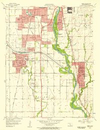 1956 Derby1957 Print · USGSSouth of Wichita in the mid-fifties, this area shows the rapid suburbanization of Sedgwick County alongside major aviation and transit projects. Trace the early layouts of Haysville and Derby or locate mid-century landmarks like the Drive-in Theater and Mc Connell Air Force Base.
 - 1958 Map of Wichita
 1958 Wichita1958 Print · USGSSouth Central Kansas in the late fifties was a landscape of aviation industry, oil exploration, and expanding turnpikes. Researchers can trace mid-century growth through McConnell Air Force Base, major facilities for Cessna Aircraft Company, and the active El Dorado Oil Field.
 - 1960 Map of Derby, 1961 Print
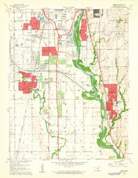 1960 Derby1961 Print · USGSThe Arkansas River valley south of Wichita appears here in the early sixties as suburban growth begins to overtake rural townships. Researchers can trace family roots through several local landmarks like Waco Cem, St Marys Sch, and the riverside community of Derby.4 unique versions available
 - 1961 Map of Bayneville
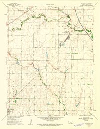 1961 Bayneville1961 Print · USGSThe Sedgwick County prairie in the early sixties shows a landscape of small agricultural towns and emerging energy infrastructure. Researchers can locate Greenwood Cem, trace the rail lines of the Missouri Pacific, and find the local Townhall and Oatville Sch.3 unique versions available
 - 1985 Map of Wichita
 1985 Wichita1985 Print · USGSThe mid-1980s landscape of the Wichita metro area is captured here during a peak era for the local aviation industry. Researchers can trace the sprawling rail network of the Santa Fe and Frisco or locate family landmarks at White Chapel Cem and Cheney Reservoir.
 - 1990 Map of Wichita
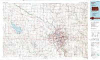 1990 Wichita1990 Print · USGSThe Wichita metropolitan area and its surrounding agricultural plains are captured in the late twentieth century, showing a landscape defined by rapid suburban expansion and massive water projects. Genealogists can locate family landmarks in small towns like Garden Plain and Clonmel, or trace the development around Cheney Reservoir and McConnell Air Force Base.
 - 2009 Map of Bayneville, 2009 Print
 2009 Bayneville2009 Print · USGSThe rural lands south of Wichita are documented here in the early 2000s, showing a landscape defined by farmstead grids and emerging residential pockets. Researchers can trace local landmarks like Greenwood Cemetery, the town of Clearwater, and small airfields including Rucker Airport.
 - 2010 Map of Derby, 2010 Print
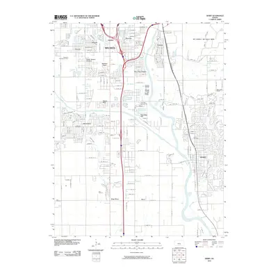 2010 Derby2010 Print · USGSThe suburbs south of Wichita come into focus in the early twenty-first century as Derby and Haysville expand. Trace local landmarks like the Waco Cemetery, the Westport Auxiliary Airport, and the grounds of Mc Connell Air Force Base.
 - 2012 Map of Bayneville, 2012 Print
 2012 Bayneville2012 Print · USGSSedgwick County south of Wichita appears here in the early twenty-first century as a landscape of grid-roads and prairie drainages. Genealogists and local historians can locate Greenwood Cem, the community of Bayneville, and landmarks like Wattles Lake.
 - 2012 Map of Derby, 2012 Print
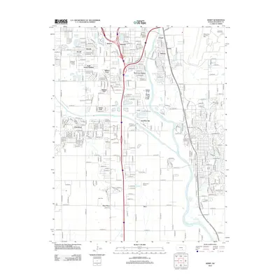 2012 Derby2012 Print · USGSWichita's southern suburbs and military outskirts are shown in detail during a period of significant regional growth. Researchers can trace the development of Haysville and Oaklawn or locate family sites at Waco Cem and El Paso Cem.
 - 2015 Map of Bayneville, 2015 Print
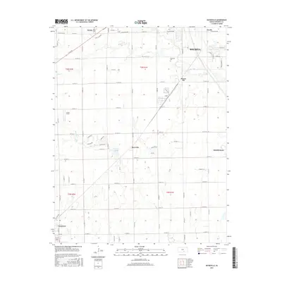 2015 Bayneville2015 Print · USGSSouth of Wichita in the mid-2010s, this area shows a mix of growing suburban tracts and traditional Kansas farmland. Researchers can trace the layout of small communities like Bayneville and Schulte, or locate family markers at Saint Peters Cemetery.
 - 2015 Map of Derby, 2015 Print
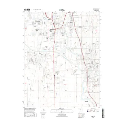 2015 Derby2015 Print · USGSSuburban expansion and aviation history converge south of Wichita during the mid-2010s. Researchers can trace established family plots at El Paso Cem or explore the infrastructure surrounding Mc Connell Air Force Base and Haysville.
 - 2018 Map of Bayneville, 2018 Print
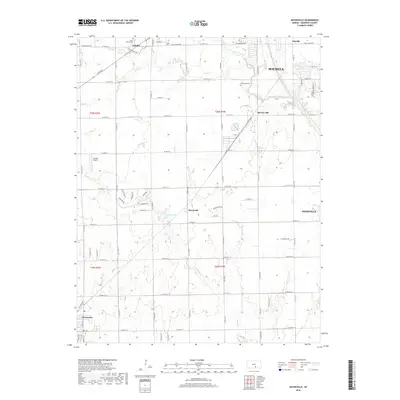 2018 Bayneville2018 Print · USGSThe Wichita periphery in the late 2010s reveals a landscape of expanding suburbs and agricultural grids. Trace local history through Schulte, Bayneville, and family sites like Saint Peters Cem and Greenwood Cem.
 - 2018 Map of Derby, 2018 Print
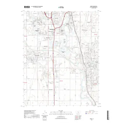 2018 Derby2018 Print · USGSThe southern Wichita suburbs and the Arkansas River valley are captured here during a period of significant residential and military development. Researchers can locate family sites and local landmarks near Mc Connell Air Force Base, Haysville, and the Waco Cem.
 - 2022 Map of Bayneville, 2022 Print
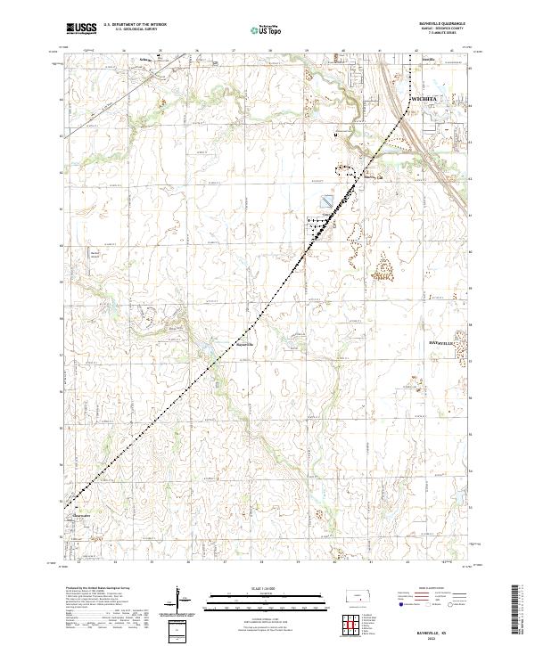 2022 Bayneville2022 Print · USGSSouth of the Wichita metro area, this mid-century landscape reveals the transition from prairie farmsteads to suburban development. Genealogists can locate family landmarks like Saint Peters Cem while tracing the rural crossroads of Bayneville and Schulte.
 - 2022 Map of Derby, 2022 Print
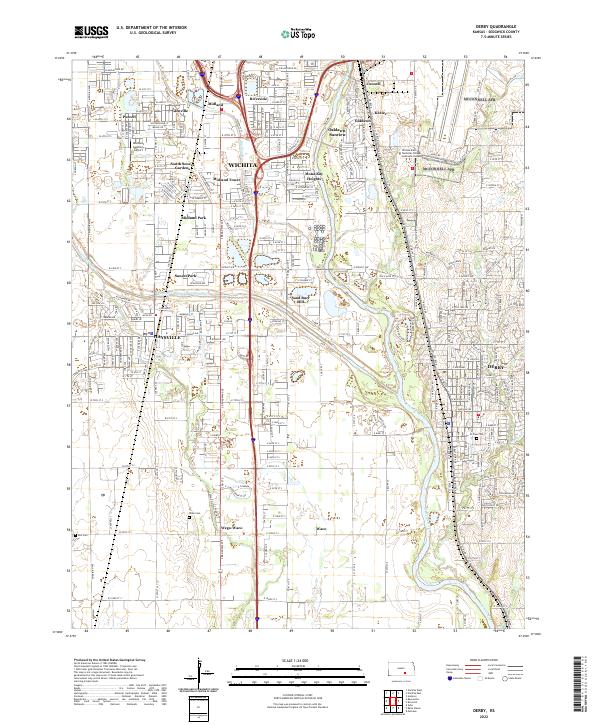 2022 Derby2022 Print · USGSThe corridor between Wichita and Derby is shown in extensive detail during its modern period of growth. Genealogists and local historians can trace family locations near Waco Cem, the old settlement of Waco, and the rail lines of the BNSF Railway.
End of results
Showing maps 1-22 of 22
Top cities near Haysville
- Wichita historical maps
- Derby historical maps
- Andover historical maps
- Park City historical maps
- Bel Aire historical maps
- Mulvane historical maps
See more
Top neighborhoods of Haysville
Frequently asked questions
- What are the different types of historical maps available for Haysville?
- What is the oldest map of Haysville?
- Where can I purchase historical maps of Haysville for my home or office?
- Where can I download high-res historical maps of Haysville?
- Are there historical topographic maps available for Haysville?
- Is there historical aerial imagery available for Haysville?
- Where are historical maps of Haysville sourced from?