2000s (21st Century) Maps of Illinois Township, Kansas
Explore 20 historic maps of Illinois Township from the 2000s (21st Century). These maps offer a rare glimpse into what life looked like during the 2000s — showing old roads, neighborhoods, homes, and landmarks that have changed or disappeared over time.
Whether you're researching your family's past, planning a metal detecting trip, or studying how Illinois Township's landscape evolved across the 2000s, these high-resolution maps are a powerful tool for exploring the history of this region.
- Focus on a specific era: All maps on this page are from the 2000s, giving you a focused view of this time period.
- See what’s changed: Compare century-old streets, trails, and buildings to today's modern landscape using overlays and satellite layers.
- Research with precision: Use these maps for genealogy, historical research, land use analysis, or educational projects.
- View, download, or print: Maps are fully viewable online in high resolution, and can be downloaded or printed for your own records.
Start exploring Illinois Township's history through authentic maps from the 2000s. This is your window into the past.
Illinois Township, KS maps
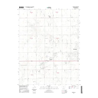
(20)- 2009 Map of Bayneville, 2009 Print
 2009 Bayneville2009 Print · USGSCovers Illinois Township, including Wichita, Haysville, and other nearby areas
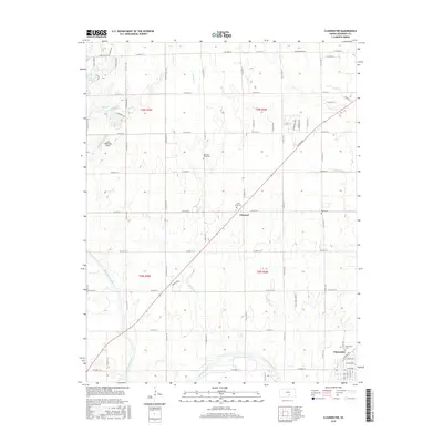
 - 2009 Map of Clearwater, 2009 Print
 2009 Clearwater2009 Print · USGSCovers Illinois Township, including Clearwater, Clonmel, and other nearby areas
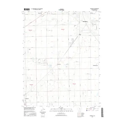
 - 2009 Map of Goddard, 2009 Print
 2009 Goddard2009 Print · USGSCovers Illinois Township, including Wichita, Goddard, and other nearby areas
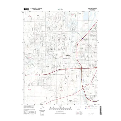
 - 2010 Map of Wichita West, 2010 Print
 2010 Wichita West2010 Print · USGSCovers Illinois Township, including Wichita, Maize, and other nearby areas
 - 2012 Map of Clearwater, 2012 Print
 2012 Clearwater2012 Print · USGSCovers Illinois Township, including Clearwater, Clonmel, and other nearby areas
 - 2012 Map of Bayneville, 2012 Print
 2012 Bayneville2012 Print · USGSCovers Illinois Township, including Wichita, Haysville, and other nearby areas
 - 2012 Map of Goddard, 2012 Print
 2012 Goddard2012 Print · USGSCovers Illinois Township, including Wichita, Goddard, and other nearby areas
 - 2012 Map of Wichita West, 2012 Print
 2012 Wichita West2012 Print · USGSCovers Illinois Township, including Wichita, Maize, and other nearby areas
 - 2015 Map of Goddard, 2015 Print
 2015 Goddard2015 Print · USGSCovers Illinois Township, including Wichita, Goddard, and other nearby areas
 - 2015 Map of Bayneville, 2015 Print
 2015 Bayneville2015 Print · USGSCovers Illinois Township, including Wichita, Haysville, and other nearby areas
 - 2015 Map of Wichita West, 2015 Print
 2015 Wichita West2015 Print · USGSCovers Illinois Township, including Wichita, Maize, and other nearby areas
 - 2015 Map of Clearwater, 2015 Print
 2015 Clearwater2015 Print · USGSCovers Illinois Township, including Clearwater, Clonmel, and other nearby areas
 - 2018 Map of Wichita West, 2018 Print
 2018 Wichita West2018 Print · USGSCovers Illinois Township, including Wichita, Maize, and other nearby areas
 - 2018 Map of Goddard, 2018 Print
 2018 Goddard2018 Print · USGSCovers Illinois Township, including Wichita, Goddard, and other nearby areas
 - 2018 Map of Bayneville, 2018 Print
 2018 Bayneville2018 Print · USGSCovers Illinois Township, including Wichita, Haysville, and other nearby areas
 - 2018 Map of Clearwater, 2018 Print
 2018 Clearwater2018 Print · USGSCovers Illinois Township, including Clearwater, Clonmel, and other nearby areas
 - 2022 Map of Bayneville, 2022 Print
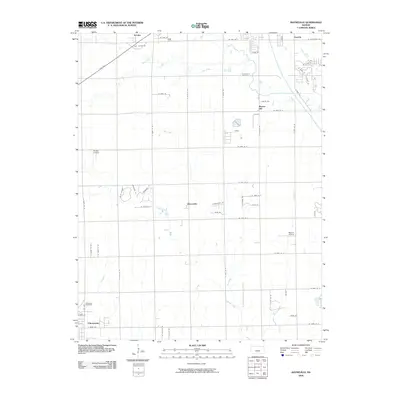
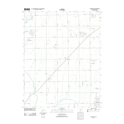
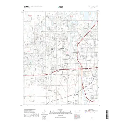
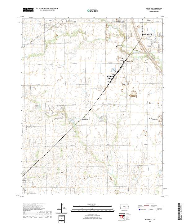 2022 Bayneville2022 Print · USGSSouth of the Wichita metro area, this mid-century landscape reveals the transition from prairie farmsteads to suburban development. Genealogists can locate family landmarks like Saint Peters Cem while tracing the rural crossroads of Bayneville and Schulte.
 - 2022 Map of Clearwater, 2022 Print
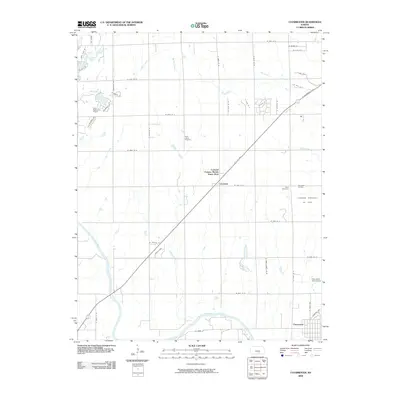
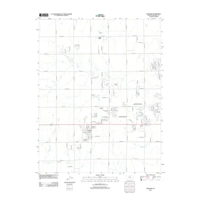
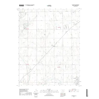
 2022 Clearwater2022 Print · USGSThe Ninnescah River valley and the town of Clearwater are captured in this modern survey of Sedgwick County. Family historians can trace local landmarks like Old Saint Johns Cem and the settlement at Clonmel.
 - 2022 Map of Goddard, 2022 Print
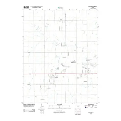
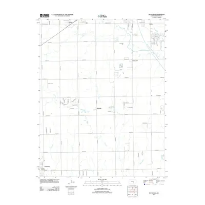
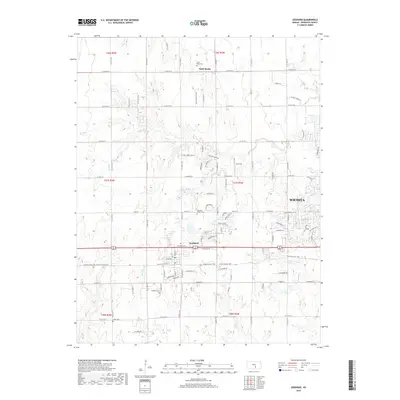
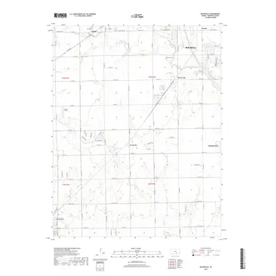
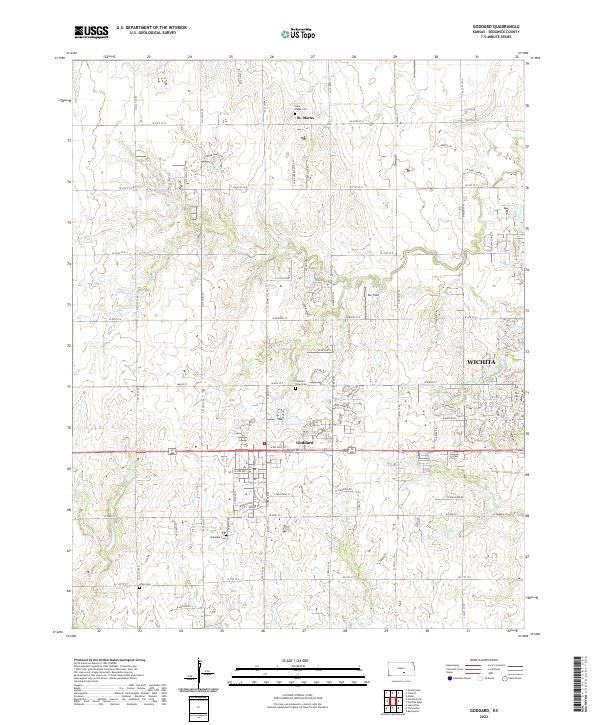 2022 Goddard2022 Print · USGSWestern Sedgwick County and the outskirts of Wichita are documented here in the early twenty-first century as suburban growth meets rural traditions. Researchers can trace local heritage through several historic cemeteries like Saint Marks Cem and the small settlement of St. Marks.
 - 2023 Map of Wichita West, 2023 Print
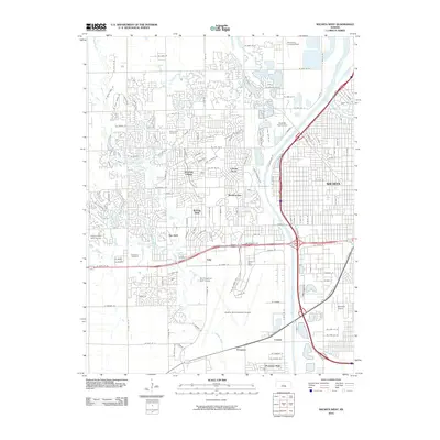
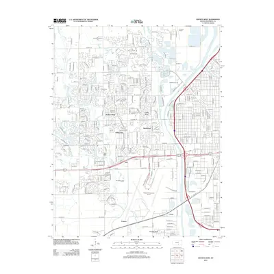
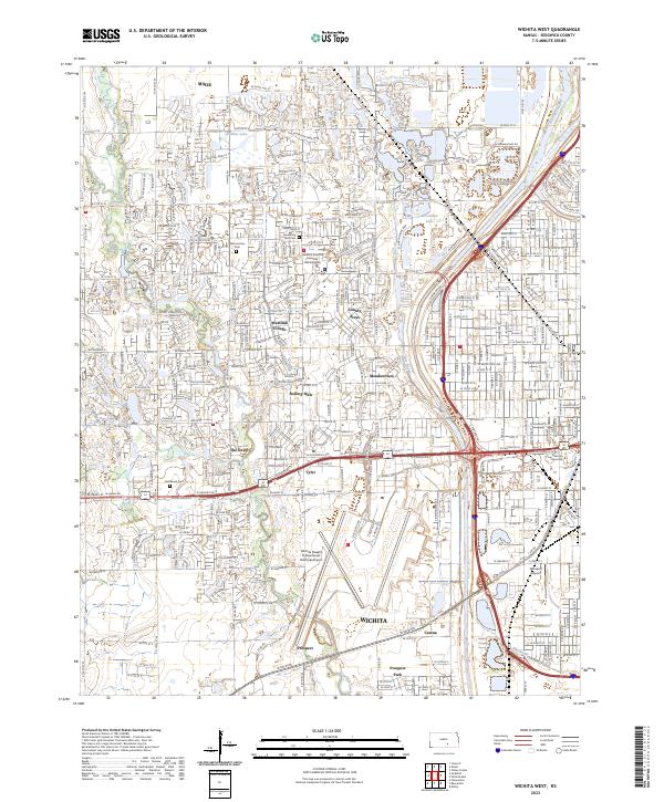 2023 Wichita West2023 Print · USGSWestern Wichita and the surrounding suburban reaches are captured here in the early 2020s as residential growth meets major aviation hubs. Genealogists and local historians can trace developments like Westlink Village or locate family sites near Resthaven Cem and the Arkansas River.
End of results
Showing maps 1-20 of 20
Top cities near Illinois Township
- Wichita historical maps
- Haysville historical maps
- Park City historical maps
- Valley Center historical maps
- Goddard historical maps
- Maize historical maps
See more
Top neighborhoods of Illinois Township
Frequently asked questions
- What are the different types of historical maps available for Illinois Township?
- What is the oldest map of Illinois Township?
- Where can I purchase historical maps of Illinois Township for my home or office?
- Where can I download high-res historical maps of Illinois Township?
- Are there historical topographic maps available for Illinois Township?
- Is there historical aerial imagery available for Illinois Township?
- Where are historical maps of Illinois Township sourced from?