Old Maps of Liberal, Kansas for Metal Detecting
Plan your next treasure hunt with 10 historic maps of Liberal. Find old homesites, ghost towns, trails, and gathering spots that may be lost to time — perfect for identifying promising metal detecting locations.
- Locate forgotten sites: Uncover places like long-lost settlements, abandoned rail lines, or gathering spots.
- Plan better hunts: Use map overlays combined with LiDAR or satellite views to narrow in on historically rich areas.
- Made for detectorists: Thousands of hobbyists use these maps to discover relics, coins, and hidden history.
Use these historic maps to boost your research and find new opportunities beneath the surface of Liberal.
Liberal, KS maps
(10)- 1955 Map of Dodge City, 1968 Print
 1955 Dodge City1968 Print · USGSSouthwest Kansas in the mid-fifties reveals an expansive landscape of cattle towns, early gas fields, and prairie outposts. Researchers can trace rural school districts like Moundview and Good Luck or locate the Kansas State Game Farm near Lakin.3 unique versions available
 - 1958 Map of Dodge City
 1958 Dodge City1958 Print · USGSSouthwest Kansas in the late fifties shows a landscape of river-valley agriculture and burgeoning energy infrastructure. Genealogists can trace rural life through numerous landmarks like Fairview Cemetery, the Goodwell School, and Concord Church.
 - 1959 Map of Dodge City
 1959 Dodge City1959 Print · USGSSouthwest Kansas in the mid-fifties is captured at its agricultural height, centered on the vital rail and river hubs of Dodge City and Garden City. Genealogists and local historians can trace rural school districts like Shockey School and Hickok School or locate the Fairview Cemetery.
 - 1971 Map of Liberal
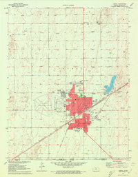 1971 Liberal1971 Print · USGSLiberal flourished as a Kansas energy and transit hub in the early seventies, where the railroad met a vast field of natural gas wells. Genealogists and historians can locate specific neighborhood landmarks like St Anthonys Sch, the Liberal Memorial Cem, and the Chicago Rock Island and Pacific rail lines.3 unique versions available
 - 1985 Map of Liberal
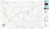 1985 Liberal1985 Print · USGSThe High Plains of Southwest Kansas and the Oklahoma panhandle come alive in the mid-eighties, centered on the growing city of Liberal. Genealogists and historians can trace the paths of the Atchison Topeka and Santa Fe through settlements like Kismet and Arkalon.2 unique versions available
 - 2010 Map of Liberal, 2010 Print
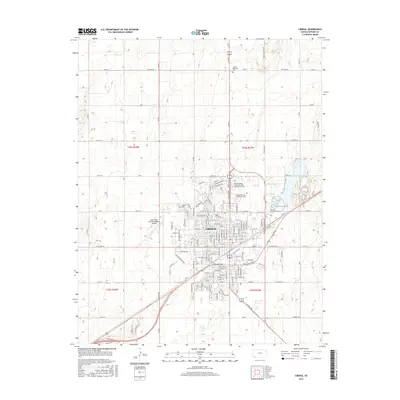
 2010 Liberal2010 Print · USGSCovers Liberal, including Seward County, United States, and other nearby areas
 - 2012 Map of Liberal, 2012 Print
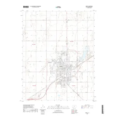
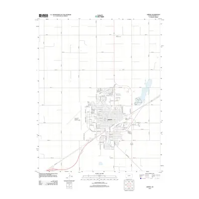 2012 Liberal2012 Print · USGSCovers Liberal, including Seward County, United States, and other nearby areas
 - 2016 Map of Liberal, 2016 Print
 2016 Liberal2016 Print · USGSCovers Liberal, including Seward County, United States, and other nearby areas
 - 2018 Map of Liberal, 2018 Print
 2018 Liberal2018 Print · USGSCovers Liberal, including Seward County, United States, and other nearby areas
 - 2022 Map of Liberal, 2022 Print
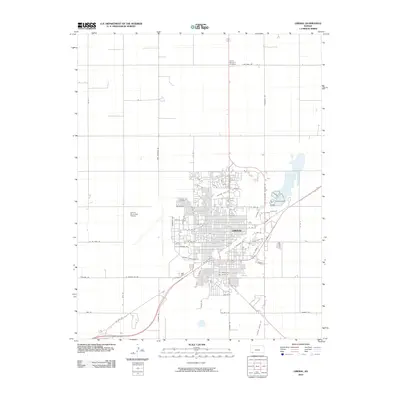
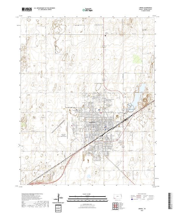 2022 Liberal2022 Print · USGSLiberal and the surrounding Seward County plains are captured in this recent survey of southwest Kansas. Local researchers can trace modern civic infrastructure and residential growth through the Seward County Courthouse, Liberal Cem, and the college campuses.
End of results
Showing maps 1-10 of 10
Top cities near Liberal
Frequently asked questions
- What are the different types of historical maps available for Liberal?
- What is the oldest map of Liberal?
- Where can I purchase historical maps of Liberal for my home or office?
- Where can I download high-res historical maps of Liberal?
- Are there historical topographic maps available for Liberal?
- Is there historical aerial imagery available for Liberal?
- Where are historical maps of Liberal sourced from?