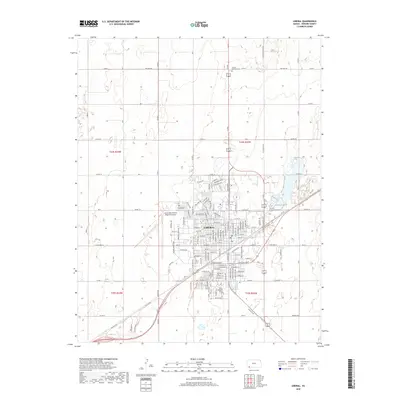
2018 Map of Liberal
USGS Topo · Published 2018About this map
Liberal serves as the primary hub of activity in Seward County, characterized by its grid of residential streets and expanding commercial corridors. The landscape is defined by its utility and transport networks, including the significant footprint of the Liberal Mid-America Regional Airport to the west. Outside the city center, the terrain is organized into large sections by a systematic grid of rural roads like Five Mile Rd and Co Rd 1 S, reflecting the region’s agricultural foundations. Genealogical interest centers on the city's established resting places, notably Liberal Memorial Cem and Liberal Cem. The transition from old thoroughfares such as Old Hwy 54 to modern frontage roads shows the evolution of Kansas transportation in this southwestern corner of the state.
Find a feature on this map
157 named features on this map. Tap any name to fly to it.
Don’t see what you’re looking for? This feature index may not catch every label — zoom into the map to look around manually.
Map Details
Editions of this 2018 Liberal Map
This is the sole edition of this map. No revisions or reprints were ever made.
Other maps of this area

1954 · Perryton
USGS Topo · 1:250,000

1955 · Dodge City
USGS Topo · 1:250,000

1958 · Perryton
USGS Topo · 1:250,000

1958 · Dodge City
USGS Topo · 1:250,000

1959 · Dodge City
USGS Topo · 1:250,000

1967 · Tyrone
USGS Topo · 1:24,000

1968 · Liberal NE
USGS Topo · 1:24,000

1968 · Liberal NW
USGS Topo · 1:24,000

1971 · Liberal
USGS Topo · 1:24,000

1971 · Hayne
USGS Topo · 1:24,000