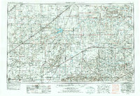
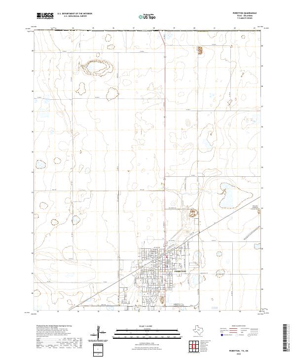
1958 Map of Perryton
USGS Topo · Published 1958About this map
The High Plains and Oklahoma Panhandle meet the Texas border in this 1954 landscape, where the Cimarron Base Line and the Chicago Rock Island and Pacific railroad define the early development of the region. This survey captures a network of small agricultural and rail hubs including Hooker, Guymon, and Beaver City, alongside less-surviving points like Libbey Station and Doolin Station. The terrain is characterized by the intricate drainage systems of the Cimarron River, North Canadian River, and Wolf Creek, which cut through the flat plains toward the Huckleberry Hills.
Find a feature on this map
90 named features on this map. Tap any name to fly to it.
Don’t see what you’re looking for? This feature index may not catch every label — zoom into the map to look around manually.
Map Details
Editions of this 1958 Perryton Map
This is the sole edition of this map. No revisions or reprints were ever made.
Historical Maps of Guymon Through Time
9 maps found