
Historical Maps of Stevens County, Kansas
What stories do these 40 old maps tell about Stevens County's past? From 1944 to present day, these maps reveal the evolution of streets, neighborhoods, iconic landmarks, and natural features in stunning high-res detail. Whether you're a history enthusiast, genealogist, or professional in education, environmental work, or architecture, these maps are perfect for exploration, research, and discovery.
Discover Stevens County's history through maps:
- Trace Stevens County's growth: Explore earlier and latest maps and editions to uncover how the region changed over time.
- Examine technical details: Each map includes its creators, publishers, scale, dimensions, and full source information.
- Layer maps with modern tools & imagery: Compare historical maps to modern-day with high-resolution satellite imagery and detailed LiDAR layers.
- Sourced from trusted archives: Carefully preserved and digitized by institutions like the United Stated Geological Survey and the US Library of Congress.
- Access in any format: View and explore in high resolution, download for offline use, or order a museum-quality print for yourself or a loved one.
Begin your journey into Stevens County's history with these remarkable must-see maps.
Stevens County, KS maps
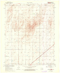
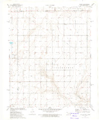
(40)- 1944 Map of Moscow
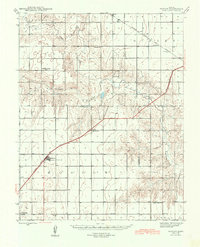 1944 Moscow1944 Print · USGSCovers Stevens County, including Moscow, Lincoln Township, and other nearby areas
 - 1945 Map of Moscow
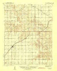 1945 Moscow1945 Print · USGSCovers Stevens County, including Moscow, Lincoln Township, and other nearby areas
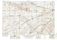
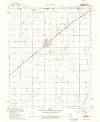
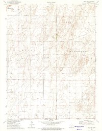
 - 1954 Map of Perryton, 1966 Print
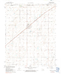
 1954 Perryton1966 Print · USGSCovers Stevens County, including Guymon, Perryton, and other nearby areas
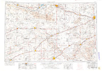
 - 1954 Map of Perryton, 1977 Print
 1954 Perryton1977 Print · USGSCovers Stevens County, including Guymon, Perryton, and other nearby areas
 - 1954 Map of Perryton, 1977 Print
 1954 Perryton1977 Print · USGSCovers Stevens County, including Guymon, Perryton, and other nearby areas
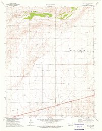
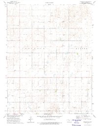
 - 1955 Map of Dodge City, 1968 Print
 1955 Dodge City1968 Print · USGSCovers Stevens County, including Garden City, Dodge City, and other nearby areas
 - 1955 Map of Dodge City, 1976 Print
 1955 Dodge City1976 Print · USGSCovers Stevens County, including Garden City, Dodge City, and other nearby areas
 - 1955 Map of Dodge City, 1976 Print
 1955 Dodge City1976 Print · USGSCovers Stevens County, including Garden City, Dodge City, and other nearby areas
 - 1958 Map of Perryton
 1958 Perryton1958 Print · USGSCovers Stevens County, including Guymon, Perryton, and other nearby areas
 - 1958 Map of Dodge City
 1958 Dodge City1958 Print · USGSCovers Stevens County, including Garden City, Dodge City, and other nearby areas
 - 1959 Map of Dodge City
 1959 Dodge City1959 Print · USGSCovers Stevens County, including Garden City, Dodge City, and other nearby areas
 - 1967 Map of Straight, 1968 Print
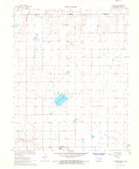 1967 Straight1968 Print · USGSCovers Stevens County, including Straight, Texas County, and other nearby areas
 - 1967 Map of Straight NE, 1968 Print
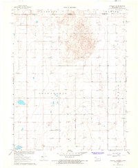 1967 Straight NE1968 Print · USGSCovers Stevens County, including Texas County, United States, and other nearby areas
 - 1967 Map of Hooker NW, 1968 Print
 1967 Hooker NW1968 Print · USGSCovers Stevens County, including Texas County, United States, and other nearby areas
 - 1967 Map of Tyrone, 1968 Print
 1967 Tyrone1968 Print · USGSCovers Stevens County, including Tyrone, Fluor, and other nearby areas
 - 1967 Map of Tyrone, 1991 Print
 1967 Tyrone1991 Print · USGSCovers Stevens County, including Tyrone, Fluor, and other nearby areas
 - 1973 Map of Rolla NE, 1975 Print
 1973 Rolla NE1975 Print · USGSCovers Stevens County, including Morton County, United States, and other nearby areas
 - 1973 Map of Hough NE, 1975 Print
 1973 Hough NE1975 Print · USGSCovers Stevens County, including Texas County, Morton County, and other nearby areas
 - 1974 Map of Rolla SE, 1975 Print
 1974 Rolla SE1975 Print · USGSCovers Stevens County, including Rolla, Morton County, and other nearby areas
 - 1974 Map of Hugoton SE, 1975 Print
 1974 Hugoton SE1975 Print · USGSCovers Stevens County, including United States, Kansas, and other nearby areas
 - 1974 Map of Hugoton, 1975 Print
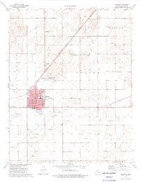 1974 Hugoton1975 Print · USGSCovers Stevens County, including Hugoton, United States, and other nearby areas
 - 1974 Map of Feterita, 1975 Print
 1974 Feterita1975 Print · USGSCovers Stevens County, including United States, Kansas, and other nearby areas
 - 1974 Map of Hugoton SW, 1975 Print
 1974 Hugoton SW1975 Print · USGSCovers Stevens County, including United States, Kansas, and other nearby areas
 - 1974 Map of Wagon Bed Spring NW, 1976 Print
 1974 Wagon Bed Spring NW1976 Print · USGSCovers Stevens County, including Lincoln Township, Sullivan Township, and other nearby areas
 - 1974 Map of Shore Airport SE, 1976 Print
 1974 Shore Airport SE1976 Print · USGSCovers Stevens County, including Morton County, United States, and other nearby areas
Showing maps 1-25 of 40
Top cities in Stevens County
Frequently asked questions
- What are the different types of historical maps available for Stevens County?
- What is the oldest map of Stevens County?
- Where can I purchase historical maps of Stevens County for my home or office?
- Where can I download high-res historical maps of Stevens County?
- Are there historical topographic maps available for Stevens County?
- Is there historical aerial imagery available for Stevens County?
- Where are historical maps of Stevens County sourced from?