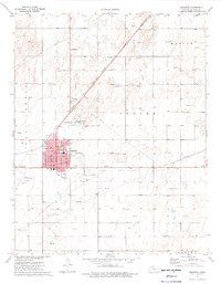
1974 Map of Hugoton
USGS Topo · Published 1975About this map
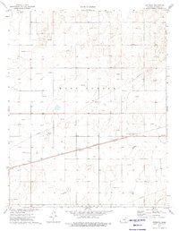
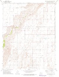
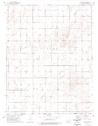
The high plains of Stevens County revolve around the hub of Hugoton, a town defined in the mid-1970s by its role in the energy and transportation sectors. The Atchison Topeka and Santa Fe railroad cuts diagonally across the landscape, paralleling a massive network of industrial infrastructure including a Compressor Station, a Powerplant, and numerous subterranean Pipelines. This survey captures the town's civic core, featuring the Po, Secondary Schs, and a Museum, while leisure and logistics are represented by a Drive-in Theater and the Hugoton Municipal Airport. The surrounding townships of West Center and Center are characterized by a dense grid of gas wells, revealing the heavy reliance on the underlying Hugoton Gas Field during this era of Kansas history.
Find a feature on this map
23 named features on this map. Tap any name to fly to it.
Don’t see what you’re looking for? This feature index may not catch every label — zoom into the map to look around manually.
Map Details
Editions of this 1974 Hugoton Map
This is the sole edition of this map. No revisions or reprints were ever made.
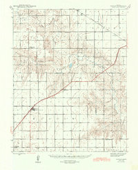
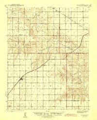
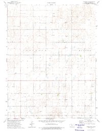
Other maps of this area
1944 · Moscow
USGS Topo · 1:62,500
1945 · Moscow
USGS Topo · 1:62,500

1955 · Dodge City
USGS Topo · 1:250,000

1958 · Dodge City
USGS Topo · 1:250,000

1959 · Dodge City
USGS Topo · 1:250,000
1974 · Hugoton SE
USGS Topo · 1:24,000
1974 · Feterita
USGS Topo · 1:24,000

1974 · Hugoton SW
USGS Topo · 1:24,000
1974 · Wagon Bed Spring SW
USGS Topo · 1:24,000
1974 · Woods SW
USGS Topo · 1:24,000