Loading...
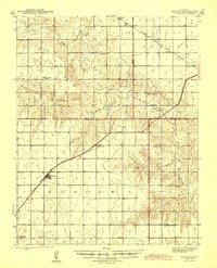
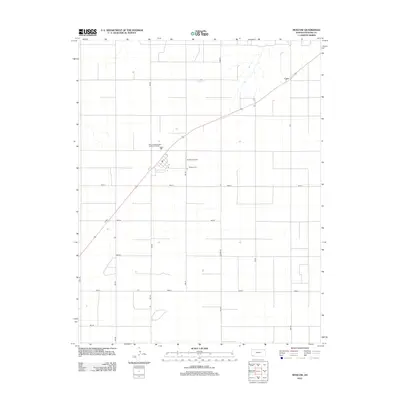
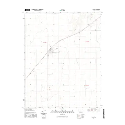
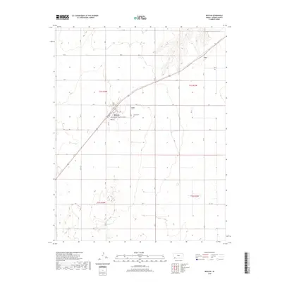
Loading map...1945 Map of Moscow
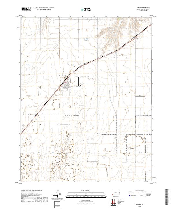
USGS Topo · Published 1945About this map
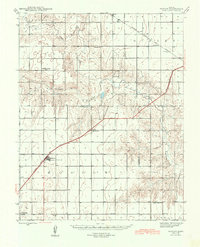
The Atchison Topeka and Santa Fe railroad cuts a diagonal path through this corner of Stevens County, serving the small agricultural hub of Moscow. This 1940s landscape is defined by the sweeping curves of the Cimarron River and its North Fork, which carve through the plains and define the various township boundaries like Sullivan and Dudley.
Find a feature on this map
22 named features on this map. Tap any name to fly to it.
Don’t see what you’re looking for? This feature index may not catch every label — zoom into the map to look around manually.
Map Details
Date Portrayed1945
Date Published1945
PublisherU.S. Geological Survey
Map TypeTopographic
Scale1:62,500
Physical Dimensions16.71 x 20.6 inches
Editions of this 1945 Moscow Map
This is the sole edition of this map. No revisions or reprints were ever made.
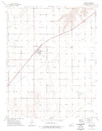
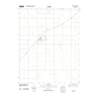
Historical Maps of Moscow Through Time
8 maps found
Featured Locations
Source Details
SourceU.S. Geological Survey
CopyrightPublic Domain