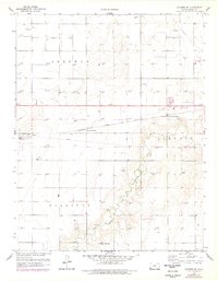
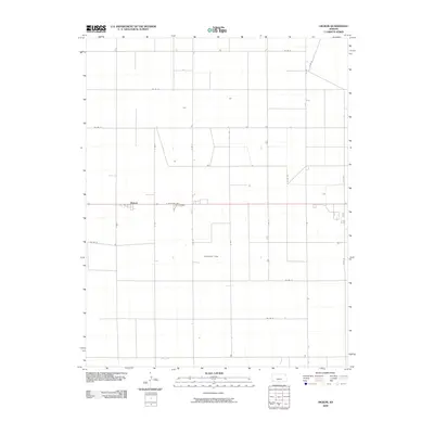
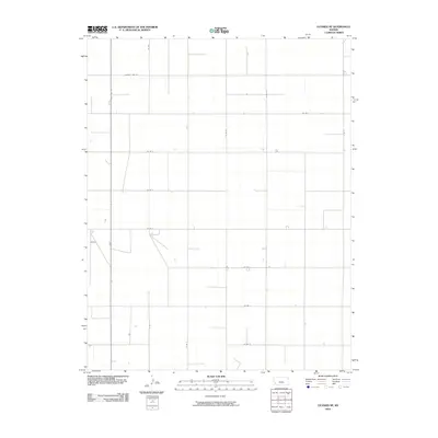
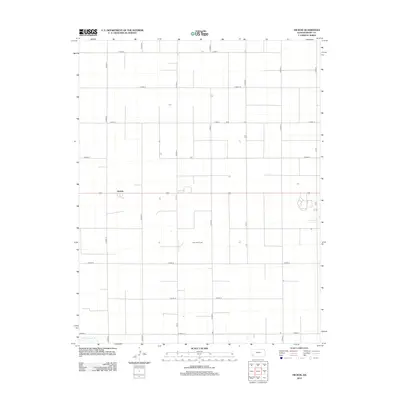
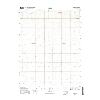
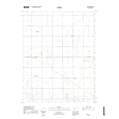
1959 Map of Hickok
USGS Topo · Published 1960About this map
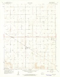
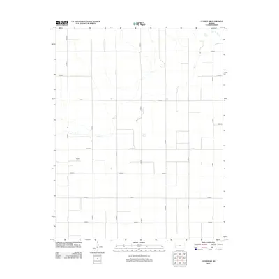
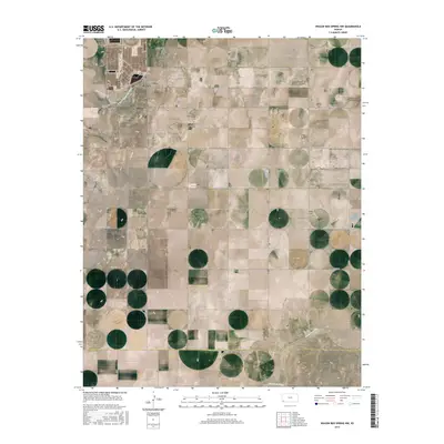
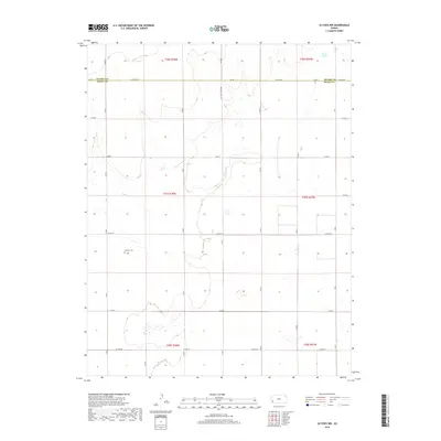
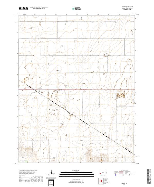
Hickok stands as a focal point in this high-plains landscape, situated along the path of the Atchison Topeka and Santa Fe railroad in Grant County. The terrain is defined by a dense network of energy extraction, with dozens of Gas Wells dotting the townships of Sherman, Lincoln, and Sullivan. This 1959 survey reveals the intersection of industrial development and rural community life, marked by the presence of the Red Rock Sch and specialized local infrastructure like the Columbian Track and a Landing Field. Toward the southern edge of the quadrangle, the topography yields to the N Fork Cimarron R, where several Gravel Pits indicate further resource utilization near the riverbank. The map provides a detailed view of the mid-century infrastructure that supported the Kansas gas fields and the railroad economy of the era.
Find a feature on this map
11 named features on this map. Tap any name to fly to it.
Don’t see what you’re looking for? This feature index may not catch every label — zoom into the map to look around manually.
Map Details
Editions of this 1959 Hickok Map
This is the sole edition of this map. No revisions or reprints were ever made.
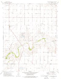
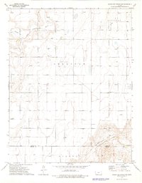
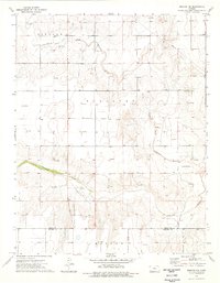
Historical Maps of Lincoln Township Through Time
48 maps found
1959 Hickok
Grant County, KS
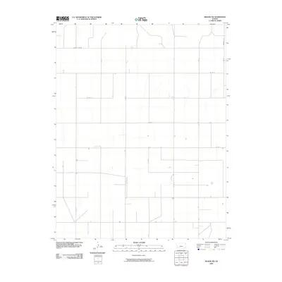
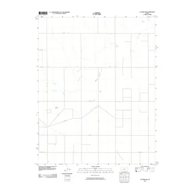
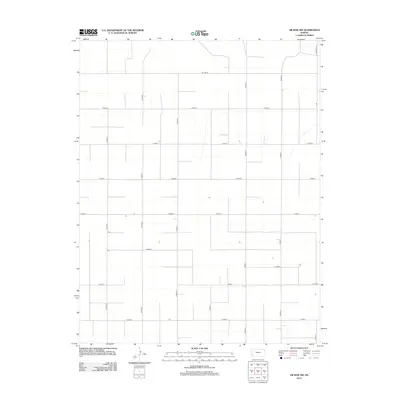
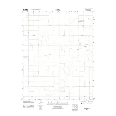
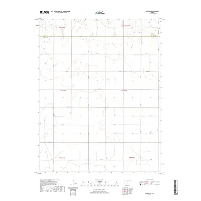
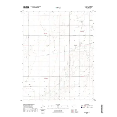
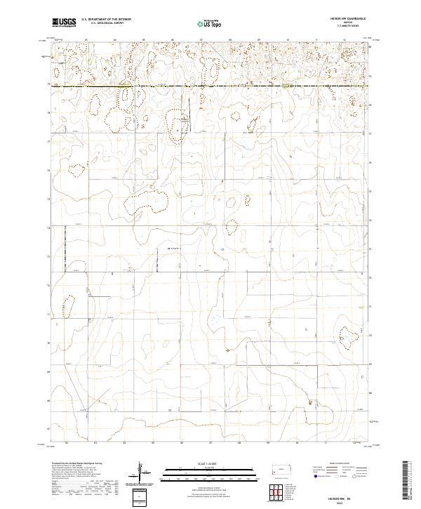
1959 Hickok NW
Grant County, KS
1959 Ulysses NE
Grant County, KS
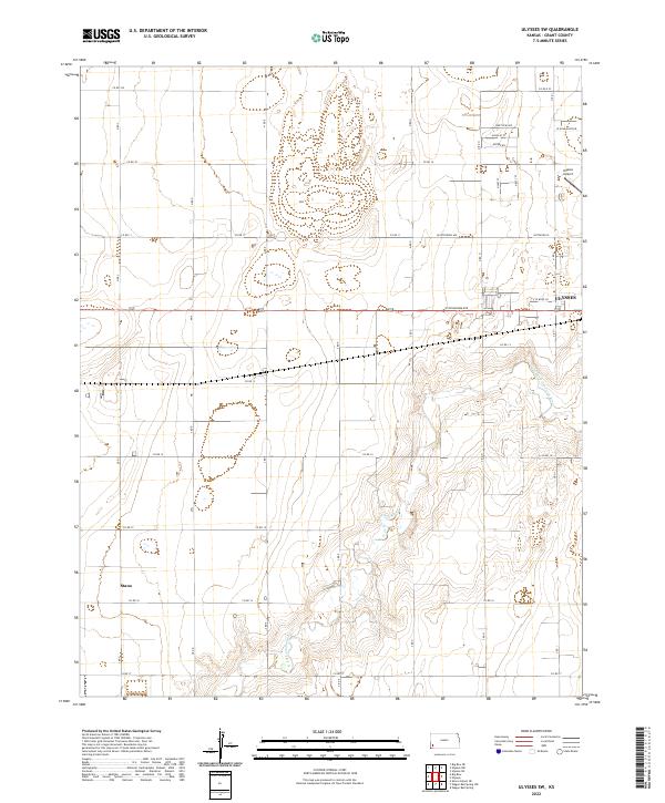
1959 Ulysses NW
Grant County, KS
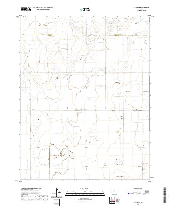
1959 Ulysses SW
Grant County, KS
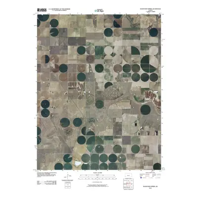
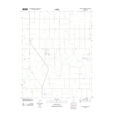
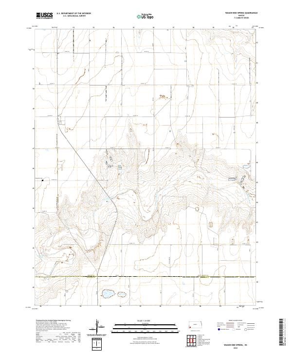
1974 Wagon Bed Spring
Grant County, KS
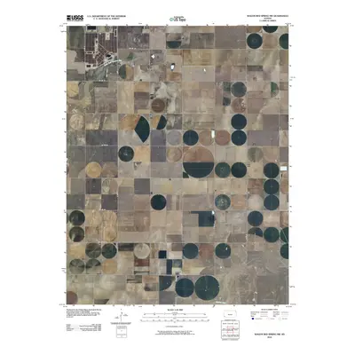
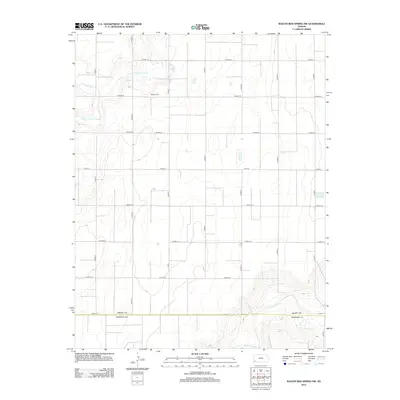
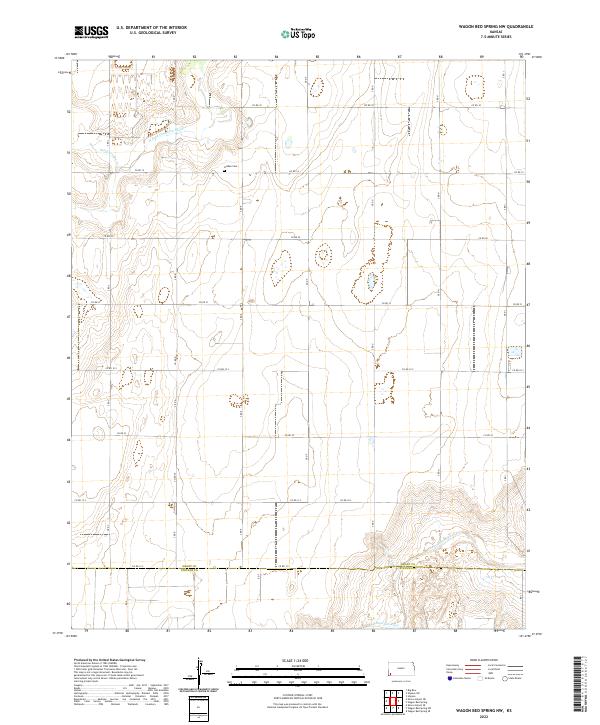
1974 Wagon Bed Spring NW
Grant County, KS
1975 Moscow NW
Grant County, KS
2009 Hickok
Grant County, KS
2009 Hickok NW
Grant County, KS
2009 Ulysses SW
Grant County, KS
2010 Moscow NW
Grant County, KS
2010 Ulysses NE
Grant County, KS
2010 Ulysses NW
Grant County, KS
2010 Wagon Bed Spring
Grant County, KS
2010 Wagon Bed Spring NW
Grant County, KS
2012 Hickok
Grant County, KS
2012 Hickok NW
Grant County, KS
2012 Moscow NW
Grant County, KS
2012 Ulysses NE
Grant County, KS
2012 Ulysses NW
Grant County, KS
2012 Ulysses SW
Grant County, KS
2012 Wagon Bed Spring
Grant County, KS
2012 Wagon Bed Spring NW
Grant County, KS
2015 Hickok NW
Grant County, KS
2015 Ulysses NE
Grant County, KS
2015 Ulysses NW
Grant County, KS
2015 Ulysses SW
Grant County, KS
2015 Wagon Bed Spring NW
Grant County, KS
2016 Hickok
Grant County, KS
2016 Moscow NW
Grant County, KS
2016 Wagon Bed Spring
Grant County, KS
2018 Hickok
Grant County, KS
2018 Hickok NW
Grant County, KS
2018 Moscow NW
Grant County, KS
2018 Ulysses NE
Grant County, KS
2018 Ulysses NW
Grant County, KS
2018 Ulysses SW
Grant County, KS
2018 Wagon Bed Spring
Grant County, KS
2018 Wagon Bed Spring NW
Grant County, KS
2022 Hickok
Grant County, KS
2022 Hickok NW
Grant County, KS
2022 Moscow NW
Grant County, KS
2022 Ulysses NE
Grant County, KS
2022 Ulysses NW
Grant County, KS
2022 Ulysses SW
Grant County, KS
2022 Wagon Bed Spring
Grant County, KS
2022 Wagon Bed Spring NW
Grant County, KS
Featured Locations
- Grant County, KS
- Lincoln Township, KS
- Sherman Township, KS
- Sullivan Township, KS
- Hickok, Lincoln Township