
1974 Map of Feterita
USGS Topo · Published 1975About this map
Feterita serves as the focal point of this southwestern Kansas landscape during the mid-1970s, situated along the tracks of the Atchison Topeka and Santa Fe railroad. The map reveals an intensive energy-extraction economy, with dozens of individual Gas Well and Gas Wells symbols scattered across the high plains of West Center township. This industrial presence is further underscored by the diagonal route of a major Pipeline cutting through the terrain. Social and recreational infrastructure is represented by the Hugoton Country Club Water Tank, providing a rare landmark in an area otherwise dominated by agriculture and natural gas production. The sheet captures the precise layout of section lines and field boundaries before the widespread adoption of center-pivot irrigation altered the visual geometry of the region.
Find a feature on this map
12 named features on this map. Tap any name to fly to it.
Don’t see what you’re looking for? This feature index may not catch every label — zoom into the map to look around manually.
Map Details
Editions of this 1974 Feterita Map
This is the sole edition of this map. No revisions or reprints were ever made.
Other maps of this area

1955 · Dodge City
USGS Topo · 1:250,000

1958 · Dodge City
USGS Topo · 1:250,000

1959 · Dodge City
USGS Topo · 1:250,000

1973 · Rolla NE
USGS Topo · 1:24,000
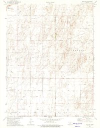
1974 · Rolla SE
USGS Topo · 1:24,000
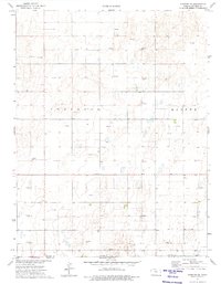
1974 · Hugoton SE
USGS Topo · 1:24,000

1974 · Hugoton
USGS Topo · 1:24,000
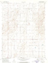
1974 · Hugoton SW
USGS Topo · 1:24,000

1974 · Shore Airport SE
USGS Topo · 1:24,000
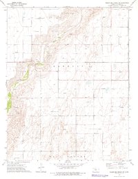
1974 · Wagon Bed Spring SW
USGS Topo · 1:24,000