
Historical Maps of Roberts County, Texas
What stories do these 39 old maps tell about Roberts County's past? From 1954 to present day, these maps reveal the evolution of streets, neighborhoods, iconic landmarks, and natural features in stunning high-res detail. Whether you're a history enthusiast, genealogist, or professional in education, environmental work, or architecture, these maps are perfect for exploration, research, and discovery.
Discover Roberts County's history through maps:
- Trace Roberts County's growth: Explore earlier and latest maps and editions to uncover how the region changed over time.
- Examine technical details: Each map includes its creators, publishers, scale, dimensions, and full source information.
- Layer maps with modern tools & imagery: Compare historical maps to modern-day with high-resolution satellite imagery and detailed LiDAR layers.
- Sourced from trusted archives: Carefully preserved and digitized by institutions like the United Stated Geological Survey and the US Library of Congress.
- Access in any format: View and explore in high resolution, download for offline use, or order a museum-quality print for yourself or a loved one.
Begin your journey into Roberts County's history with these remarkable must-see maps.
Roberts County, TX maps
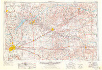
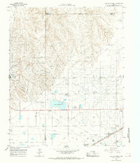
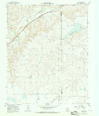
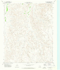
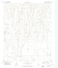
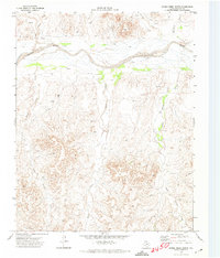
(39)- 1954 Map of Perryton, 1966 Print
 1954 Perryton1966 Print · USGSCovers Roberts County, including Guymon, Perryton, and other nearby areas
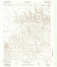
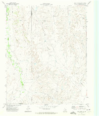
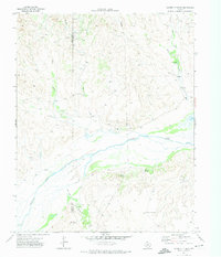
 - 1954 Map of Amarillo, 1966 Print
 1954 Amarillo1966 Print · USGSCovers Roberts County, including Amarillo, Pampa, and other nearby areas
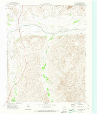
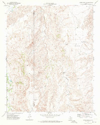
 - 1954 Map of Amarillo, 1976 Print
 1954 Amarillo1976 Print · USGSCovers Roberts County, including Amarillo, Pampa, and other nearby areas
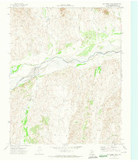
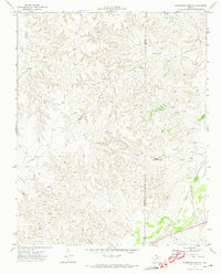
 - 1954 Map of Perryton, 1977 Print
 1954 Perryton1977 Print · USGSCovers Roberts County, including Guymon, Perryton, and other nearby areas
 - 1954 Map of Perryton, 1977 Print
 1954 Perryton1977 Print · USGSCovers Roberts County, including Guymon, Perryton, and other nearby areas
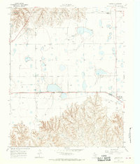
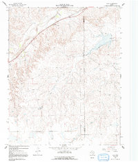
 - 1958 Map of Perryton
 1958 Perryton1958 Print · USGSCovers Roberts County, including Guymon, Perryton, and other nearby areas
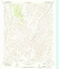
 - 1958 Map of Amarillo
 1958 Amarillo1958 Print · USGSCovers Roberts County, including Amarillo, Pampa, and other nearby areas
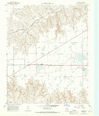
 - 1963 Map of Pampa, 1968 Print
 1963 Pampa1968 Print · USGSCovers Roberts County, including Pampa, Gray County, and other nearby areas
 - 1965 Map of Lake Mc Connell, 1967 Print
 1965 Lake Mc Connell1967 Print · USGSCovers Roberts County, including Gray County, Carson County, and other nearby areas
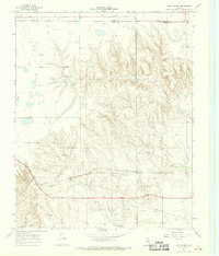
 - 1966 Map of Laketon, 1970 Print
 1966 Laketon1970 Print · USGSCovers Roberts County, including Laketon, Gray County, and other nearby areas
 - 1967 Map of Hoover, 1969 Print
 1967 Hoover1969 Print · USGSCovers Roberts County, including Heaton, Hoover, and other nearby areas
 - 1967 Map of Tody School, 1970 Print
 1967 Tody School1970 Print · USGSCovers Roberts County, including Gray County, Hemphill County, and other nearby areas
 - 1967 Map of Lora, 1970 Print
 1967 Lora1970 Print · USGSCovers Roberts County, including Lora, Hemphill County, and other nearby areas
 - 1967 Map of Totty School, 1983 Print
 1967 Totty School1983 Print · USGSCovers Roberts County, including Gray County, Hemphill County, and other nearby areas
 - 1967 Map of Lora, 1992 Print
 1967 Lora1992 Print · USGSCovers Roberts County, including Lora, Hemphill County, and other nearby areas
 - 1971 Map of Dry Creek South, 1974 Print
 1971 Dry Creek South1974 Print · USGSCovers Roberts County, including United States, Texas, and other nearby areas
 - 1971 Map of Dry Creek SE, 1974 Print
 1971 Dry Creek SE1974 Print · USGSCovers Roberts County, including United States, Texas, and other nearby areas
 - 1971 Map of Skellytown NE, 1974 Print
 1971 Skellytown NE1974 Print · USGSCovers Roberts County, including Hutchinson County, Carson County, and other nearby areas
 - 1971 Map of Dry Creek NE, 1974 Print
 1971 Dry Creek NE1974 Print · USGSCovers Roberts County, including United States, Texas, and other nearby areas
 - 1971 Map of Dry Creek North, 1974 Print
 1971 Dry Creek North1974 Print · USGSCovers Roberts County, including United States, Texas, and other nearby areas
 - 1971 Map of Pampa NW, 1974 Print
 1971 Pampa NW1974 Print · USGSCovers Roberts County, including Wayside, United States, and other nearby areas
 - 1971 Map of Garden Springs, 1974 Print
 1971 Garden Springs1974 Print · USGSCovers Roberts County, including Hutchinson County, United States, and other nearby areas
 - 1971 Map of Adobe Creek SE, 1974 Print
 1971 Adobe Creek SE1974 Print · USGSCovers Roberts County, including Hutchinson County, United States, and other nearby areas
 - 1972 Map of Washburn Arroyo, 1974 Print
 1972 Washburn Arroyo1974 Print · USGSCovers Roberts County, including Hemphill County, United States, and other nearby areas
 - 1972 Map of Horse Creek North, 1974 Print
 1972 Horse Creek North1974 Print · USGSCovers Roberts County, including United States, Texas, and other nearby areas
Showing maps 1-25 of 39
Top cities in Roberts County
Frequently asked questions
- What are the different types of historical maps available for Roberts County?
- What is the oldest map of Roberts County?
- Where can I purchase historical maps of Roberts County for my home or office?
- Where can I download high-res historical maps of Roberts County?
- Are there historical topographic maps available for Roberts County?
- Is there historical aerial imagery available for Roberts County?
- Where are historical maps of Roberts County sourced from?