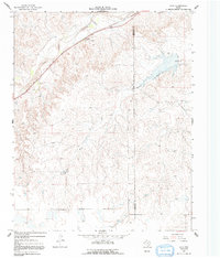
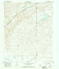
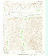
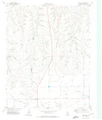
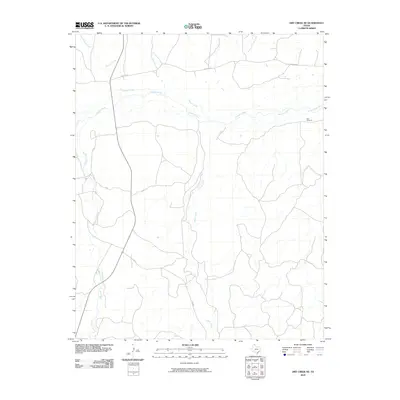
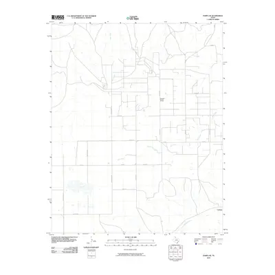
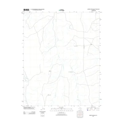
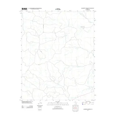
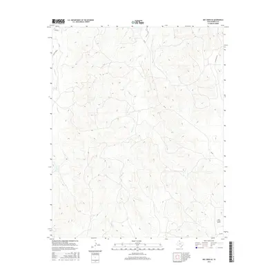
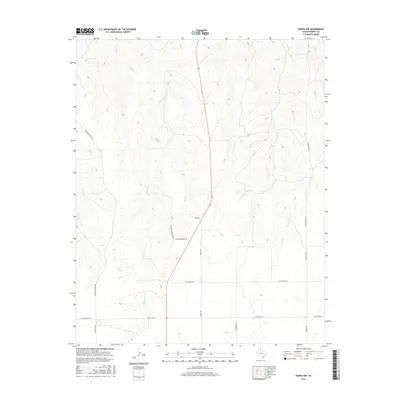
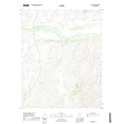
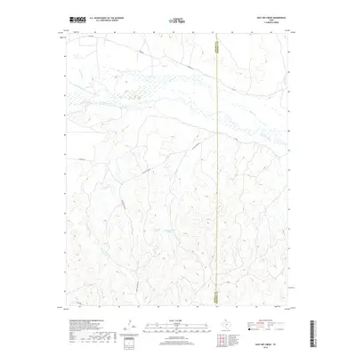
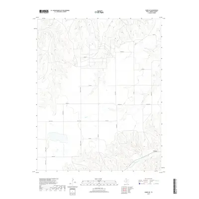
1967 Map of Lora
USGS Topo · Published 1992About this map
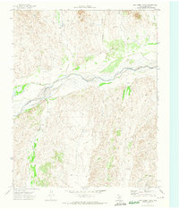
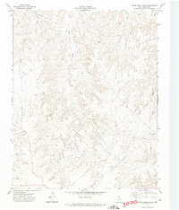
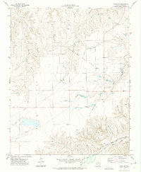
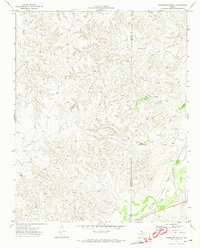
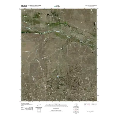
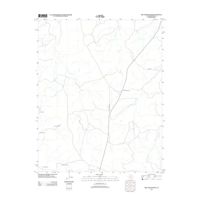
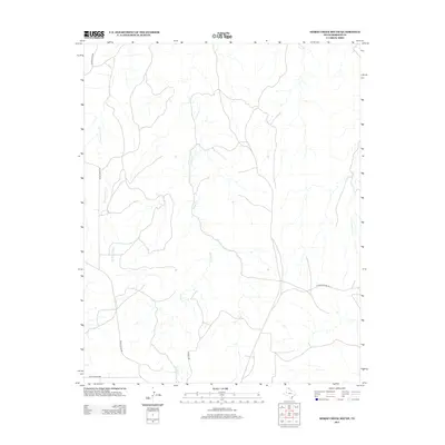
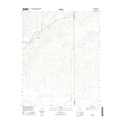
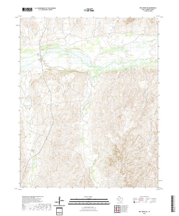
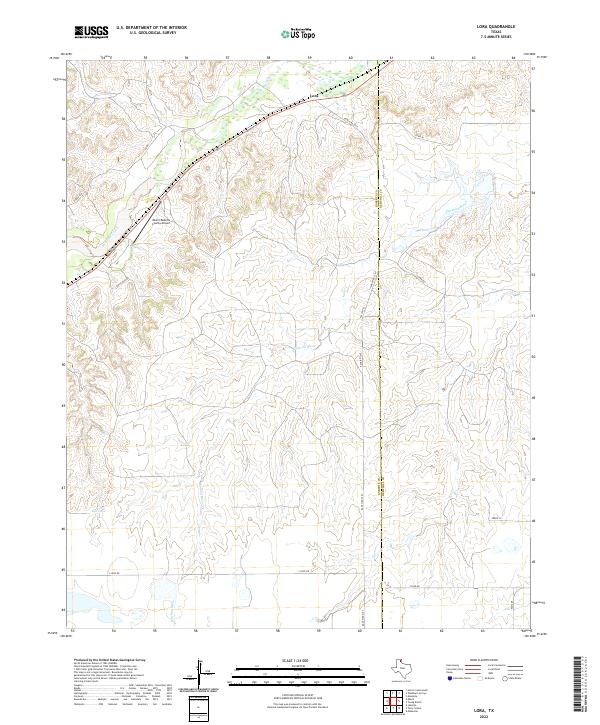
Lora stands as a small rail and transit point in the Texas Panhandle, positioned along the Santa Fe railroad line and Highway 60. The landscape is defined by the headwaters of the Washita River, which flows eastward from its source here, while Red Deer Creek cuts across the northern portion of the quadrangle. This area serves as a significant drainage divide, where the transition from higher plains into the river's upper valley begins.
Find a feature on this map
13 named features on this map. Tap any name to fly to it.
Don’t see what you’re looking for? This feature index may not catch every label — zoom into the map to look around manually.
Map Details
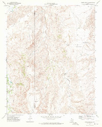
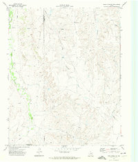
Editions of this 1967 Lora Map
2 editions found
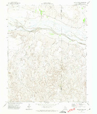
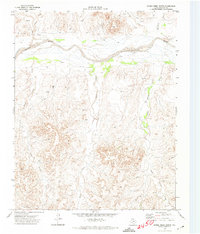
Historical Maps of Lora Through Time
84 maps found
1967 Lora
Roberts County, TX
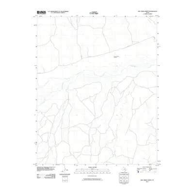
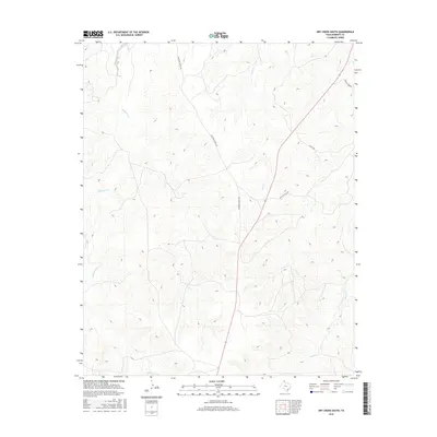
1971 Adobe Creek SE
Roberts County, TX
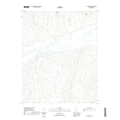
1971 Dry Creek NE
Roberts County, TX
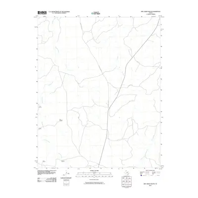
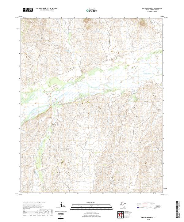
1971 Dry Creek North
Roberts County, TX
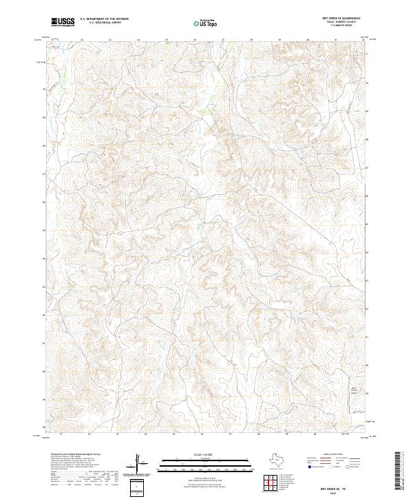
1971 Dry Creek SE
Roberts County, TX
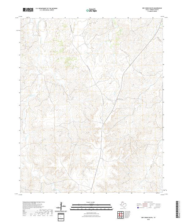
1971 Dry Creek South
Roberts County, TX
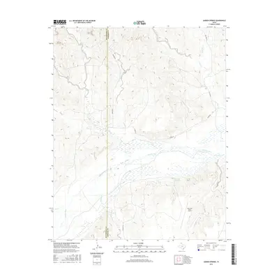
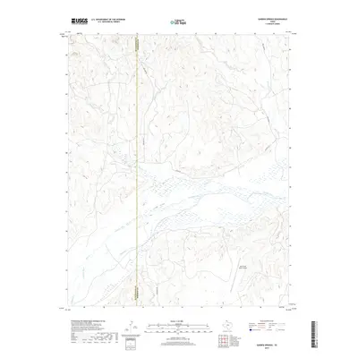
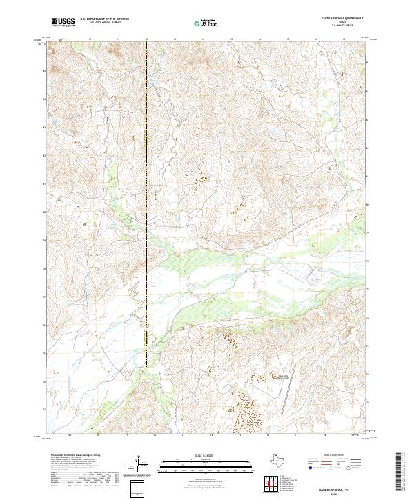
1971 Garden Springs
Roberts County, TX
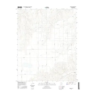
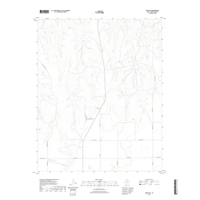
1971 Pampa NW
Roberts County, TX
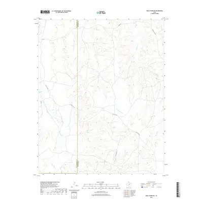
1971 Skellytown NE
Roberts County, TX
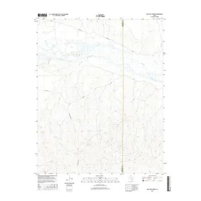
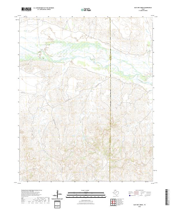
1972 East Dry Creek
Roberts County, TX
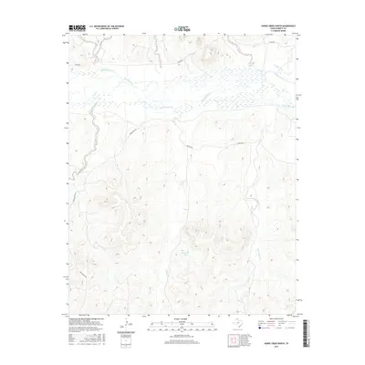
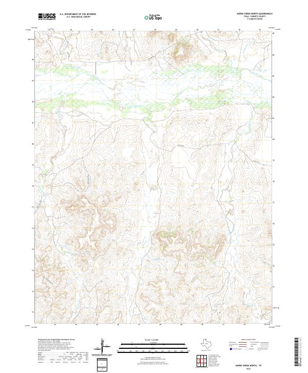
1972 Horse Creek North
Roberts County, TX
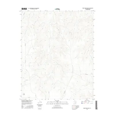
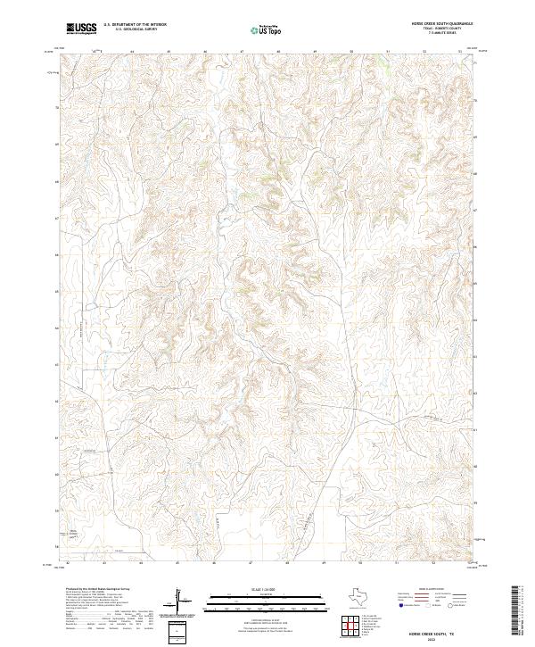
1972 Horse Creek South
Roberts County, TX
1972 Pampa NE
Roberts County, TX
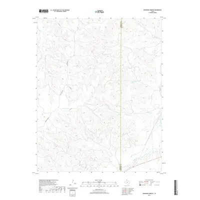
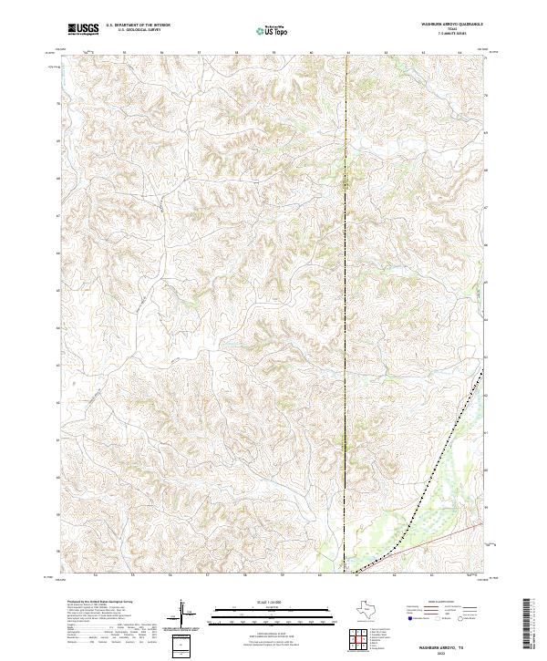
1972 Washburn Arroyo
Roberts County, TX
2010 Adobe Creek SE
Roberts County, TX
2010 Dry Creek NE
Roberts County, TX
2010 Dry Creek North
Roberts County, TX
2010 Dry Creek SE
Roberts County, TX
2010 Dry Creek South
Roberts County, TX
2010 East Dry Creek
Roberts County, TX
2010 Garden Springs
Roberts County, TX

2010 Horse Creek North
Roberts County, TX
2010 Horse Creek South
Roberts County, TX
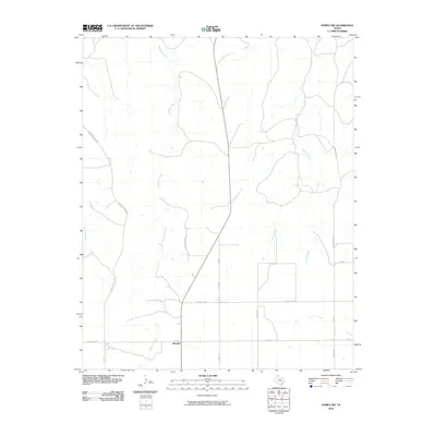
2010 Lora
Roberts County, TX
2010 Pampa NE
Roberts County, TX
2010 Pampa NW
Roberts County, TX
2010 Skellytown NE
Roberts County, TX
2010 Washburn Arroyo
Roberts County, TX
2012 Adobe Creek SE
Roberts County, TX
2012 Dry Creek NE
Roberts County, TX
2012 Dry Creek North
Roberts County, TX
2012 Dry Creek SE
Roberts County, TX
2012 Dry Creek South
Roberts County, TX
2012 East Dry Creek
Roberts County, TX
2012 Garden Springs
Roberts County, TX
2012 Horse Creek North
Roberts County, TX
2012 Horse Creek South
Roberts County, TX

2012 Lora
Roberts County, TX
2012 Pampa NE
Roberts County, TX
2012 Pampa NW
Roberts County, TX
2012 Skellytown NE
Roberts County, TX
2012 Washburn Arroyo
Roberts County, TX
2016 Adobe Creek SE
Roberts County, TX
2016 Dry Creek NE
Roberts County, TX
2016 Dry Creek North
Roberts County, TX
2016 Dry Creek SE
Roberts County, TX
2016 Dry Creek South
Roberts County, TX
2016 East Dry Creek
Roberts County, TX
2016 Garden Springs
Roberts County, TX
2016 Horse Creek North
Roberts County, TX
2016 Horse Creek South
Roberts County, TX
2016 Lora
Roberts County, TX
2016 Pampa NE
Roberts County, TX
2016 Pampa NW
Roberts County, TX
2016 Skellytown NE
Roberts County, TX
2016 Washburn Arroyo
Roberts County, TX
2019 Adobe Creek SE
Roberts County, TX
2019 Dry Creek NE
Roberts County, TX
2019 Dry Creek North
Roberts County, TX
2019 Dry Creek SE
Roberts County, TX
2019 Dry Creek South
Roberts County, TX
2019 East Dry Creek
Roberts County, TX
2019 Garden Springs
Roberts County, TX
2019 Horse Creek North
Roberts County, TX
2019 Horse Creek South
Roberts County, TX

2019 Lora
Roberts County, TX
2019 Pampa NE
Roberts County, TX
2019 Pampa NW
Roberts County, TX
2019 Skellytown NE
Roberts County, TX
2019 Washburn Arroyo
Roberts County, TX

2022 Adobe Creek SE
Roberts County, TX
2022 Dry Creek NE
Roberts County, TX
2022 Dry Creek North
Roberts County, TX
2022 Dry Creek SE
Roberts County, TX
2022 Dry Creek South
Roberts County, TX
2022 East Dry Creek
Roberts County, TX
2022 Garden Springs
Roberts County, TX
2022 Horse Creek North
Roberts County, TX
2022 Horse Creek South
Roberts County, TX
2022 Lora
Roberts County, TX
2022 Pampa NE
Roberts County, TX
2022 Pampa NW
Roberts County, TX
2022 Skellytown NE
Roberts County, TX
2022 Washburn Arroyo
Roberts County, TX