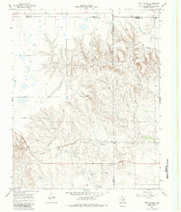
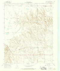
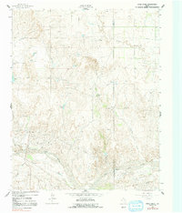
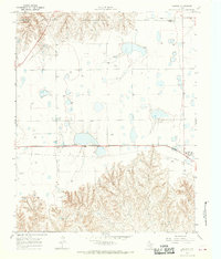
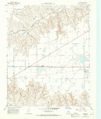
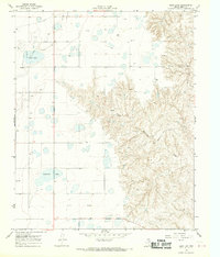
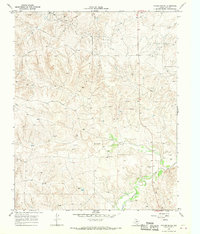
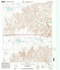
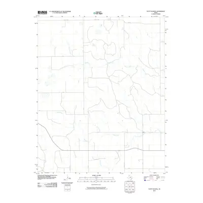
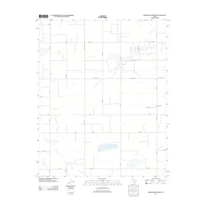
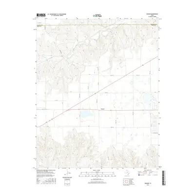
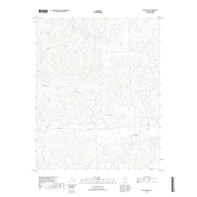
1967 Map of Totty School
USGS Topo · Published 1983About this map
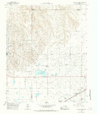
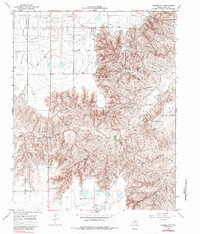
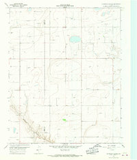
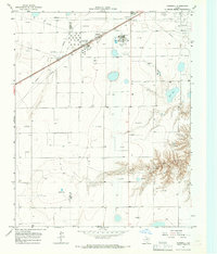
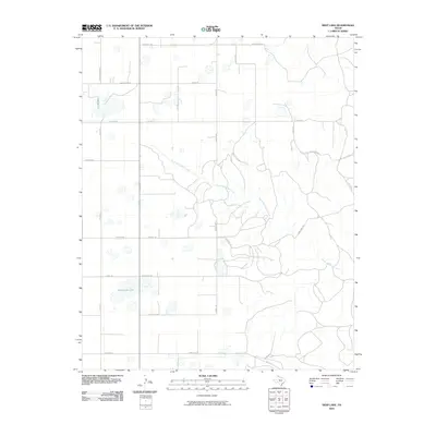
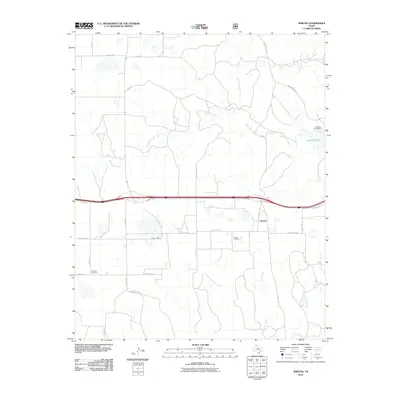
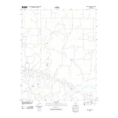
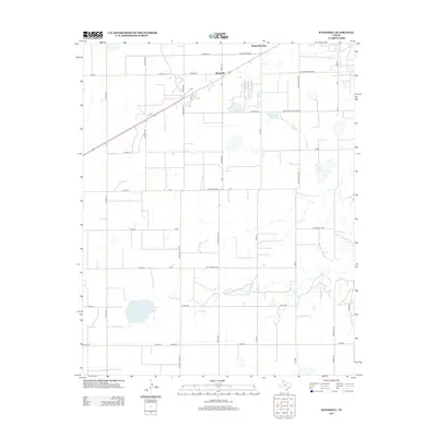
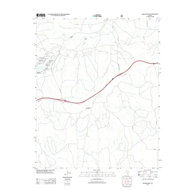
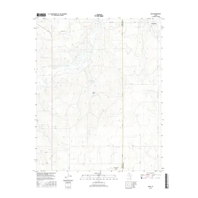
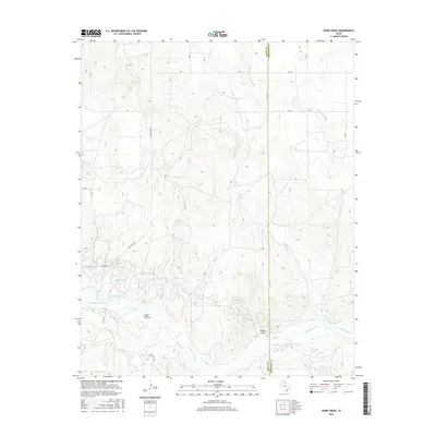
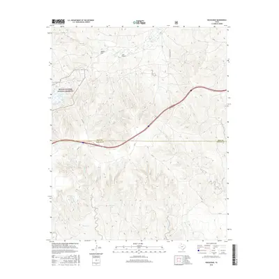
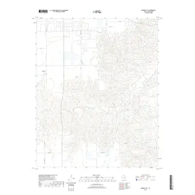
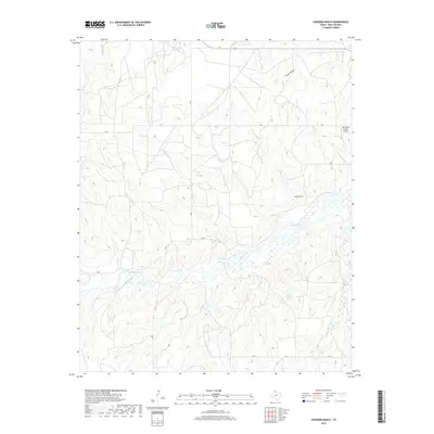
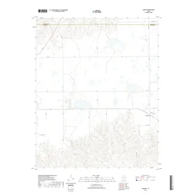
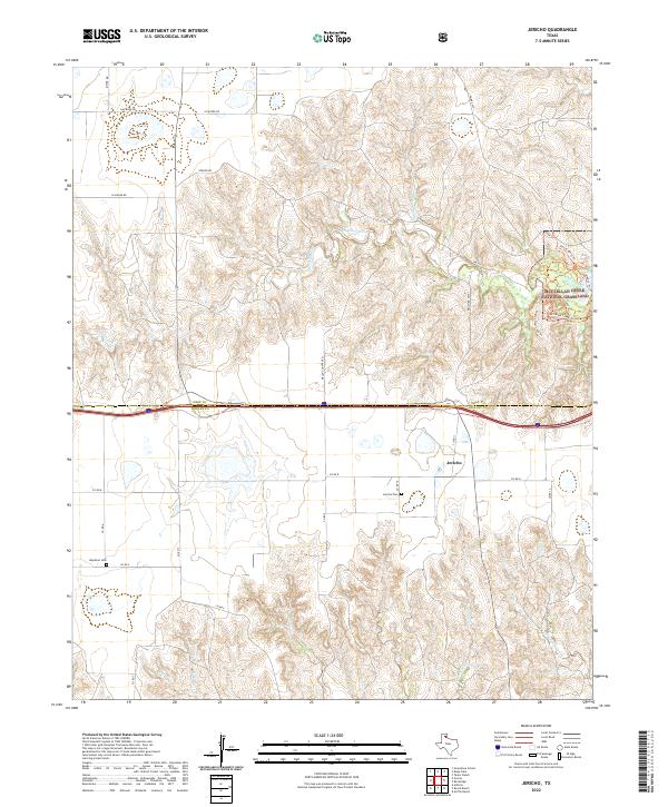
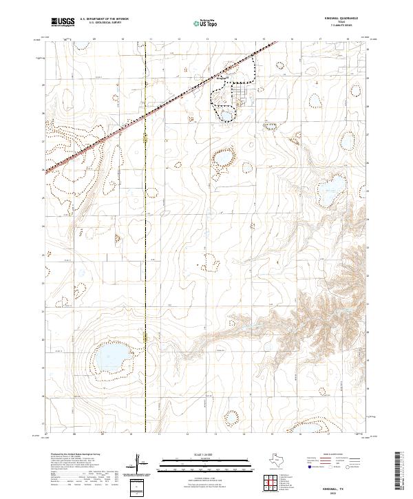
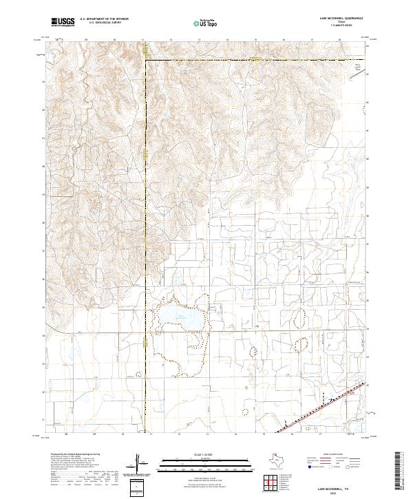
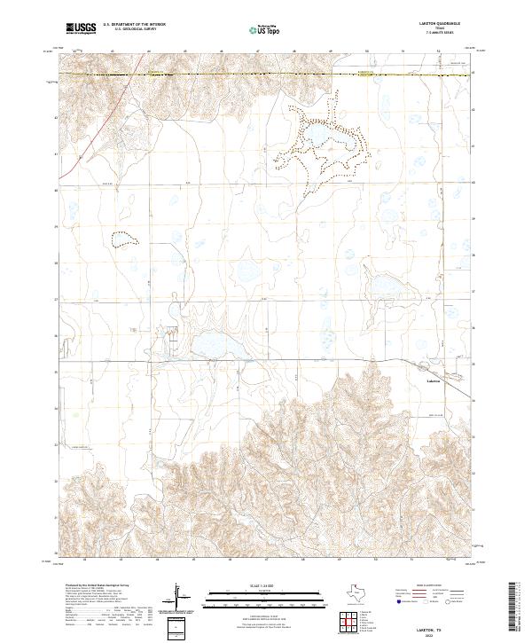
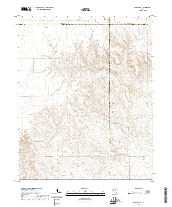
Sweetwater Creek and its many winding tributaries define this portion of the Texas Panhandle, where Gray, Wheeler, Roberts, and Hemphill counties converge. The landscape is marked by the industrial footprints of the mid-20th century, with numerous Gravel Pits, Gas Wells, and an Oil Well scattered across the terrain. A major Pipeline cuts through the southern reaches of the quadrangle, signaling the region's energy production role. Transport and education in this rural area are anchored by the Atchison Topeka and Santa Fe railroad line and the Totty Sch, which serves as a primary landmark for the local community. The drainage patterns of Cowboy Creek and Graham Creek reveal a deeply dissected topography that dictated the placement of early infrastructure and ranching operations.
Find a feature on this map
13 named features on this map. Tap any name to fly to it.
Don’t see what you’re looking for? This feature index may not catch every label — zoom into the map to look around manually.
Map Details
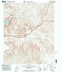
Editions of this 1967 Totty School Map
2 editions found
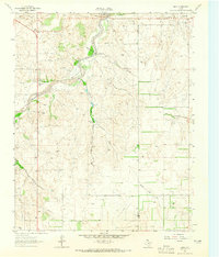
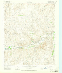
Historical Maps of Gray County Through Time
92 maps found
1962 Back
Gray County, TX
1962 Hudgens Ranch
Gray County, TX
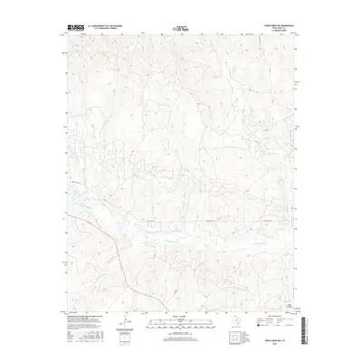
1962 Pond Creek
Gray County, TX
1962 Pond Creek NW
Gray County, TX
1964 Jericho
Gray County, TX
1964 Rockledge
Gray County, TX
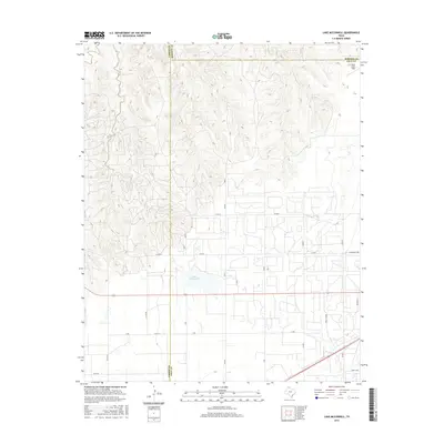
1965 Lake Mc Connell
Gray County, TX
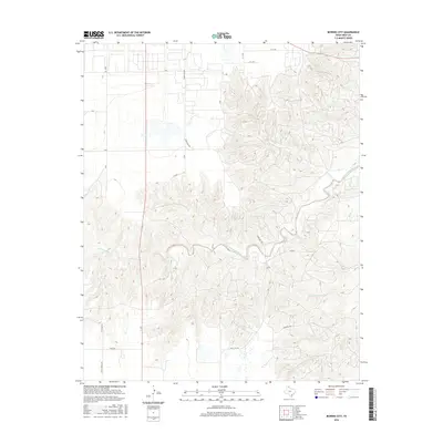
1966 Bowers City
Gray County, TX
1966 Grandview School
Gray County, TX
1966 Kingsmill
Gray County, TX
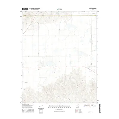
1966 Laketon
Gray County, TX
1967 Hoover
Gray County, TX
1967 Totty School
Gray County, TX
1968 Deep Lake
Gray County, TX
1968 Taylor Ranch
Gray County, TX
1998 Jericho
Gray County, TX
1998 Rockledge
Gray County, TX
2010 Back
Gray County, TX
2010 Bowers City
Gray County, TX
2010 Deep Lake
Gray County, TX
2010 Grandview School
Gray County, TX
2010 Hoover
Gray County, TX
2010 Hudgens Ranch
Gray County, TX
2010 Jericho
Gray County, TX
2010 Kingsmill
Gray County, TX
2010 Lake McConnell
Gray County, TX
2010 Laketon
Gray County, TX
2010 Pond Creek
Gray County, TX
2010 Pond Creek NW
Gray County, TX
2010 Rockledge
Gray County, TX
2010 Taylor Ranch
Gray County, TX
2010 Totty School
Gray County, TX
2012 Back
Gray County, TX
2012 Bowers City
Gray County, TX
2012 Deep Lake
Gray County, TX
2012 Grandview School
Gray County, TX
2012 Hoover
Gray County, TX
2012 Hudgens Ranch
Gray County, TX
2012 Jericho
Gray County, TX
2012 Kingsmill
Gray County, TX
2012 Laketon
Gray County, TX
2012 Pond Creek
Gray County, TX
2012 Pond Creek NW
Gray County, TX
2012 Rockledge
Gray County, TX
2012 Taylor Ranch
Gray County, TX
2012 Totty School
Gray County, TX
2013 Lake McConnell
Gray County, TX
2016 Back
Gray County, TX
2016 Bowers City
Gray County, TX
2016 Deep Lake
Gray County, TX
2016 Grandview School
Gray County, TX
2016 Hoover
Gray County, TX
2016 Hudgens Ranch
Gray County, TX
2016 Jericho
Gray County, TX
2016 Kingsmill
Gray County, TX
2016 Lake McConnell
Gray County, TX
2016 Laketon
Gray County, TX
2016 Pond Creek
Gray County, TX
2016 Pond Creek NW
Gray County, TX
2016 Rockledge
Gray County, TX
2016 Taylor Ranch
Gray County, TX
2016 Totty School
Gray County, TX
2019 Back
Gray County, TX
2019 Bowers City
Gray County, TX
2019 Deep Lake
Gray County, TX
2019 Grandview School
Gray County, TX
2019 Hoover
Gray County, TX
2019 Hudgens Ranch
Gray County, TX
2019 Jericho
Gray County, TX
2019 Kingsmill
Gray County, TX
2019 Lake McConnell
Gray County, TX
2019 Laketon
Gray County, TX
2019 Pond Creek
Gray County, TX
2019 Pond Creek NW
Gray County, TX
2019 Rockledge
Gray County, TX
2019 Taylor Ranch
Gray County, TX
2019 Totty School
Gray County, TX
2022 Back
Gray County, TX
2022 Bowers City
Gray County, TX
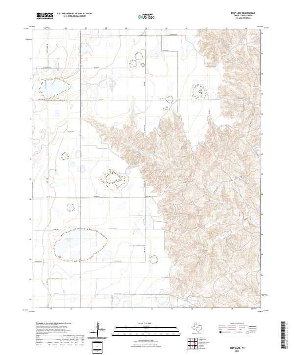
2022 Deep Lake
Gray County, TX
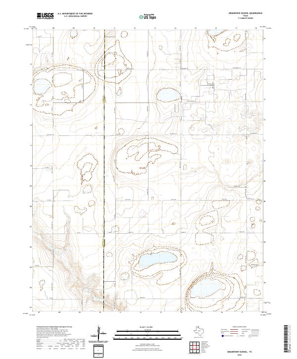
2022 Grandview School
Gray County, TX
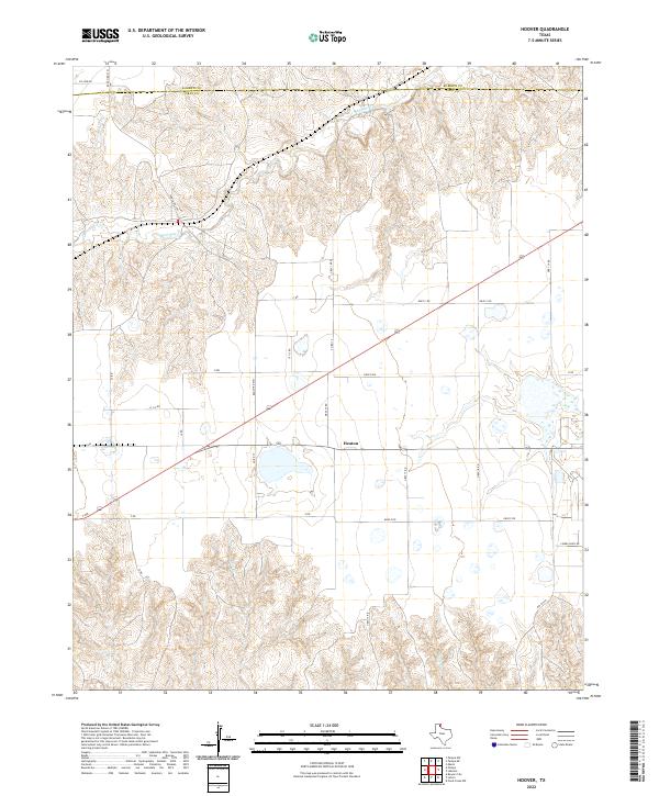
2022 Hoover
Gray County, TX
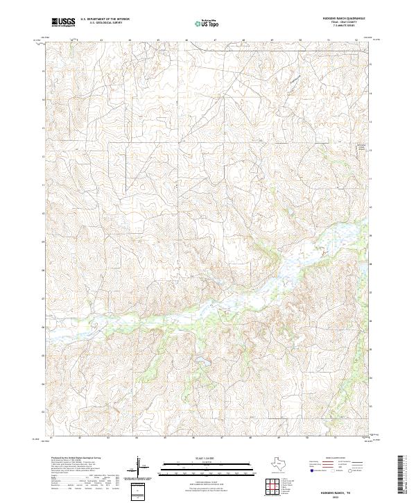
2022 Hudgens Ranch
Gray County, TX
2022 Jericho
Gray County, TX
2022 Kingsmill
Gray County, TX
2022 Lake McConnell
Gray County, TX
2022 Laketon
Gray County, TX
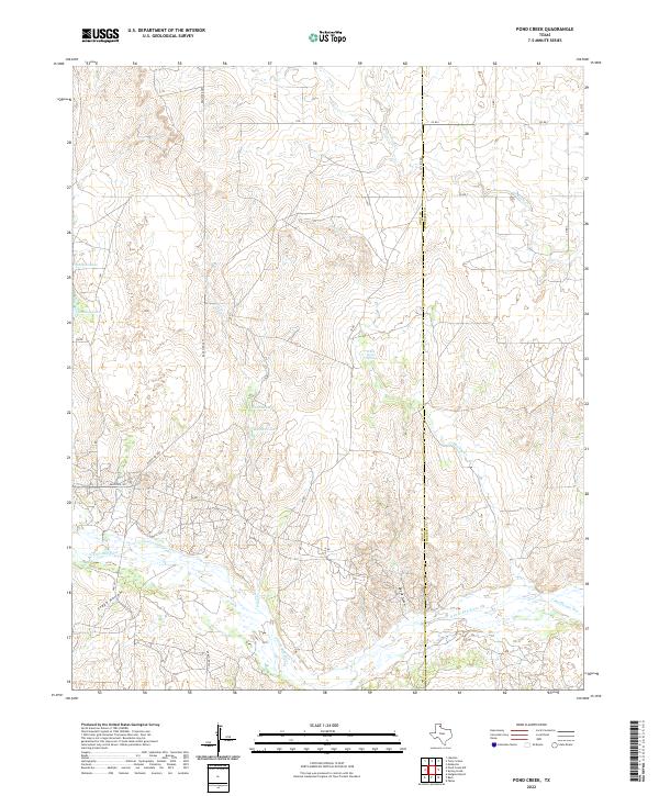
2022 Pond Creek
Gray County, TX
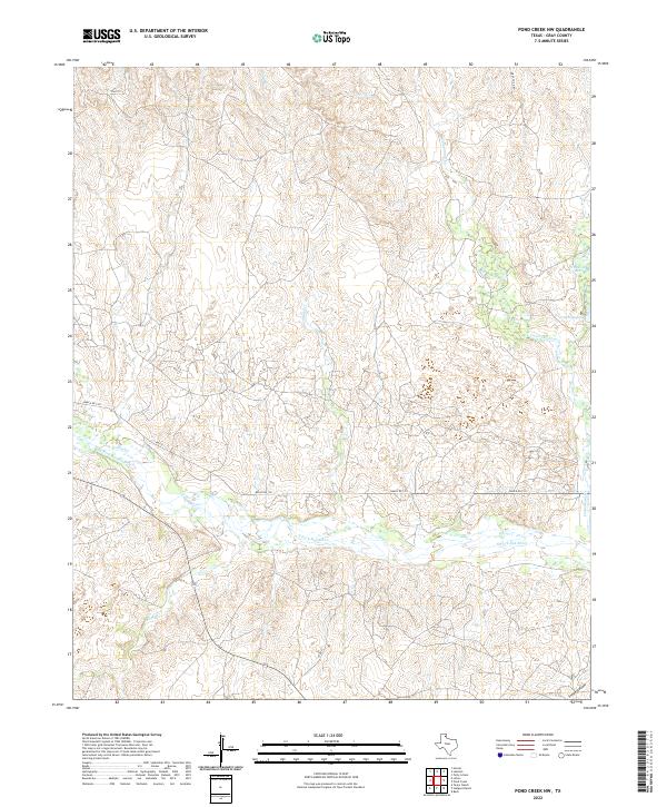
2022 Pond Creek NW
Gray County, TX
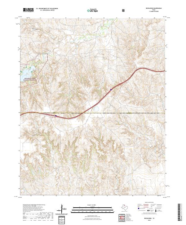
2022 Rockledge
Gray County, TX
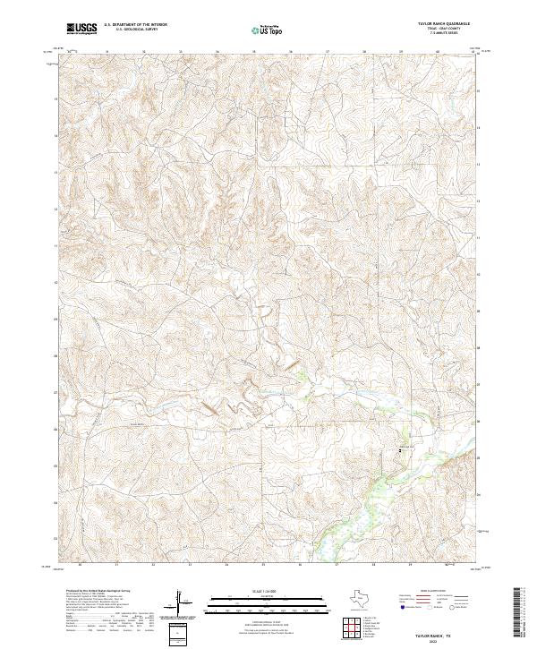
2022 Taylor Ranch
Gray County, TX
2022 Totty School
Gray County, TX