Loading...
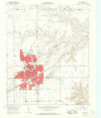
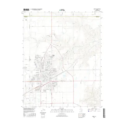
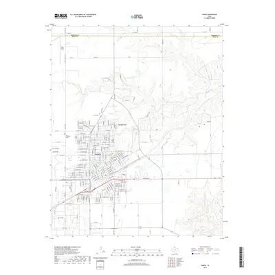
Loading map...1963 Map of Pampa
USGS Topo · Published 1968About this map
Pampa serves as a major Texas Panhandle hub at the crossroads of industrial expansion and residential growth during the early 1960s. The city's layout is defined by the Atchison Topeka and Santa Fe railroad, which cuts through the urban center, and the Fort Worth and Denver line extending to the south. Surrounding the developed areas of Mesilla Park and the main town site, an extensive Oil and Gas Field underscores the era's energy-driven economy.
Find a feature on this map
32 named features on this map. Tap any name to fly to it.
Don’t see what you’re looking for? This feature index may not catch every label — zoom into the map to look around manually.
Map Details
Date Portrayed1963
Date Published1968
PublisherU.S. Geological Survey
Map TypeTopographic
Scale1:24,000
Physical Dimensions23.1 x 27 inches
Editions of this 1963 Pampa Map
This is the sole edition of this map. No revisions or reprints were ever made.
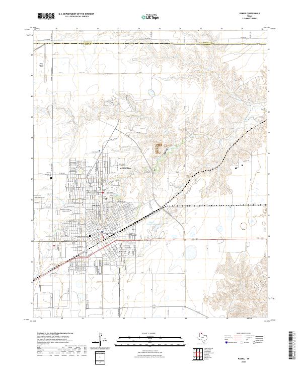
Historical Maps of Pampa Through Time
7 maps found
Featured Locations
Source Details
SourceU.S. Geological Survey
CopyrightPublic Domain