
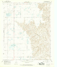
1966 Map of Kingsmill
USGS Topo · Published 1967About this map
Industrial infrastructure and petroleum extraction dominate the landscape of the Texas Panhandle as seen in this mid-1960s study. The settlement of Kingsmill and the nearby Kingsmill Camp serve as local hubs, positioned along the Atchison Topeka and Santa Fe railroad line. This rail corridor is a lifeline for the area's heavy industry, including a massive Chemical Plant, the Pampa Plant (Gas), and clusters of Storage Bins.
Find a feature on this map
14 named features on this map. Tap any name to fly to it.
Don’t see what you’re looking for? This feature index may not catch every label — zoom into the map to look around manually.
Map Details
Editions of this 1966 Kingsmill Map
This is the sole edition of this map. No revisions or reprints were ever made.
Other maps of this area

1954 · Amarillo
USGS Topo · 1:250,000

1958 · Amarillo
USGS Topo · 1:250,000

1963 · Pampa
USGS Topo · 1:24,000

1963 · Skellytown
USGS Topo · 1:24,000

1965 · White Deer
USGS Topo · 1:24,000

1965 · Lake Mc Connell
USGS Topo · 1:24,000

1966 · Grandview School
USGS Topo · 1:24,000

1966 · White Deer SW
USGS Topo · 1:24,000

1966 · Bowers City
USGS Topo · 1:24,000
1968 · Deep Lake
USGS Topo · 1:24,000