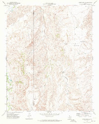
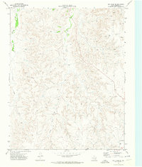
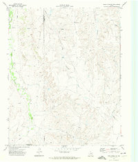
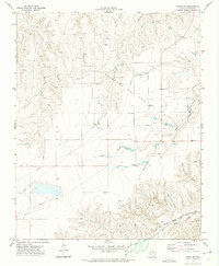
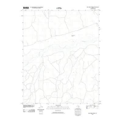
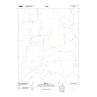
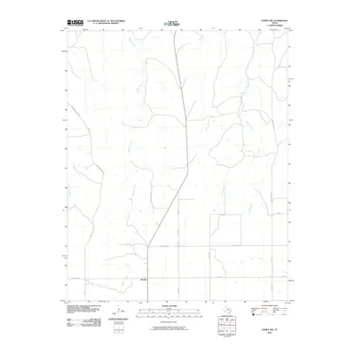
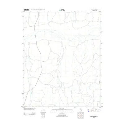
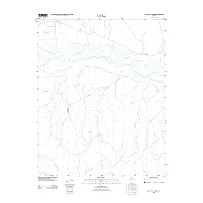
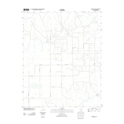
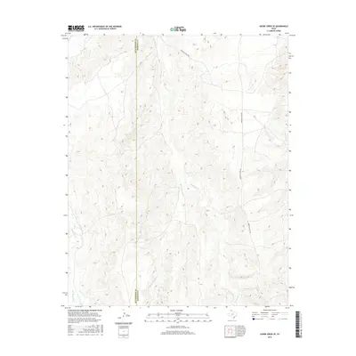
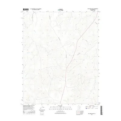
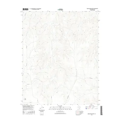
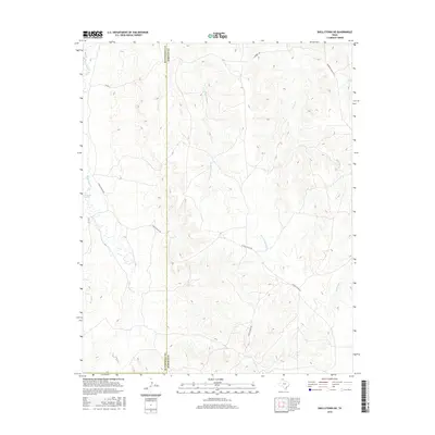
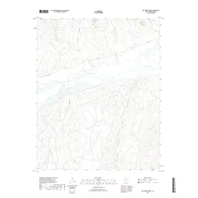
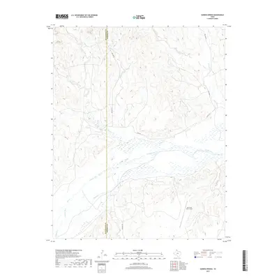
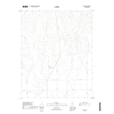
1971 Map of Adobe Creek SE
USGS Topo · Published 1974About this map
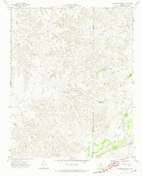
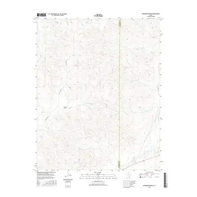
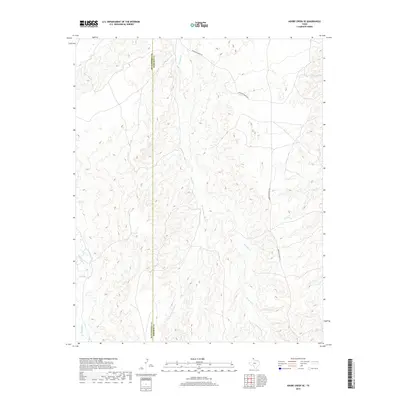
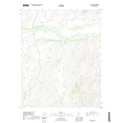
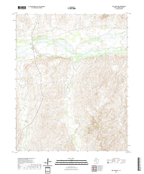
The rugged Texas Panhandle topography is defined by the complex drainages of Reynolds Creek and its West Fork, where deeply dissected plains meet the high ranchlands of the early 1970s. This survey, conducted by the U.S. Geological Survey and the Texas Water Development Board, documents a landscape dominated by the livestock industry and water management. Isolated ranching outposts like Morrison Ranch and another unnamed Ranch are scattered across the terrain, supported by a network of essential water sources including Sandhill Windmill, Highland Windmill, and Cake House Windmill. The border between Hutchinson Co and Roberts Co cuts through the western portion of the map, while a prominent Pipeline signifies the industrial energy infrastructure crossing the plains alongside natural features like White Deer Creek and several unnamed Springs.
Find a feature on this map
13 named features on this map. Tap any name to fly to it.
Don’t see what you’re looking for? This feature index may not catch every label — zoom into the map to look around manually.
Map Details
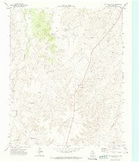
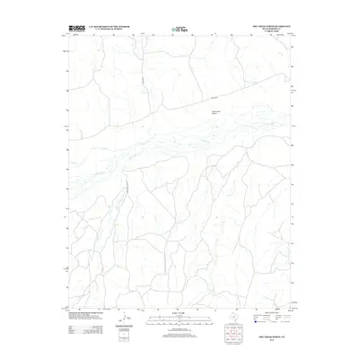
Editions of this 1971 Adobe Creek SE Map
This is the sole edition of this map. No revisions or reprints were ever made.
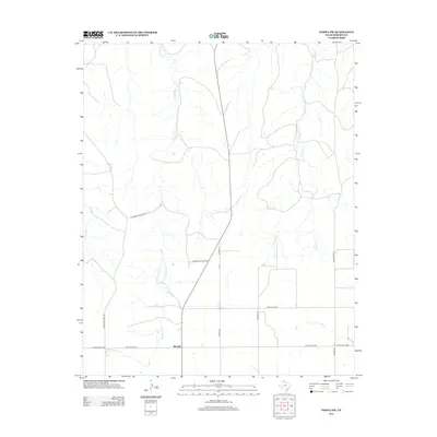
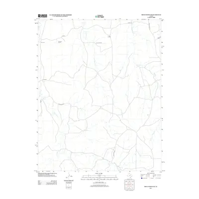
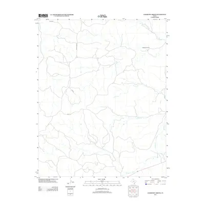
Historical Maps of Hutchinson County Through Time
84 maps found
1967 Lora
Roberts County, TX
1971 Adobe Creek SE
Roberts County, TX
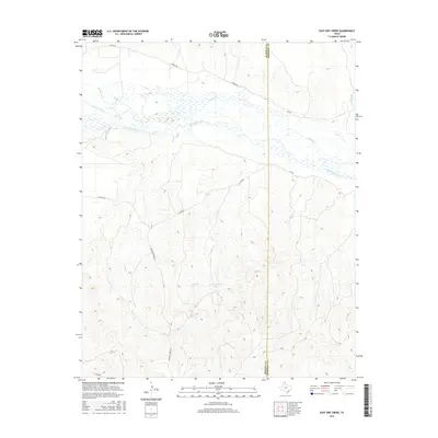
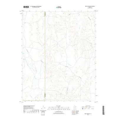
1971 Dry Creek NE
Roberts County, TX
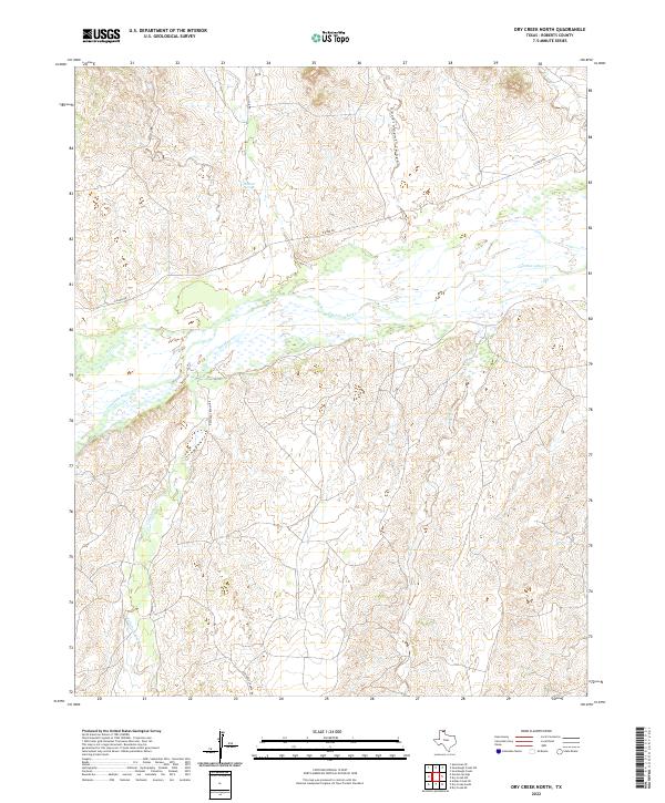
1971 Dry Creek North
Roberts County, TX
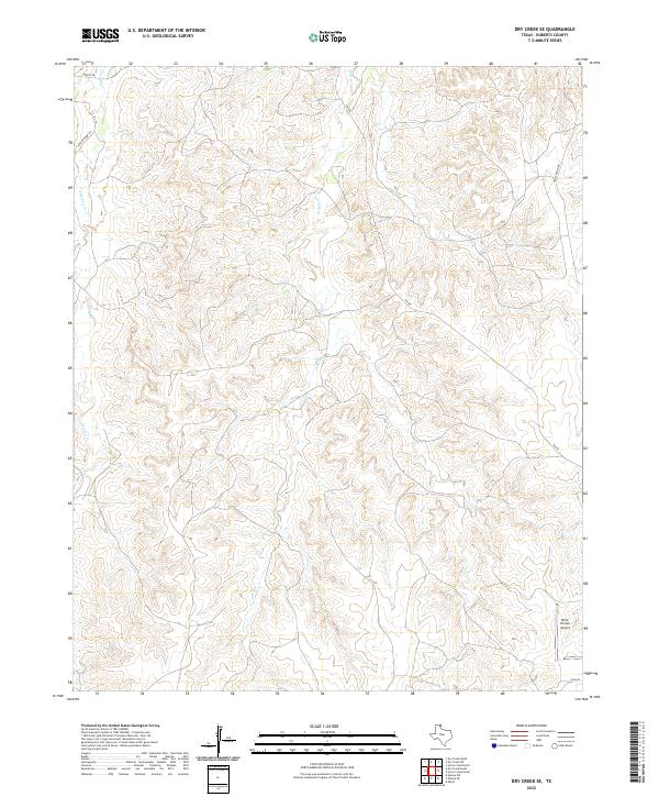
1971 Dry Creek SE
Roberts County, TX
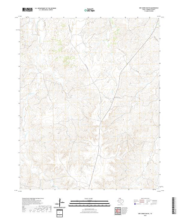
1971 Dry Creek South
Roberts County, TX
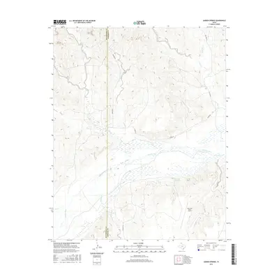
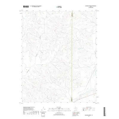
1971 Garden Springs
Roberts County, TX
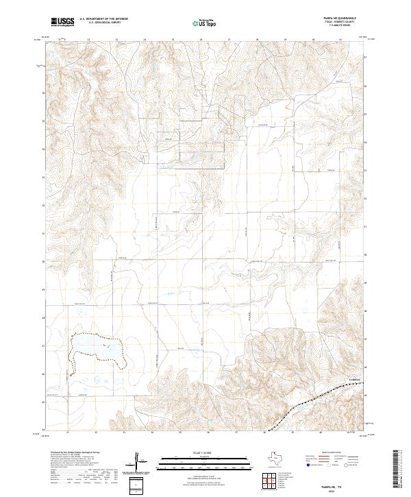
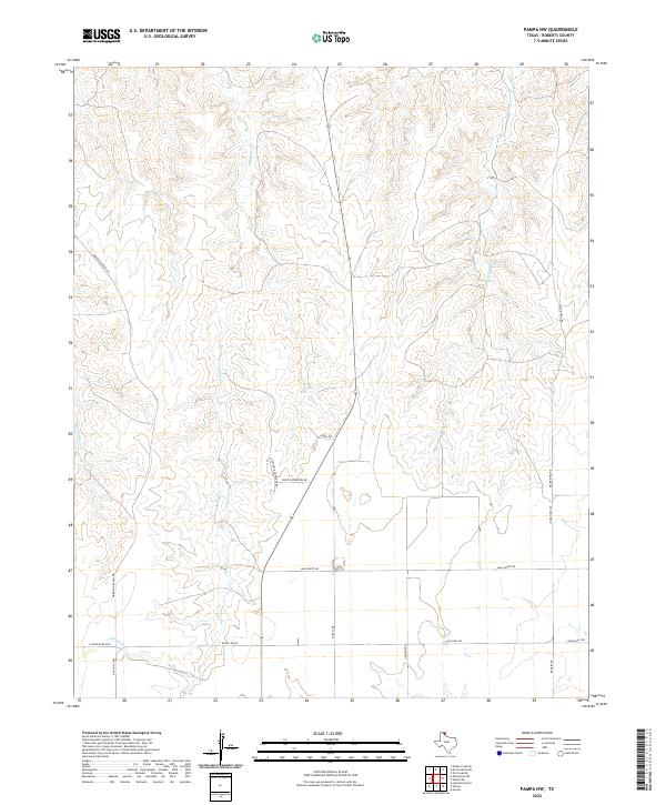
1971 Pampa NW
Roberts County, TX
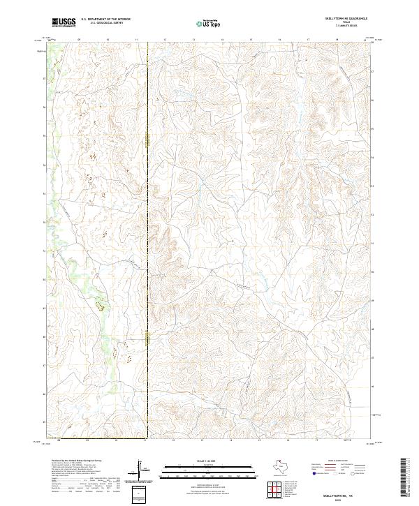
1971 Skellytown NE
Roberts County, TX
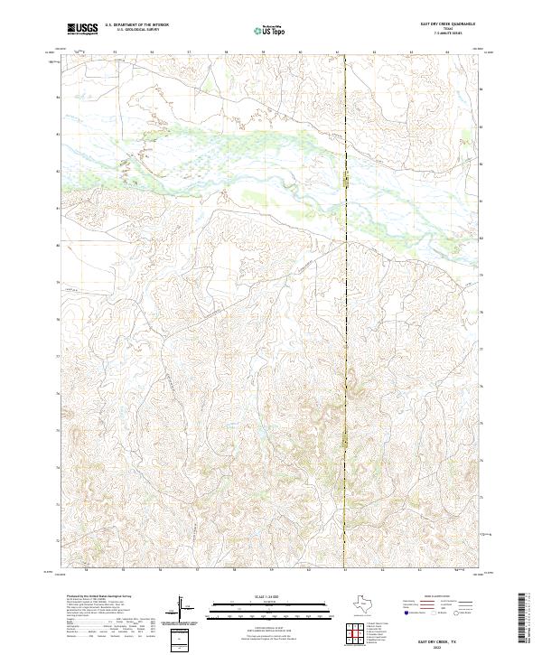
1972 East Dry Creek
Roberts County, TX
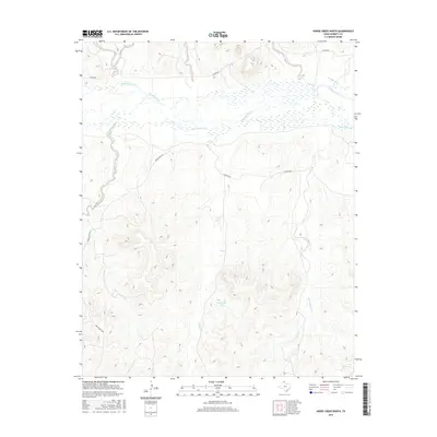
1972 Horse Creek North
Roberts County, TX
1972 Horse Creek South
Roberts County, TX
1972 Pampa NE
Roberts County, TX
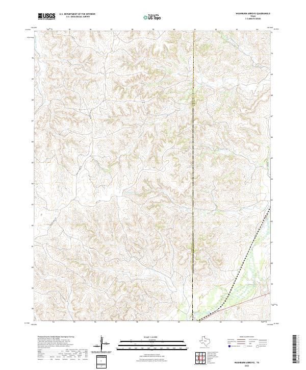
1972 Washburn Arroyo
Roberts County, TX
2010 Adobe Creek SE
Roberts County, TX
2010 Dry Creek NE
Roberts County, TX
2010 Dry Creek North
Roberts County, TX
2010 Dry Creek SE
Roberts County, TX
2010 Dry Creek South
Roberts County, TX
2010 East Dry Creek
Roberts County, TX
2010 Garden Springs
Roberts County, TX

2010 Horse Creek North
Roberts County, TX
2010 Horse Creek South
Roberts County, TX
2010 Lora
Roberts County, TX
2010 Pampa NE
Roberts County, TX
2010 Pampa NW
Roberts County, TX
2010 Skellytown NE
Roberts County, TX
2010 Washburn Arroyo
Roberts County, TX
2012 Adobe Creek SE
Roberts County, TX
2012 Dry Creek NE
Roberts County, TX
2012 Dry Creek North
Roberts County, TX
2012 Dry Creek SE
Roberts County, TX
2012 Dry Creek South
Roberts County, TX
2012 East Dry Creek
Roberts County, TX
2012 Garden Springs
Roberts County, TX
2012 Horse Creek North
Roberts County, TX
2012 Horse Creek South
Roberts County, TX

2012 Lora
Roberts County, TX
2012 Pampa NE
Roberts County, TX
2012 Pampa NW
Roberts County, TX
2012 Skellytown NE
Roberts County, TX
2012 Washburn Arroyo
Roberts County, TX
2016 Adobe Creek SE
Roberts County, TX
2016 Dry Creek NE
Roberts County, TX
2016 Dry Creek North
Roberts County, TX
2016 Dry Creek SE
Roberts County, TX
2016 Dry Creek South
Roberts County, TX
2016 East Dry Creek
Roberts County, TX
2016 Garden Springs
Roberts County, TX
2016 Horse Creek North
Roberts County, TX
2016 Horse Creek South
Roberts County, TX
2016 Lora
Roberts County, TX
2016 Pampa NE
Roberts County, TX
2016 Pampa NW
Roberts County, TX
2016 Skellytown NE
Roberts County, TX
2016 Washburn Arroyo
Roberts County, TX
2019 Adobe Creek SE
Roberts County, TX
2019 Dry Creek NE
Roberts County, TX
2019 Dry Creek North
Roberts County, TX
2019 Dry Creek SE
Roberts County, TX
2019 Dry Creek South
Roberts County, TX
2019 East Dry Creek
Roberts County, TX
2019 Garden Springs
Roberts County, TX
2019 Horse Creek North
Roberts County, TX
2019 Horse Creek South
Roberts County, TX

2019 Lora
Roberts County, TX
2019 Pampa NE
Roberts County, TX
2019 Pampa NW
Roberts County, TX
2019 Skellytown NE
Roberts County, TX
2019 Washburn Arroyo
Roberts County, TX

2022 Adobe Creek SE
Roberts County, TX
2022 Dry Creek NE
Roberts County, TX
2022 Dry Creek North
Roberts County, TX
2022 Dry Creek SE
Roberts County, TX
2022 Dry Creek South
Roberts County, TX
2022 East Dry Creek
Roberts County, TX
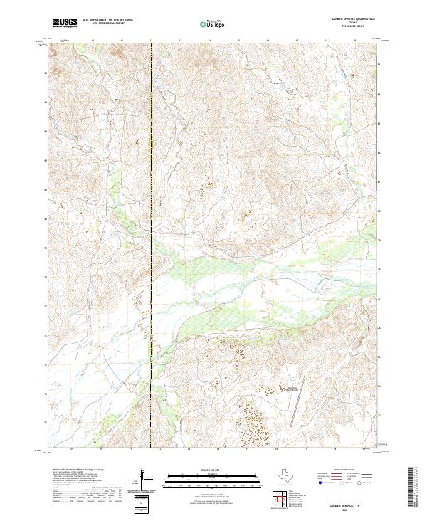
2022 Garden Springs
Roberts County, TX
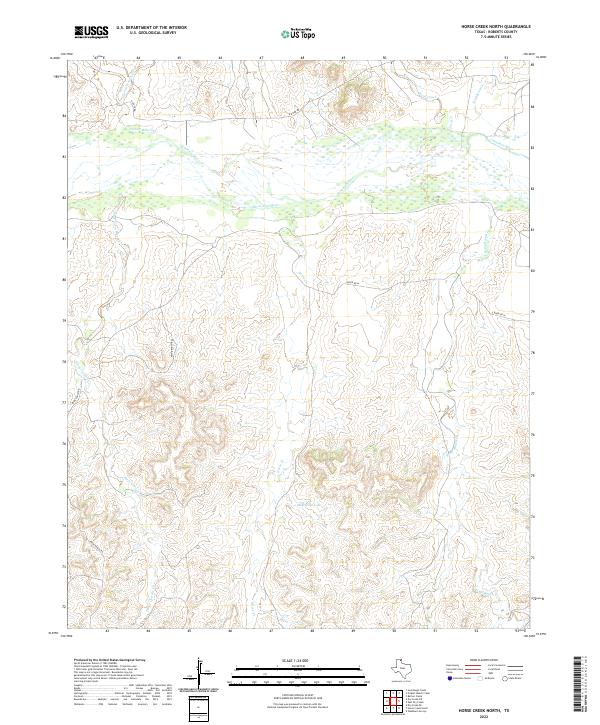
2022 Horse Creek North
Roberts County, TX
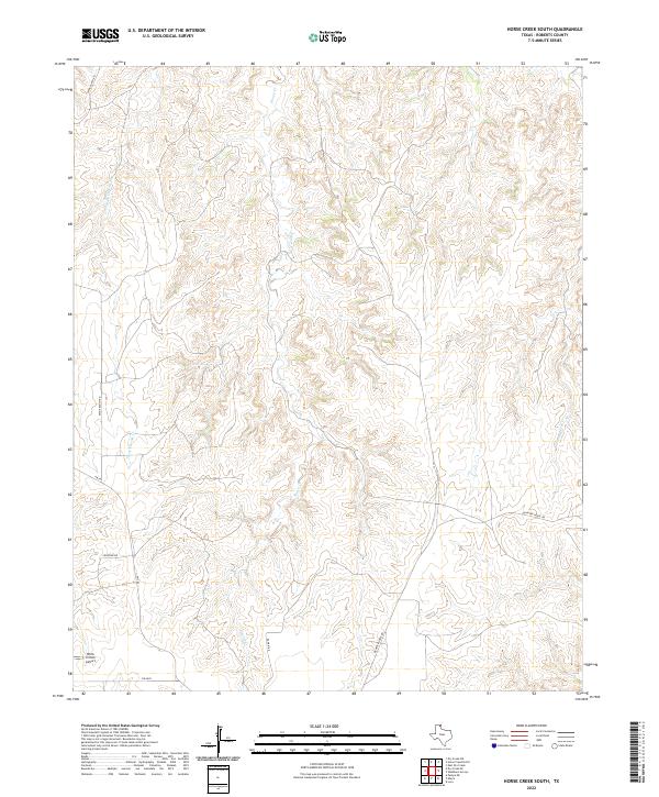
2022 Horse Creek South
Roberts County, TX
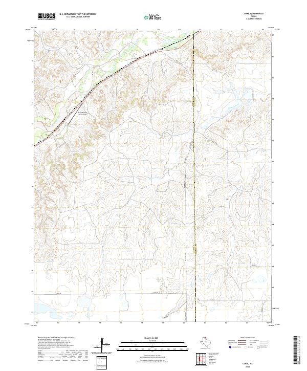
2022 Lora
Roberts County, TX
2022 Pampa NE
Roberts County, TX
2022 Pampa NW
Roberts County, TX
2022 Skellytown NE
Roberts County, TX
2022 Washburn Arroyo
Roberts County, TX