Old Maps of Johnson, Johnson City for Genealogy
Trace your family roots with 13 historic maps of Johnson. These high-res maps reveal old neighborhoods, homesites, landmarks, and streets — helping you uncover where your ancestors lived and how the area evolved over time.
- Explore historic neighborhoods: Identify where your relatives may have lived in the 1800s or 1900s.
- Compare maps over time: Trace the changes in streets, buildings, and landmarks for multi-generational research.
- Perfect for genealogy & ancestry research: Used by family historians and researchers to map out lineage and migration.
These maps are an incredible resource for exploring your personal connection to Johnson's past.
Johnson, Johnson City maps
(13)- 1900 Map of Syracuse
 1900 Syracuse1900 Print · USGSWestern Kansas at the turn of the century shows a frontier landscape shaped by the Arkansas River and the arriving railroad. Genealogists and researchers can locate early settlements like Hatton, Edwin, and Gognac along with the path of the Atchison Topeka and Santa Fe.5 unique versions available
 - 1920 Map of Syracuse
 1920 Syracuse1920 Print · USGSWestern Kansas at the close of the frontier era centers on the vital Arkansas River valley and the reach of the railroad. Genealogists and local historians can trace early prairie settlements like Gognac, Hatton, and Kendall along the Atchison Topeka and Santa Fe line.
 - 1955 Map of Dodge City, 1968 Print
 1955 Dodge City1968 Print · USGSSouthwest Kansas in the mid-fifties reveals an expansive landscape of cattle towns, early gas fields, and prairie outposts. Researchers can trace rural school districts like Moundview and Good Luck or locate the Kansas State Game Farm near Lakin.3 unique versions available
 - 1958 Map of Dodge City
 1958 Dodge City1958 Print · USGSSouthwest Kansas in the late fifties shows a landscape of river-valley agriculture and burgeoning energy infrastructure. Genealogists can trace rural life through numerous landmarks like Fairview Cemetery, the Goodwell School, and Concord Church.
 - 1959 Map of Dodge City
 1959 Dodge City1959 Print · USGSSouthwest Kansas in the mid-fifties is captured at its agricultural height, centered on the vital rail and river hubs of Dodge City and Garden City. Genealogists and local historians can trace rural school districts like Shockey School and Hickok School or locate the Fairview Cemetery.
 - 1973 Map of Johnson West, 1975 Print
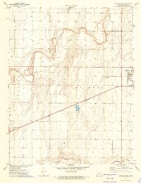 1973 Johnson West1975 Print · USGSStanton County at the dawn of the 1970s reveals a landscape defined by industrial agriculture and rail. Genealogists and historians can trace the outskirts of Johnson City and locate landmarks like the County Cemetery and Baughman.
 - 1985 Map of Ulysses
 1985 Ulysses1985 Print · USGSSouthwestern Kansas in the mid-1980s reveals a landscape shaped by massive gas fields and the life-giving waters of the Arkansas River. Genealogists and researchers can trace the rail towns of the Atchison Topeka and Santa Fe, locate the Syracuse Cem, or explore the rural routes of Sullivans Track and Columbian Track.
 - 1987 Map of Ulysses, 1988 Print
 1987 Ulysses1988 Print · USGSWestern Kansas at the end of the Cold War was a landscape defined by natural gas production and rail-fed agriculture. Trace the energy and transport networks connecting Ulysses, Big Bow, and the Arkansas River corridor along the Atchison Topeka and Santa Fe railroad.
 - 2010 Map of Johnson West, 2010 Print
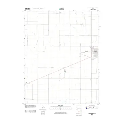 2010 Johnson West2010 Print · USGSStanton County at the turn of the decade displays the classic geometric precision of the High Plains agricultural grid. Researchers can trace the rural layout around Johnson, locating the County Cemetery and seasonal waterways like Sand Arroyo Creek.
 - 2012 Map of Johnson West, 2012 Print
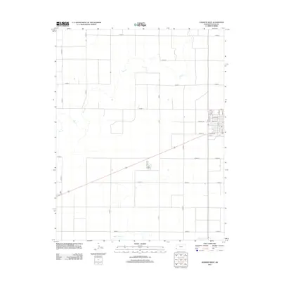 2012 Johnson West2012 Print · USGSThe western plains of Stanton County appear here in the early 21st century as a landscape of structured agricultural grids and prairie stream beds. Researchers can pinpoint the location of the PO, the local Cem, and rural routes like W Road 12.
 - 2015 Map of Johnson West, 2015 Print
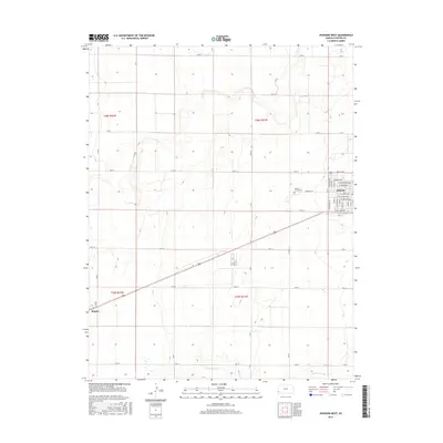 2015 Johnson West2015 Print · USGSStanton County at the turn of the twenty-first century reveals a landscape of precision-grid agriculture and quiet prairie settlements. Researchers can trace the town layouts of Johnson and Manter or locate the Stanton County Cem along Cemetery Rd.
 - 2018 Map of Johnson West, 2018 Print
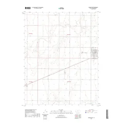 2018 Johnson West2018 Print · USGSStanton County at the end of the 2010s reveals a landscape of high-plains agriculture and small-town grit. Genealogists and local historians can trace the street grids of Johnson City and Manter or locate burials at the Stanton County Cem.
 - 2022 Map of Johnson West, 2022 Print
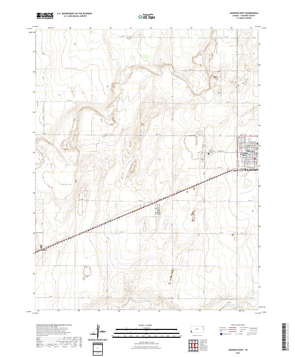 2022 Johnson West2022 Print · USGSWestern Kansas agricultural life and High Plains settlement patterns are visible in this recent survey of Stanton County. Genealogists can trace family connections at the Stanton County Cem or locate old property lines near Johnson City and Manter.
End of results
Showing maps 1-13 of 13
Top cities near Johnson
Frequently asked questions
- What are the different types of historical maps available for Johnson?
- What is the oldest map of Johnson?
- Where can I purchase historical maps of Johnson for my home or office?
- Where can I download high-res historical maps of Johnson?
- Are there historical topographic maps available for Johnson?
- Is there historical aerial imagery available for Johnson?
- Where are historical maps of Johnson sourced from?