Old Maps of Saunders, Kansas for Hiking & Exploration
Hike through history with 11 historic maps of Saunders. Explore old trails, ghost towns, and forgotten backroads — perfect for outdoor adventurers and local explorers.
- Rediscover forgotten places: Map out old mining camps, roads, and footpaths that no longer exist on modern maps.
- Layer with modern tools: Combine with LiDAR or satellite views to plan hikes through historical terrain.
- Made for exploration: Popular among hikers, overlanders, and local history lovers.
Use these maps to find adventure and explore the hidden past of Saunders.
Saunders, KS maps
(11)- 1892 Map of Vilas
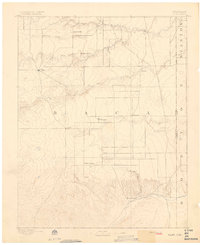 1892 Vilas1892 Print · USGSSoutheast Colorado and the Kansas borderland are shown here in the early 1890s, when ranching and the cattle trade dominated the high plains. Genealogists and historians can trace the Texas Trail and early settlements like Boston, Vilas, and Mathews Ranch.5 unique versions available
 - 1955 Map of La Junta, 1966 Print
 1955 La Junta1966 Print · USGSSoutheastern Colorado during the mid-fifties is captured here as a sprawling network of ranching outposts and rail sidings. Researchers can locate vanished landmarks like the Sunderland School, trace the isolated Lycan Post Office, or find the Bomb target (abandoned) on the western plains.3 unique versions available
 - 1958 Map of La Junta
 1958 La Junta1958 Print · USGSSoutheast Colorado and the Kansas borderlands appear in the late fifties as a landscape of isolated ranching outposts and vital rail junctions. Researchers can trace the lineage of vanished post offices and rural school sites like the Lycan Post Office and Sunderland School.2 unique versions available
 - 1968 Map of La Junta
 1968 La Junta1968 Print · USGSSoutheastern Colorado and the high plains appear in remarkable detail during the late 1960s, showing the intersection of irrigation, ranching, and rail. Genealogists can trace family footprints at the Lycan Post Office, Konantz Cem, and across numerous named cattle ranches.
 - 1979 Map of Saunders
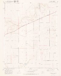 1979 Saunders1979 Print · USGSThe high plains border of Kansas and Colorado in the late 1970s is a landscape of remote rail stops and ephemeral creek beds. Trace the path of the Atchison Topeka and Santa Fe through Saunders or locate the Konantz Cem near the state line.
 - 1984 Map of Springfield
 1984 Springfield1984 Print · USGSThe high plains of Colorado and the neighboring corners of Kansas and Oklahoma are captured here in the mid-1980s. Genealogists and historians can trace the rail-tied growth of Springfield and Walsh or locate rural outposts like Bisonte, Edler, and Kirkwell.
 - 2010 Map of Saunders, 2010 Print
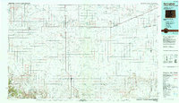
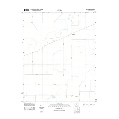
 2010 Saunders2010 Print · USGSCovers Saunders, including Stanton County, Baca County, and other nearby areas
 - 2012 Map of Saunders, 2012 Print
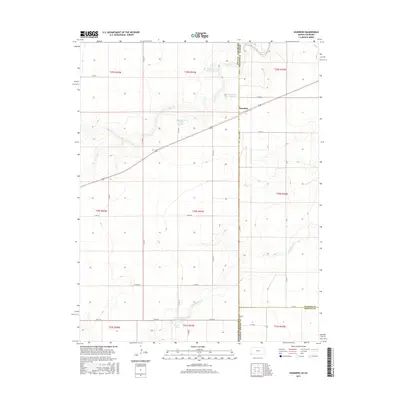
 2012 Saunders2012 Print · USGSCovers Saunders, including Stanton County, Baca County, and other nearby areas
 - 2015 Map of Saunders, 2015 Print
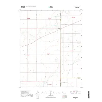
 2015 Saunders2015 Print · USGSCovers Saunders, including Stanton County, Baca County, and other nearby areas
 - 2018 Map of Saunders, 2018 Print
 2018 Saunders2018 Print · USGSCovers Saunders, including Stanton County, Baca County, and other nearby areas
 - 2022 Map of Saunders, 2022 Print
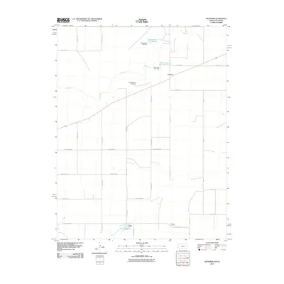
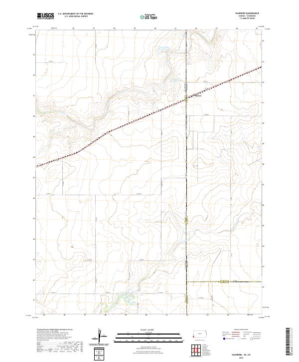 2022 Saunders2022 Print · USGSThe Kansas-Colorado borderlands are documented here in the early twenty-first century, centered on the small community of Saunders. Researchers can trace the drainage of Bear Creek and locate water features like Hoopengarner SW-4 Reservoir and Burchfield Lake.
End of results
Showing maps 1-11 of 11
Top cities near Saunders
Frequently asked questions
- What are the different types of historical maps available for Saunders?
- What is the oldest map of Saunders?
- Where can I purchase historical maps of Saunders for my home or office?
- Where can I download high-res historical maps of Saunders?
- Are there historical topographic maps available for Saunders?
- Is there historical aerial imagery available for Saunders?
- Where are historical maps of Saunders sourced from?