Old Maps of Brewster, Kansas
Explore 16 old maps of Brewster, spanning from 1954 to today. These high-resolution historic maps reveal how streets, neighborhoods, landmarks, and natural features evolved over time — perfect for genealogy, metal detecting, research, and local history exploration.
What you can do with these maps:
- See how Brewster changed over time: Compare historical maps to modern-day views to trace roads, homesites, rail lines & more.
- View detailed metadata: Each map includes creators, publishers, year, scale, and archive source.
- Overlay maps with satellite & LiDAR: Visualize the past alongside modern tools to explore terrain & human change.
- Trusted historical sources: Maps sourced from the USGS, Library of Congress, and other archives.
- Access maps your way: View online, download high-res files, or order prints for personal or research use.
Start exploring old maps of Brewster to uncover forgotten places, hidden landmarks, and the deep history beneath your feet.
Brewster, KS maps
(16)- 1954 Map of Goodland, 1976 Print
 1954 Goodland1976 Print · USGSNorthwest Kansas comes into focus during the mid-1950s, showing a landscape defined by its vital river forks and thriving rail towns. Researchers can trace the path of the Union Pacific through Colby or locate historic parks like Sheridan Co State Park.
 - 1956 Map of Goodland
 1956 Goodland1956 Print · USGSThe high plains of Northwest Kansas in the mid-fifties reveal a landscape of river-fed agriculture and expanding rail networks. Genealogists and historians can trace the development of county seats like Goodland and Atwood or locate landmarks such as the Arikaree Breaks.
 - 1957 Map of Goodland
 1957 Goodland1957 Print · USGSNorthwest Kansas in the mid-1950s shows a landscape of high plains agriculture and vital rail junctions. Researchers can trace the river-valley settlements from Goodland to Oberlin and follow the paths of the Union Pacific and Sappa Creek.2 unique versions available
 - 1966 Map of Brewster, 1968 Print
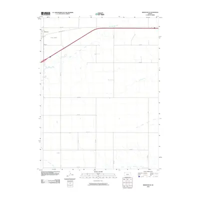
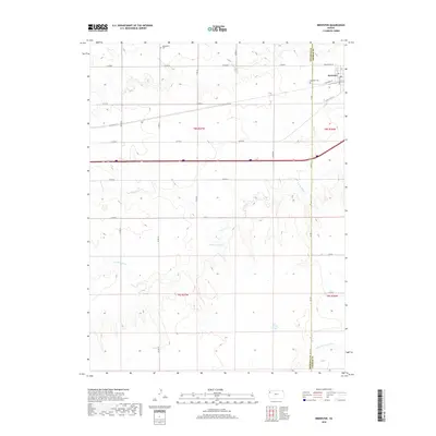
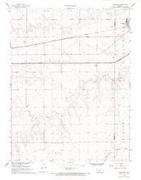 1966 Brewster1968 Print · USGSBrewster sits at the junction of rail and road during a period of high-plains modernization in the mid-sixties. Genealogists can locate Fairview Cem and trace the original path of the Chicago Rock Island and Pacific railroad.2 unique versions available
 - 1966 Map of Brewster SE, 1968 Print
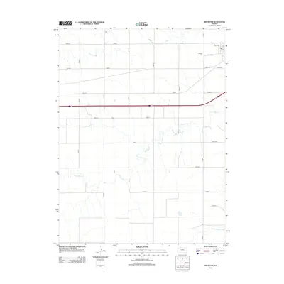
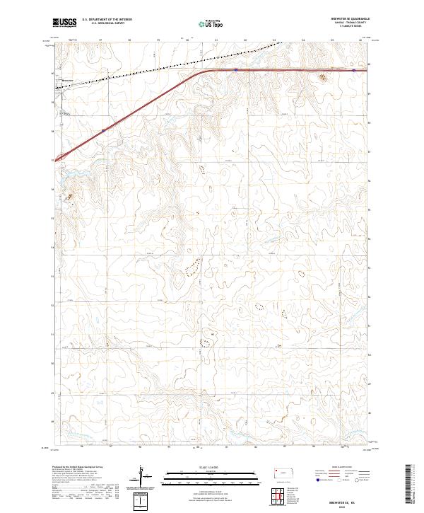
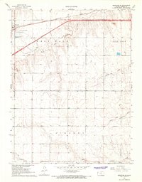 1966 Brewster SE1968 Print · USGSThomas County at the height of the mid-century highway boom reveals the transformation of the High Plains as Interstate 70 was still UNDER CONSTRUCTION. Researchers can trace the path of the CHICAGO ROCK ISLAND AND PACIFIC railroad and locate local landmarks like HUTTON AIRPORT.
 - 1985 Map of Goodland
 1985 Goodland1985 Print · USGSSherman and Thomas counties appear in the mid-1980s as a vital transportation and agricultural corridor across the Kansas High Plains. Researchers can trace the rail-side growth of Ruleton, Edson, and Levant or locate landmarks like Colby Jr College and Soldiers Memorial County Park.2 unique versions available
 - 2009 Map of Brewster, 2009 Print
 2009 Brewster2009 Print · USGSCovers Brewster, including Laro, Bower Power, and other nearby areas
 - 2009 Map of Brewster SE, 2009 Print
 2009 Brewster SE2009 Print · USGSCovers Brewster, including Thomas County, United States, and other nearby areas
 - 2012 Map of Brewster, 2012 Print
 2012 Brewster2012 Print · USGSCovers Brewster, including Laro, Bower Power, and other nearby areas
 - 2012 Map of Brewster SE, 2012 Print
 2012 Brewster SE2012 Print · USGSCovers Brewster, including Thomas County, United States, and other nearby areas
 - 2015 Map of Brewster, 2015 Print
 2015 Brewster2015 Print · USGSCovers Brewster, including Laro, Bower Power, and other nearby areas
 - 2015 Map of Brewster SE, 2015 Print
 2015 Brewster SE2015 Print · USGSCovers Brewster, including Thomas County, United States, and other nearby areas
 - 2018 Map of Brewster SE, 2018 Print
 2018 Brewster SE2018 Print · USGSCovers Brewster, including Thomas County, United States, and other nearby areas
 - 2018 Map of Brewster, 2018 Print
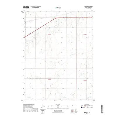
 2018 Brewster2018 Print · USGSCovers Brewster, including Laro, Bower Power, and other nearby areas
 - 2022 Map of Brewster SE, 2022 Print
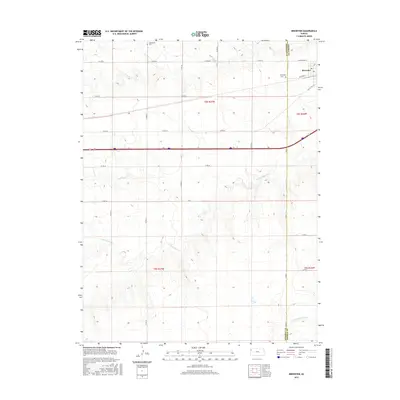
 2022 Brewster SE2022 Print · USGSWestern Kansas agricultural lands and the headwaters of the Solomon and Sappa river systems are documented here in the early 2020s. Researchers can trace historical routes like Old US Hwy 24 near Brewster and follow the paths of Prairie Dog Cr and the S Fork Solomon River.
 - 2022 Map of Brewster, 2022 Print
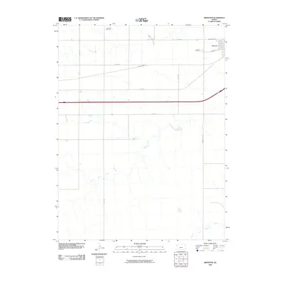
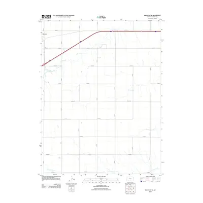
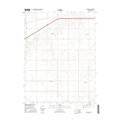
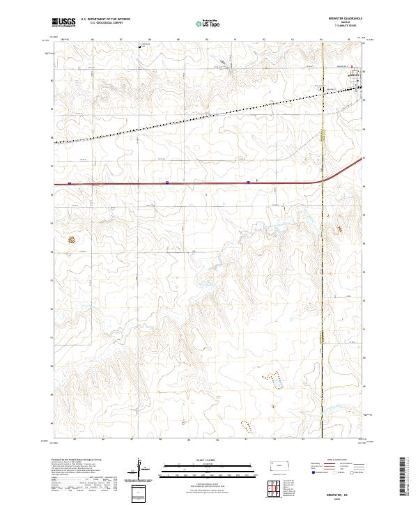 2022 Brewster2022 Print · USGSThe High Plains of western Kansas are documented here in the early twenty-first century, centered on the settlement of Brewster. Researchers can trace county-line histories and local burials at Brewster Cem, Hollenbeck Cem, and the banks of South Fork Sappa Creek.
End of results
Showing maps 1-16 of 16
Frequently asked questions
- What are the different types of historical maps available for Brewster?
- What is the oldest map of Brewster?
- Where can I purchase historical maps of Brewster for my home or office?
- Where can I download high-res historical maps of Brewster?
- Are there historical topographic maps available for Brewster?
- Is there historical aerial imagery available for Brewster?
- Where are historical maps of Brewster sourced from?