Old Maps of Wallace, Wallace Township for Genealogy
Trace your family roots with 10 historic maps of Wallace. These high-res maps reveal old neighborhoods, homesites, landmarks, and streets — helping you uncover where your ancestors lived and how the area evolved over time.
- Explore historic neighborhoods: Identify where your relatives may have lived in the 1800s or 1900s.
- Compare maps over time: Trace the changes in streets, buildings, and landmarks for multi-generational research.
- Perfect for genealogy & ancestry research: Used by family historians and researchers to map out lineage and migration.
These maps are an incredible resource for exploring your personal connection to Wallace's past.
Wallace, Wallace Township maps
(10)- 1955 Map of Scott City, 1969 Print
 1955 Scott City1969 Print · USGSWestern Kansas in the mid-fifties is captured here as a landscape of rural schoolhouses and significant rail corridors. Family historians can trace the locations of Skyline and Beaver Creek Schools or follow the Union Pacific line through Oakley and Sharon Springs.4 unique versions available
 - 1958 Map of Scott City
 1958 Scott City1958 Print · USGSWestern Kansas at the peak of the post-war era reveals a landscape of high-plains agriculture and vital rail junctions. Genealogists and historians can trace old country school sites like Prairie Bell School, the landmark Chalk Pyramids, and small stops along the Union Pacific and Missouri Pacific.
 - 1959 Map of Wallace, 1960 Print
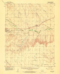 1959 Wallace1960 Print · USGSWallace County in the late fifties was defined by its railroad heritage and the deep drainage of the Smoky Hill River. You can trace the Union Pacific line from Sharon Springs to Wallace, locating landmarks like the Dinas Ch, Wallace Cem, and Big Lagoon.
 - 1979 Map of Wallace, 1980 Print
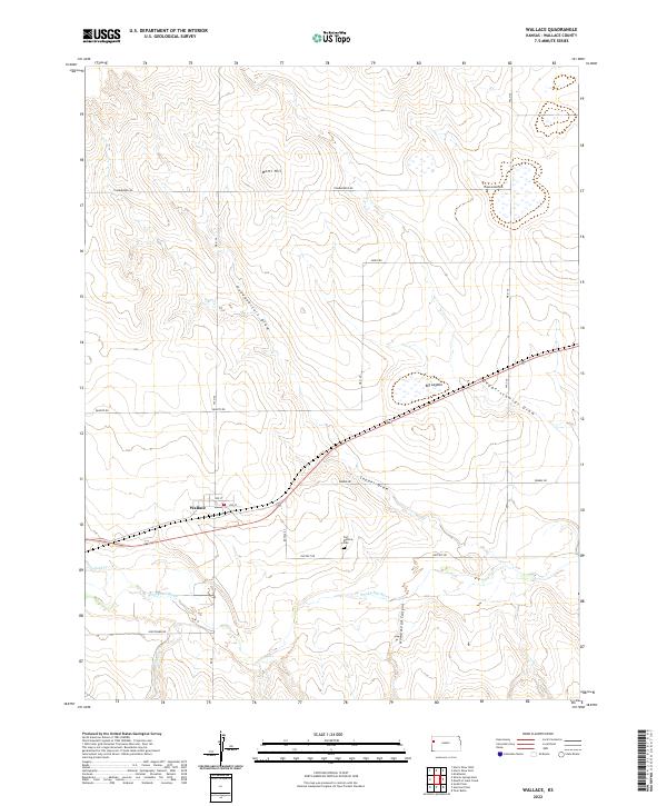
 1979 Wallace1980 Print · USGSThe High Plains around Wallace are shown here in the late seventies, a landscape deeply marked by its frontier history and rail-and-river geography. Researchers can locate the Butterfield Overland Trail, the Fort Wallace (Site), and the local Wallace Cem.
 - 1985 Map of Sharon Springs
 1985 Sharon Springs1985 Print · USGSWestern Kansas at the mid-eighties reveals a landscape shaped by the Union Pacific and the historic Butterfield Overland Trail. Researchers can trace the frontier legacy of the Fort Wallace (site) and explore rural landmarks from Weskan to Russell Springs.2 unique versions available
 - 2009 Map of Wallace, 2009 Print
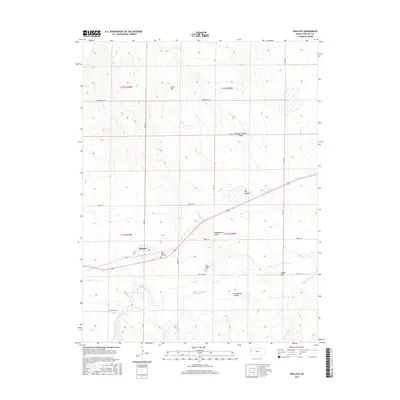
 2009 Wallace2009 Print · USGSCovers Wallace, including Wallace Township, Wallace County, and other nearby areas
 - 2012 Map of Wallace, 2012 Print
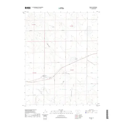
 2012 Wallace2012 Print · USGSCovers Wallace, including Wallace Township, Wallace County, and other nearby areas
 - 2015 Map of Wallace, 2015 Print
 2015 Wallace2015 Print · USGSCovers Wallace, including Wallace Township, Wallace County, and other nearby areas
 - 2018 Map of Wallace, 2018 Print
 2018 Wallace2018 Print · USGSCovers Wallace, including Wallace Township, Wallace County, and other nearby areas
 - 2022 Map of Wallace, 2022 Print
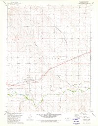
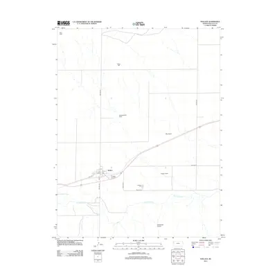
 2022 Wallace2022 Print · USGSWallace and the surrounding High Plains are captured in this modern survey, reflecting a landscape defined by the Smoky Hill River. Genealogists and historians can trace local landmarks such as the Fort Wallace Cem and the nearby Big Lagoon.
End of results
Showing maps 1-10 of 10
Top cities near Wallace
Frequently asked questions
- What are the different types of historical maps available for Wallace?
- What is the oldest map of Wallace?
- Where can I purchase historical maps of Wallace for my home or office?
- Where can I download high-res historical maps of Wallace?
- Are there historical topographic maps available for Wallace?
- Is there historical aerial imagery available for Wallace?
- Where are historical maps of Wallace sourced from?