Old Maps of Guilford, Kansas for Academic Research
Study the evolution of Guilford with 18 high-resolution historic maps. Whether you're teaching, researching, or modeling changes in land use, these maps provide essential visual documentation of urban, environmental, and geographic change.
- Analyze long-term change: Track patterns in development, transportation, and natural features.
- Ideal for environmental or urban studies: Support academic projects with primary historical map data.
- Use in the classroom or lab: Educators and researchers rely on these maps to bring historical context to life.
These maps are a powerful tool for teaching, research, and visualizing how Guilford has changed over the decades.
Guilford, KS maps
(18)- 1886 Map of Fredonia
 1886 Fredonia1886 Print · USGSSoutheast Kansas in the mid-1880s was a land of emerging rail hubs and river valley settlements. Researchers can trace early railroad expansion through Fredonia and Yates Center or locate long-standing communities like Toronto, New Albany, and Coyville.
 - 1894 Map of Fredonia
 1894 Fredonia1894 Print · USGSSoutheast Kansas is documented here during a period of rapid railway expansion and prairie settlement. Genealogists and local researchers can trace the early footprints of Fredonia, Yates Center, and vanished sites like Twin Mounds or Coyville.6 unique versions available
 - 1938 Map of Altoona, 1966 Print
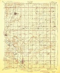
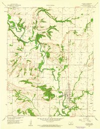
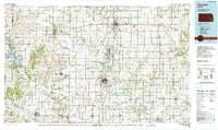
 1938 Altoona1966 Print · USGSSoutheast Kansas in the late thirties was a landscape of dense rural communities and winding river valleys. Researchers can trace family history through dozens of named country schoolhouses like Ninety Nine Sch and Five Mounds Sch, or locate family plots at Buffalo Cem.
 - 1939 Map of Altoona
 1939 Altoona1939 Print · USGSSoutheast Kansas is shown at its rural peak in the late thirties, when the Verdigris River valley was dotted with small schoolhouses and family farms. Researchers can locate numerous local landmarks like Sorghum Valley Sch, Buffalo Cem, and the crossing at Barnhill Bridge.
 - 1943 Map of Altoona
 1943 Altoona1943 Print · USGSSoutheast Kansas comes alive in the late thirties as a landscape of river-valley farms and rail-connected towns. Genealogists can trace family roots through an exceptional density of country schools and churches, from Ninety Nine Sch to the Vilas Bethel Ch.2 unique versions available
 - 1947 Map of Joplin, 1954 Print
 1947 Joplin1954 Print · USGSThe borderlands of Missouri, Kansas, and Oklahoma are shown here during the late 1940s, a period of heavy industrial and military activity. Researchers can trace the extensive Tri-State Mining District, the layout of Camp Crowder, and local landmarks like Mount Hope Cem.
 - 1949 Map of Joplin
 1949 Joplin1949 Print · USGSThe Kansas-Missouri borderlands thrive in the late 1940s, showing a robust network of railroad towns and river valleys. Researchers can trace historic rail lines like the Missouri Pacific RR and locate rural centers such as Chanute, Iola, and Fort Scott.
 - 1954 Map of Joplin, 1967 Print
 1954 Joplin1967 Print · USGSThe tri-state border region of Kansas, Missouri, and Oklahoma is captured here during a peak era of mid-century industrial and agricultural activity. Researchers can trace family history through dozens of rural cemeteries or locate landmarks like the Kansas Army Ammunition Plant and Pittsburg State University.3 unique versions available
 - 1958 Map of Joplin
 1958 Joplin1958 Print · USGSThe tri-state border region of Missouri, Kansas, and Oklahoma is shown during the late fifties, a time of heavy rail traffic and mining activity. Local historians can trace the industrial landscape through the Joplin & Pittsburg Ry or locate family sites like Zion Ch and Bender Mounds.
 - 1959 Map of Joplin
 1959 Joplin1959 Print · USGSThe Tri-State region’s mining and rail-driven economy is on full display in the late fifties. Genealogists can locate Lead and Zinc Mines near Joplin, family markers at Oak Hill Cem, and military history at Camp Clark.
 - 1959 Map of Altoona, 1960 Print
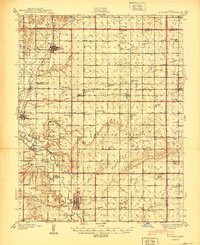
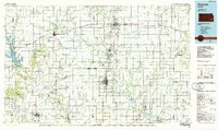
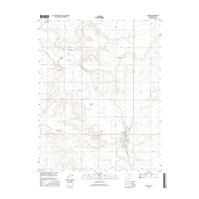
 1959 Altoona1960 Print · USGSWilson County at the end of the 1950s is captured here as a landscape of river-bend settlements and active energy production. Genealogists and local historians can trace the homesteads near Harmony Sch, follow the Missouri Pacific rail line, or locate early Oil Wells and the Guilford Bridge.3 unique versions available
 - 1985 Map of Chanute, 1986 Print
 1985 Chanute1986 Print · USGSSoutheast Kansas in the mid-1980s reveals a robust landscape of river-valley agriculture and intersecting rail lines through Neosho and Allen counties. Genealogists and local historians can trace family roots through small settlements like Piqua, locate the Mt Hope Cem, or follow the path of the Old Indian Treaty Boundary.
 - 1990 Map of Chanute
 1990 Chanute1990 Print · USGSSoutheast Kansas at the start of the nineties reveals a landscape of river-valley towns and agricultural hubs. Researchers can trace the paths of the Missouri Pacific RR through Iola or locate family roots near Savonburg, Thayer, and Buffalo.
 - 2010 Map of Altoona, 2010 Print
 2010 Altoona2010 Print · USGSCovers Guilford, including Altoona, Benedict, and other nearby areas
 - 2012 Map of Altoona, 2012 Print
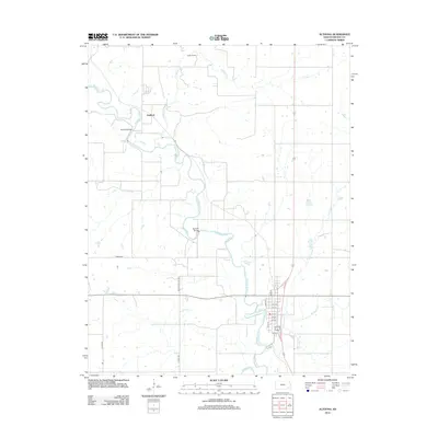 2012 Altoona2012 Print · USGSCovers Guilford, including Altoona, Benedict, and other nearby areas
 - 2015 Map of Altoona, 2015 Print
 2015 Altoona2015 Print · USGSCovers Guilford, including Altoona, Benedict, and other nearby areas
 - 2018 Map of Altoona, 2018 Print
 2018 Altoona2018 Print · USGSCovers Guilford, including Altoona, Benedict, and other nearby areas
 - 2022 Map of Altoona, 2022 Print
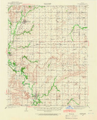
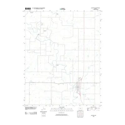
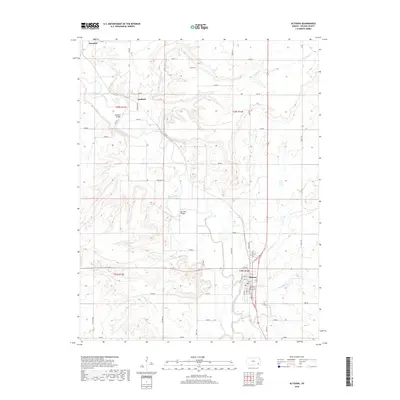
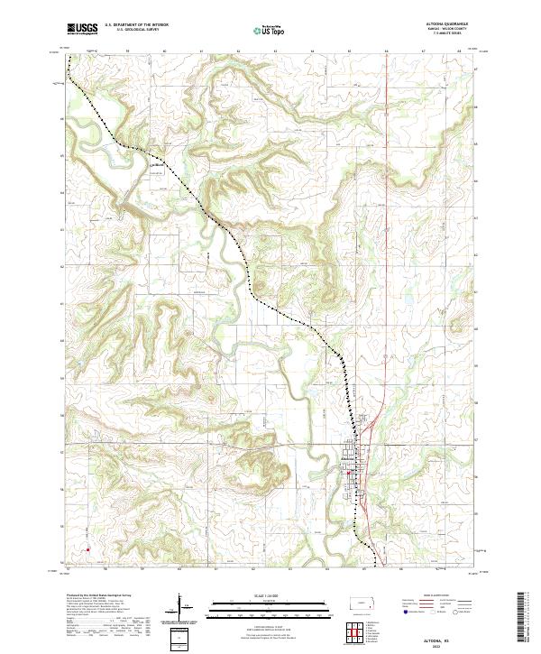 2022 Altoona2022 Print · USGSAltoona and its surrounding river valley are captured here in the early 2020s, showcasing the traditional grid of this Wilson County hub. Genealogists and local historians can trace the town layout from Main St to 13th St, and locate the small riverside settlement of Guilford.
End of results
Showing maps 1-18 of 18
Top cities near Guilford
- Parsons historical maps
- Chanute historical maps
- Neodesha historical maps
- Fredonia historical maps
- Thayer historical maps
- Altoona historical maps
See more
Frequently asked questions
- What are the different types of historical maps available for Guilford?
- What is the oldest map of Guilford?
- Where can I purchase historical maps of Guilford for my home or office?
- Where can I download high-res historical maps of Guilford?
- Are there historical topographic maps available for Guilford?
- Is there historical aerial imagery available for Guilford?
- Where are historical maps of Guilford sourced from?