Old Maps of Bristletown, Kentucky for Academic Research
Study the evolution of Bristletown with 11 high-resolution historic maps. Whether you're teaching, researching, or modeling changes in land use, these maps provide essential visual documentation of urban, environmental, and geographic change.
- Analyze long-term change: Track patterns in development, transportation, and natural features.
- Ideal for environmental or urban studies: Support academic projects with primary historical map data.
- Use in the classroom or lab: Educators and researchers rely on these maps to bring historical context to life.
These maps are a powerful tool for teaching, research, and visualizing how Bristletown has changed over the decades.
Bristletown, KY maps
(11)- 1953 Map of Glasgow South, 1954 Print
 1953 Glasgow South1954 Print · USGSBarren County south of Glasgow comes alive in the early fifties, showing a rural landscape of family-named schools and small farming hamlets. Trace local roots through Bartow Cem, the old Cedar Grove Sch, or the streets of Pritchardsville.
 - 1956 Map of Corbin, 1966 Print
 1956 Corbin1966 Print · USGSThe Kentucky and Tennessee borderlands are captured here in the mid-fifties, showing the region's shift toward modern interstate travel and reservoir development. Genealogists and historians can trace old community lines near Albany and Monticello or locate early rail junctions along the Southern and Tennessee Central lines.3 unique versions available
 - 1958 Map of Corbin
 1958 Corbin1958 Print · USGSThe Upper Cumberland borderlands appear in the late 1950s as massive reservoirs and early atomic-era growth reshape the region. Trace family roots and vanished landmarks near Lake Cumberland, Oak Ridge, and the Cumberland National Forest.
 - 1965 Map of Glasgow South, 1967 Print
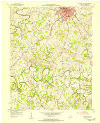
 1965 Glasgow South1967 Print · USGSBarren County during the mid-sixties shows the growth of Glasgow alongside a robust rural petroleum economy. Genealogists and local historians can trace family locations near Pritchardsville, Barlow Cem, and schools like Bunche High Sch.
 - 1973 Map of Glasgow South, 1975 Print
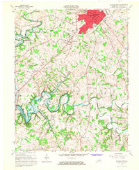
 1973 Glasgow South1975 Print · USGSMid-century Barren County shows the growth of Glasgow and the surrounding rural communities of Bristletown and Haywood during a period of industrial change. Genealogists can locate family landmarks like Sloan Ch, Terry Sch, and the South Fork Cem.2 unique versions available
 - 1985 Map of Tompkinsville, 1986 Print
 1985 Tompkinsville1986 Print · USGSThe Kentucky-Tennessee borderlands come into focus in the mid-1980s, showcasing a landscape of river-fed valleys and rural crossroads. Genealogists and local historians can trace family locations from Glasgow and Edmonton to the distinctively named Eighty Eight, Bugtussle, and Akersville.2 unique versions available
 - 2010 Map of Glasgow South, 2010 Print
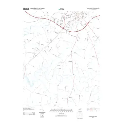
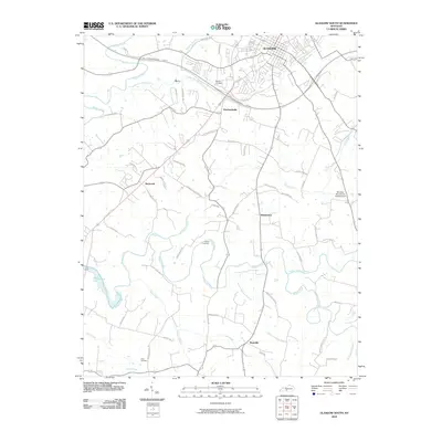 2010 Glasgow South2010 Print · USGSCovers Bristletown, including Glasgow, Pritchardsville, and other nearby areas
 - 2013 Map of Glasgow South, 2013 Print
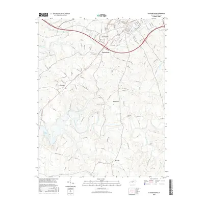
 2013 Glasgow South2013 Print · USGSCovers Bristletown, including Glasgow, Pritchardsville, and other nearby areas
 - 2016 Map of Glasgow South, 2016 Print
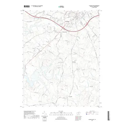
 2016 Glasgow South2016 Print · USGSCovers Bristletown, including Glasgow, Pritchardsville, and other nearby areas
 - 2019 Map of Glasgow South, 2019 Print
 2019 Glasgow South2019 Print · USGSCovers Bristletown, including Glasgow, Pritchardsville, and other nearby areas
 - 2022 Map of Glasgow South, 2022 Print
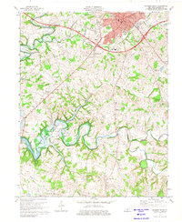
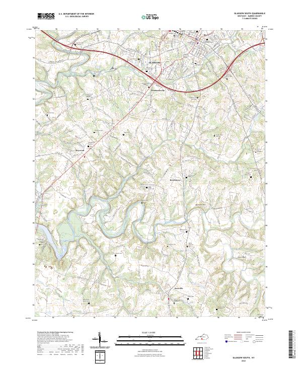 2022 Glasgow South2022 Print · USGSBarren County in the early 2020s shows a complex mix of modern civic development and deep-rooted rural history. Family historians can trace numerous sites like South Fork Baptist Church Cem, Bristletown, and the Barren County Courthouse.
End of results
Showing maps 1-11 of 11
Top cities near Bristletown
- Glasgow historical maps
- Tompkinsville historical maps
- Cave City historical maps
- Horse Cave historical maps
- Park City historical maps
- Fountain Run historical maps
Frequently asked questions
- What are the different types of historical maps available for Bristletown?
- What is the oldest map of Bristletown?
- Where can I purchase historical maps of Bristletown for my home or office?
- Where can I download high-res historical maps of Bristletown?
- Are there historical topographic maps available for Bristletown?
- Is there historical aerial imagery available for Bristletown?
- Where are historical maps of Bristletown sourced from?