2020s Maps of Boyd County, Kentucky
Explore 10 historic maps of Boyd County from the 2020s. These maps offer a rare glimpse into what life looked like during the 2020s — showing old roads, neighborhoods, homes, and landmarks that have changed or disappeared over time.
Whether you're researching your family's past, planning a metal detecting trip, or studying how Boyd County's landscape evolved across the 2020s, these high-resolution maps are a powerful tool for exploring the history of this region.
- Focus on a specific era: All maps on this page are from the 2020s, giving you a focused view of this time period.
- See what’s changed: Compare century-old streets, trails, and buildings to today's modern landscape using overlays and satellite layers.
- Research with precision: Use these maps for genealogy, historical research, land use analysis, or educational projects.
- View, download, or print: Maps are fully viewable online in high resolution, and can be downloaded or printed for your own records.
Start exploring Boyd County's history through authentic maps from the 2020s. This is your window into the past.
Boyd County, KY maps
(10)- 2022 Map of Catlettsburg, 2022 Print
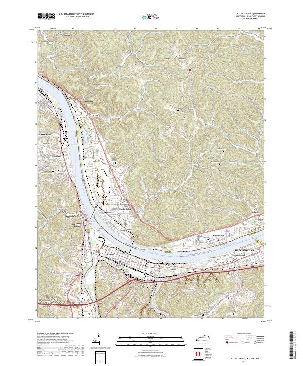 2022 Catlettsburg2022 Print · USGSThe tristate confluence of Kentucky, Ohio, and West Virginia is captured here in the early 2020s as the riverfront communities of Catlettsburg and Kenova continue their long industrial legacy. Researchers can trace family history through McComas Family Cem and Highland Memorial Gardens or locate regional landmarks like Tri-State Bible College and Chimney Rock.
 - 2022 Map of Burnaugh, 2022 Print
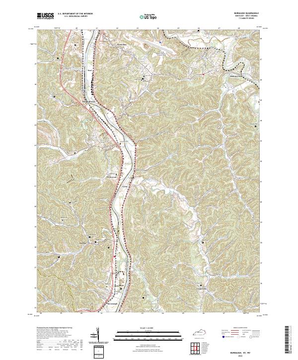 2022 Burnaugh2022 Print · USGSThe Big Sandy River valley at the Kentucky and West Virginia border is shown here as it appears today. Researchers can locate many family burial sites like Lockwood Cem and Thacker Cem near settlements at Burnaugh and Cyrus.
 - 2022 Map of Ashland, 2022 Print
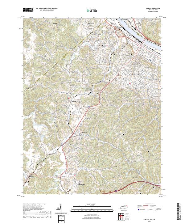 2022 Ashland2022 Print · USGSAshland and the Ohio River valley are shown in modern detail during the early 2020s as the region continues to grow inland. Researchers can locate many local burial sites and family landmarks like Rose Hill Burial Park, Steele Cem, and the community of Ironville.
 - 2022 Map of Fallsburg, 2022 Print
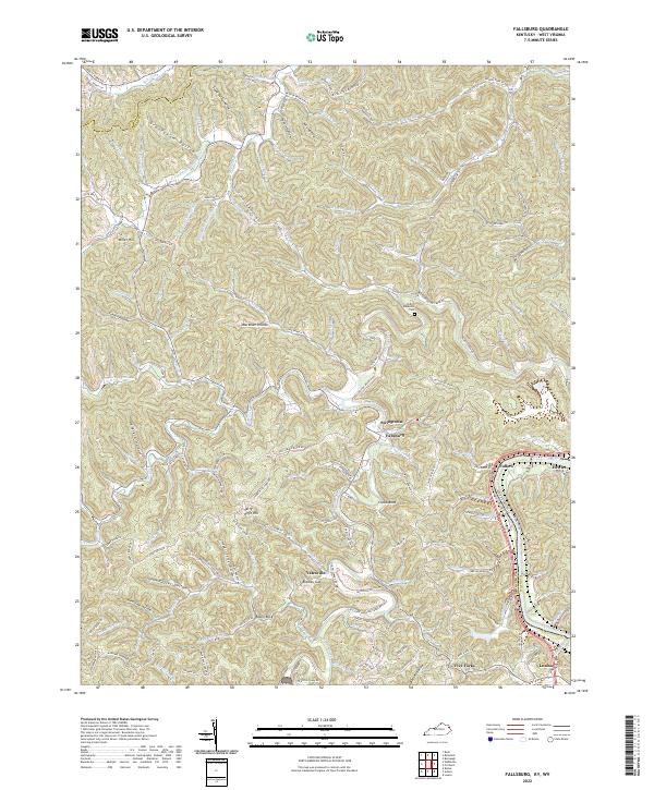 2022 Fallsburg2022 Print · USGSLawrence County, Kentucky, and the West Virginia border meet along the Big Sandy River in this modern survey of the Appalachian foothills. Researchers can trace family roots through the Patton Memorial Cem or locate old home sites near Fallsburg, Fullers, and Stringtown.
 - 2022 Map of Boltsfork, 2022 Print
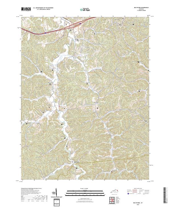 2022 Boltsfork2022 Print · USGSEastern Kentucky's rugged creek valleys and family burial grounds are meticulously documented in this contemporary survey of Boyd County. Genealogists and local historians can trace hundreds of rural landmarks including Boltsfork, the Queen Cem, and the East Fork Little Sandy River.
 - 2022 Map of Webbville, 2022 Print
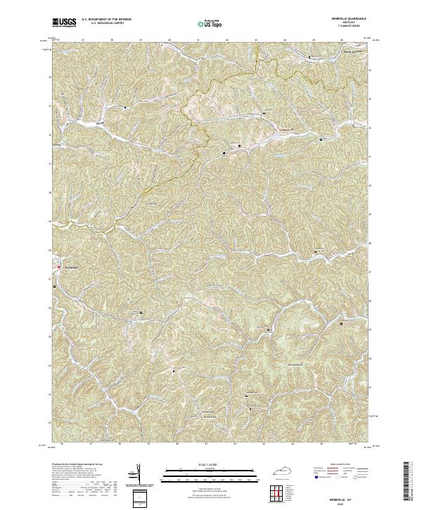 2022 Webbville2022 Print · USGSEastern Kentucky's ridge-and-hollow terrain is meticulously documented here during the early twenty-first century. Genealogists can trace family footprints across numerous sites like the James C Webb Cem, Jordan Cem, and the settlement of Webbville.
 - 2022 Map of Rush, 2022 Print
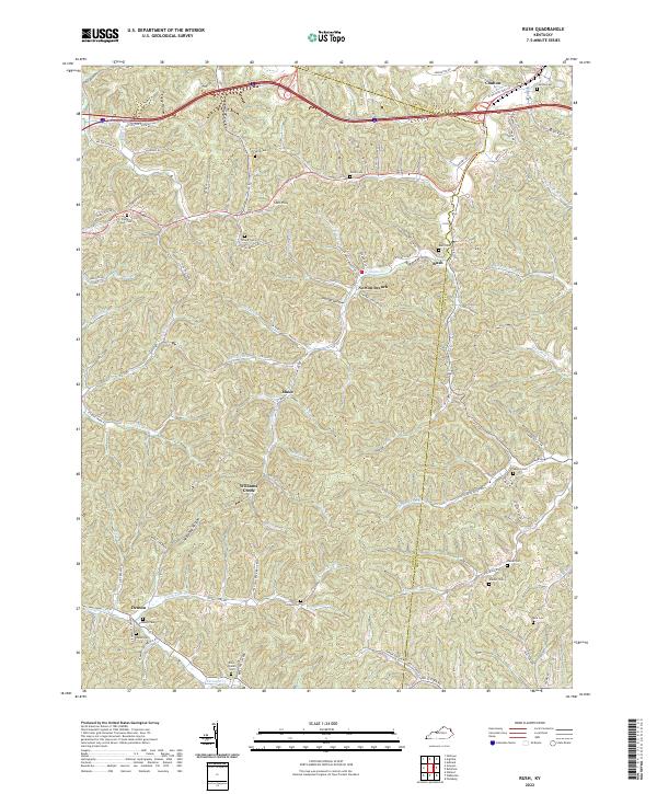 2022 Rush2022 Print · USGSThe border of Carter and Boyd Counties in the 2020s remains a landscape of deep hollows and family-named landmarks. Genealogists can trace numerous local burial sites like Rice Queen Cemetery and Klaiber Cemetery near the crossroads of Denton and Rush.
 - 2023 Map of Ironton, 2023 Print
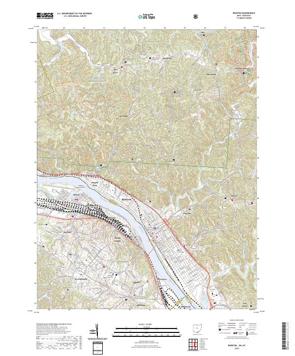 2023 Ironton2023 Print · USGSThe Ohio River valley and its industrial corridor are captured here, from the streets of Ironton to the ridges of the Wayne National Forest. Genealogists can trace family names across Woodland Cem, Vesuvius Cem, and the Lawrence County Courthouse.
 - 2023 Map of Prichard, 2023 Print
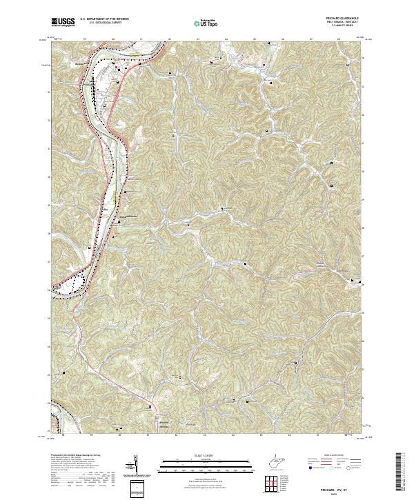 2023 Prichard2023 Print · USGSThe West Virginia and Kentucky borderlands come alive in the 2020s along the Big Sandy River. Genealogists can trace family landmarks like Bellomy Chapel Cem, Hubbardstown, and the Hatton - Burk Cem among the winding Appalachian hollows.
 - 2023 Map of Argillite, 2023 Print
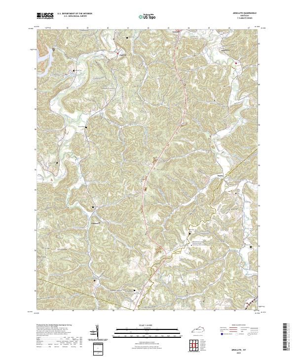 2023 Argillite2023 Print · USGSGreenup and Boyd Counties are shown here in the 2020s, where the Little Sandy River cuts through a landscape of deep hollows. Researchers can trace family history at the Kentucky Veterans Cem Northeast or explore the settlements of Argillite and Hunnewell.
End of results
Showing maps 1-10 of 10
Top cities of Boyd County
Frequently asked questions
- What are the different types of historical maps available for Boyd County?
- What is the oldest map of Boyd County?
- Where can I purchase historical maps of Boyd County for my home or office?
- Where can I download high-res historical maps of Boyd County?
- Are there historical topographic maps available for Boyd County?
- Is there historical aerial imagery available for Boyd County?
- Where are historical maps of Boyd County sourced from?