Old Maps of Boyle County, Kentucky for Academic Research
Study the evolution of Boyle County with 58 high-resolution historic maps. Whether you're teaching, researching, or modeling changes in land use, these maps provide essential visual documentation of urban, environmental, and geographic change.
- Analyze long-term change: Track patterns in development, transportation, and natural features.
- Ideal for environmental or urban studies: Support academic projects with primary historical map data.
- Use in the classroom or lab: Educators and researchers rely on these maps to bring historical context to life.
These maps are a powerful tool for teaching, research, and visualizing how Boyle County has changed over the decades.
Boyle County, KY maps
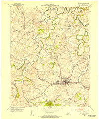
(58)- 1905 Map of Harrodsburg
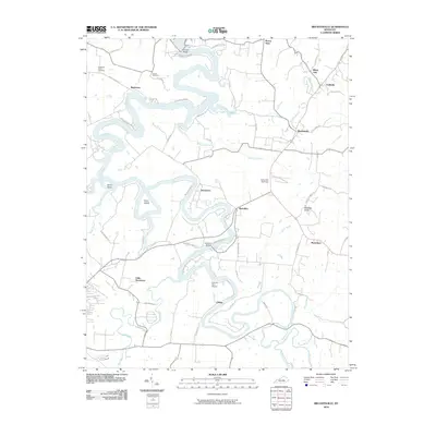
 1905 Harrodsburg1905 Print · USGSCentral Kentucky's Bluegrass region is captured here in the early twentieth century, showing a landscape defined by the deep gorges of the Kentucky River. Researchers can trace the era's vital rail networks and river commerce through features like Lock No 7 and the Louisville and Nashville RR.3 unique versions available
 - 1950 Map of Bryantsville, 1953 Print
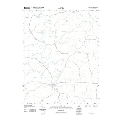
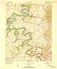 1950 Bryantsville1953 Print · USGSGarrard County and the winding Dix River are shown in the early fifties at the meeting of three counties. Local researchers can trace the Wilderness Trail and locate family landmarks like Robinson Reed Cem or the community of Bryantsville.
 - 1952 Map of Perryville, 1953 Print
 1952 Perryville1953 Print · USGSCentral Kentucky's rural landscape is captured here in the early 1950s, centered on the Chaplin River. Genealogists can trace family landmarks like Patterson Cem, Black Sch, and the grounds of Perryville Battlefield State Park.2 unique versions available
 - 1952 Map of Danville, 1953 Print
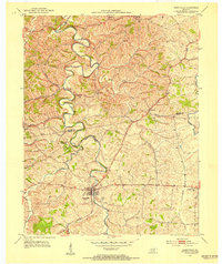
 1952 Danville1953 Print · USGSDanville and the surrounding Bluegrass countryside are shown in the early fifties as the region's institutional and transit hubs were firmly established. Genealogists can locate family landmarks like Salt River Cem, Faulkners Lane Ch, and small rail stops like Burgin.
 - 1952 Map of Bryantsville, 1953 Print
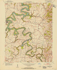 1952 Bryantsville1953 Print · USGSGarrard County in the early fifties shows a landscape shaped by the winding Herrington Lake and the historic Wilderness Trail. Researchers can trace the layout of Bryantsville, the grounds of Camp Dick Robinson, and the State Hospital.3 unique versions available
 - 1952 Map of Stanford, 1953 Print
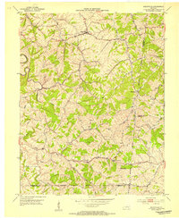
 1952 Stanford1953 Print · USGSLincoln County at the start of the 1950s shows a landscape still defined by its historic transit routes and small crossroads. Researchers can trace the Wilderness Trail, locate family plots at Buffalo Spring Cemetery, and find the Hubble Sch.
 - 1952 Map of Junction City, 1954 Print
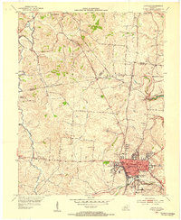
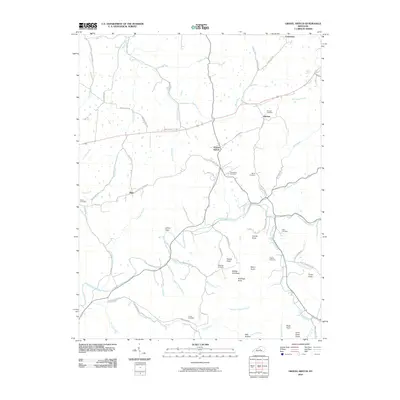
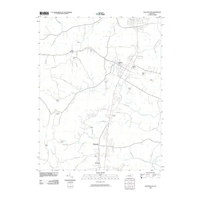
 1952 Junction City1954 Print · USGSCentral Kentucky's rail-and-river landscape is captured here in the early fifties, where the Southern and L&N lines intersect. Genealogists can trace family landmarks like Goodall Airfield, Gray Cem, and the rural community of Milledgeville before modern development shifted the region.2 unique versions available
 - 1952 Map of Parksville, 1954 Print
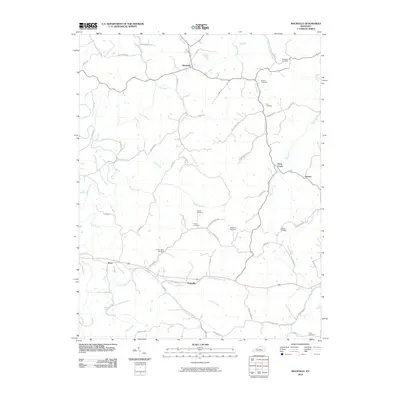
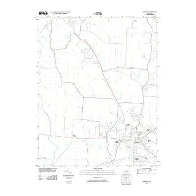
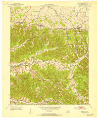 1952 Parksville1954 Print · USGSBoyle and Casey counties come together in the early fifties among the steep ridges and hollows of the Knobs. Genealogists can trace family lines through numerous rural landmarks like Shoehammer Sch (Shoehammer Cem), Mitchellsburg, and Forkland.
 - 1953 Map of Mackville, 1954 Print
 1953 Mackville1954 Print · USGSCentral Kentucky's rural landscape is captured here in the early fifties, showing the farming communities at the junction of four counties. Genealogists can trace family names through landmarks like Cocanougher Cem, Pottsville, and Beech Grove Ch.2 unique versions available
 - 1953 Map of Gravel Switch, 1954 Print
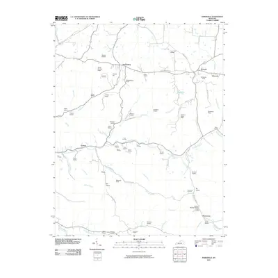
 1953 Gravel Switch1954 Print · USGSMarion County and the surrounding knobs are shown here in the mid-1950s as rural life centered on the Louisville and Nashville rail line. Researchers can trace family roots through numerous landmarks like Aliceton Cem, Doctors Fork Ch, and the Jane Todd Crawford Trail.
 - 1957 Map of Winchester, 1968 Print
 1957 Winchester1968 Print · USGSCentral Kentucky's landscape in the mid-twentieth century features the sprawling Fort Knox and the early parkway system. Genealogists and historians can trace rail lines like the Southern Railway and find landmarks from Bernheim Forest to Pilot Knob.3 unique versions available
 - 1959 Map of Danville, 1960 Print
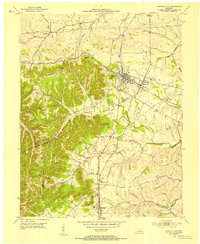
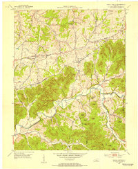
 1959 Danville1960 Print · USGSDanville and Harrodsburg anchor this late-fifties landscape as the region's rail and educational centers began to modernize. Genealogists and researchers can trace local heritage through landmarks like Centre College, the Mud Meetinghouse, and Pioneer Ch.
 - 1960 Map of Winchester
 1960 Winchester1960 Print · USGSCentral Kentucky's diverse landscape is shown here at mid-century, from the bluegrass plains to the rugged Pottsville Escarpment. Genealogists and historians can trace the rail-and-river network connecting towns like Bardstown and Stanford alongside landmarks like Lake Cumberland.
 - 1961 Map of Stanford, 1962 Print
 1961 Stanford1962 Print · USGSStanford and the surrounding Lincoln County countryside are captured here in the early sixties, showing the convergence of history and industry. Researchers can trace the Wilderness Road, locate several family burial sites like Blackerby Cem, and find the vanished Hubble Sch.3 unique versions available
 - 1967 Map of Danville, 1969 Print
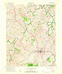
 1967 Danville1969 Print · USGSDanville and its neighboring Mercer County communities are shown in the late sixties as the area transitioned into modern suburban growth. Genealogists can trace family landmarks like the Mud Meetinghouse, Salt River Cem, and Centre College.3 unique versions available
 - 1981 Map of Elizabethtown, 1983 Print
 1981 Elizabethtown1983 Print · USGSCentral Kentucky in the early eighties shows a landscape of military installations, state parks, and historic sites. Genealogists and historians can trace rail lines like the Louisville and Nashville or locate sites like Lebanon National Cemetery and the Lincoln Memorial National Historic Site.
 - 1986 Map of Harrodsburg
 1986 Harrodsburg1986 Print · USGSCentral Kentucky in the mid-eighties reveals a landscape defined by the winding Kentucky River and the bustling county seats of the Bluegrass. Genealogists and historians can trace the evolution of Harrodsburg, Danville, and Nicholasville alongside the Lexington Blue Grass Army Depot.
 - 1991 Map of Harrodsburg
 1991 Harrodsburg1991 Print · USGSThe heart of the Bluegrass region comes alive in the late twentieth century, showing the deep river gorges and limestone uplands of central Kentucky. Genealogists and local historians can locate Shakertown, the sprawling Lexington Blue Grass Army Depot, and Berea College.
 - 2010 Map of Mackville, 2010 Print
 2010 Mackville2010 Print · USGSCovers Boyle County, including Mackville, Deep Creek, and other nearby areas
 - 2010 Map of Perryville, 2010 Print
 2010 Perryville2010 Print · USGSCovers Boyle County, including Perryville, Nevada, and other nearby areas
 - 2010 Map of Bryantsville, 2010 Print
 2010 Bryantsville2010 Print · USGSCovers Boyle County, including Danville, Bryantsville, and other nearby areas
 - 2010 Map of Gravel Switch, 2010 Print
 2010 Gravel Switch2010 Print · USGSCovers Boyle County, including Gravel Switch, Riley, and other nearby areas
 - 2010 Map of Danville, 2010 Print
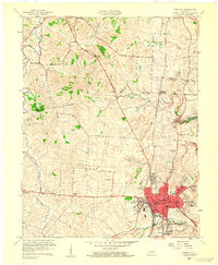
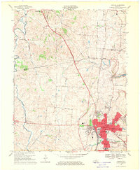
 2010 Danville2010 Print · USGSCovers Boyle County, including Danville, Harrodsburg, and other nearby areas
 - 2010 Map of Junction City, 2010 Print
 2010 Junction City2010 Print · USGSCovers Boyle County, including Danville, Junction City, and other nearby areas
 - 2010 Map of Parksville, 2010 Print
 2010 Parksville2010 Print · USGSCovers Boyle County, including Wilsonville, Butchertown, and other nearby areas
Showing maps 1-25 of 58
Top cities of Boyle County
Frequently asked questions
- What are the different types of historical maps available for Boyle County?
- What is the oldest map of Boyle County?
- Where can I purchase historical maps of Boyle County for my home or office?
- Where can I download high-res historical maps of Boyle County?
- Are there historical topographic maps available for Boyle County?
- Is there historical aerial imagery available for Boyle County?
- Where are historical maps of Boyle County sourced from?