Old Maps of Boatwright, Kentucky for Metal Detecting
Plan your next treasure hunt with 10 historic maps of Boatwright. Find old homesites, ghost towns, trails, and gathering spots that may be lost to time — perfect for identifying promising metal detecting locations.
- Locate forgotten sites: Uncover places like long-lost settlements, abandoned rail lines, or gathering spots.
- Plan better hunts: Use map overlays combined with LiDAR or satellite views to narrow in on historically rich areas.
- Made for detectorists: Thousands of hobbyists use these maps to discover relics, coins, and hidden history.
Use these historic maps to boost your research and find new opportunities beneath the surface of Boatwright.
Boatwright, KY maps
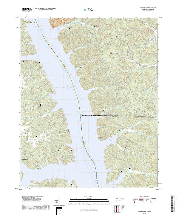
(10)- 1936 Map of Rushing
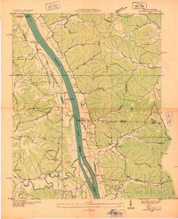 1936 Rushing1936 Print · USGSLife along the Tennessee River is documented here just before major dam projects reshaped the border of Kentucky and Tennessee. Genealogists and historians can trace old river access points like Dilday Landing and local landmarks such as Futrell Store or the Hendon Cem.
 - 1950 Map of Rushing Creek, 1953 Print
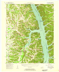
 1950 Rushing Creek1953 Print · USGSThe Tennessee and Kentucky borderlands appear here just after the filling of the reservoir, capturing a landscape defined by the new shoreline. Researchers can locate family burial grounds like Rushing Creek Cem and landmarks such as the Lookout Tower and Turkey Creek Ch.5 unique versions available
 - 1955 Map of New Concord, 1957 Print
 1955 New Concord1957 Print · USGSCalloway County and the Tennessee River valley are shown here just after the mid-century creation of Kentucky Lake. Local historians can trace established rural settlements like New Concord and Hico, alongside landmark sites like Fort Henry and Russell Chapel.
 - 1956 Map of Dyersburg, 1960 Print
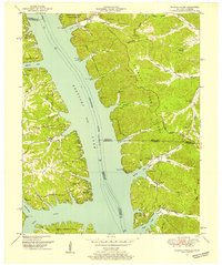
 1956 Dyersburg1960 Print · USGSThe Four Rivers region comes alive in the mid-fifties, capturing the intricate borderlands of Tennessee, Kentucky, and Missouri. Genealogists and historians can trace the rail-and-river networks connecting Dyersburg, Caruthersville, and the shoreline of Reelfoot Lake.4 unique versions available
 - 1986 Map of Murray
 1986 Murray1986 Print · USGSWestern Kentucky in the mid-1980s reveals a landscape defined by the Tennessee and Cumberland rivers. Genealogists and historians can trace rail-town development along the Illinois Central Gulf RR and find family-named locations like Dukedom and Water Valley.2 unique versions available
 - 2011 Map of Rushing Bay, 2011 Print
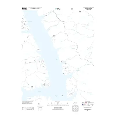
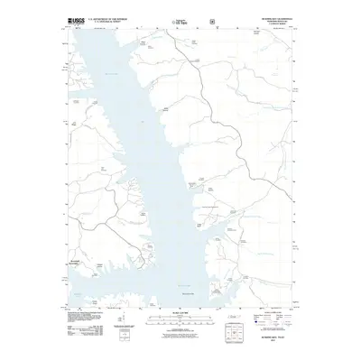 2011 Rushing Bay2011 Print · USGSCovers Boatwright, including Calloway County, Marshall County, and other nearby areas
 - 2013 Map of Rushing Bay, 2013 Print
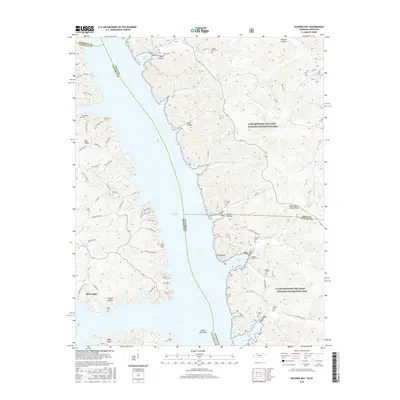
 2013 Rushing Bay2013 Print · USGSCovers Boatwright, including Calloway County, Marshall County, and other nearby areas
 - 2016 Map of Rushing Bay, 2016 Print
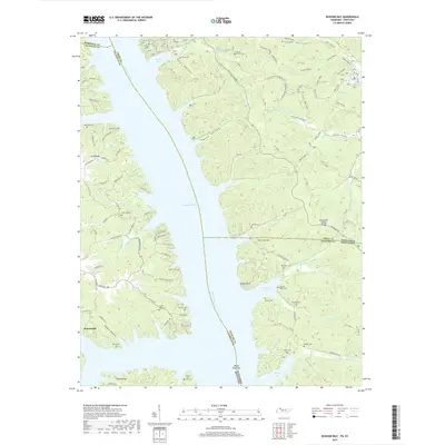
 2016 Rushing Bay2016 Print · USGSCovers Boatwright, including Calloway County, Marshall County, and other nearby areas
 - 2019 Map of Rushing Bay, 2019 Print
 2019 Rushing Bay2019 Print · USGSCovers Boatwright, including Calloway County, Marshall County, and other nearby areas
 - 2022 Map of Rushing Bay, 2022 Print
 2022 Rushing Bay2022 Print · USGSThe Tennessee and Kentucky borderlands along Kentucky Lake are shown here in modern detail. Genealogists can trace family sites like Hooper Cemetery and Banner Cemetery alongside historical landmarks like Cedar Bluff and Blood River Bar.
End of results
Showing maps 1-10 of 10
Top cities near Boatwright
- Murray historical maps
- Benton historical maps
- Puryear historical maps
- Hardin historical maps
- Hazel historical maps
Frequently asked questions
- What are the different types of historical maps available for Boatwright?
- What is the oldest map of Boatwright?
- Where can I purchase historical maps of Boatwright for my home or office?
- Where can I download high-res historical maps of Boatwright?
- Are there historical topographic maps available for Boatwright?
- Is there historical aerial imagery available for Boatwright?
- Where are historical maps of Boatwright sourced from?