Old Maps of Alexandria, Kentucky for Hiking & Exploration
Hike through history with 20 historic maps of Alexandria. Explore old trails, ghost towns, and forgotten backroads — perfect for outdoor adventurers and local explorers.
- Rediscover forgotten places: Map out old mining camps, roads, and footpaths that no longer exist on modern maps.
- Layer with modern tools: Combine with LiDAR or satellite views to plan hikes through historical terrain.
- Made for exploration: Popular among hikers, overlanders, and local history lovers.
Use these maps to find adventure and explore the hidden past of Alexandria.
Alexandria, KY maps
(20)- 1929 Map of Alexandria
 1929 Alexandria1929 Print · USGSNorthern Kentucky and the Ohio River border appear here in the late twenties as a bustling landscape of ridge-top farms and river-valley rail towns. Genealogists can trace family roots through numerous local landmarks like Oak Island Ch, Grants Lick, and the many rural schools such as Carthage Sch.
 - 1936 Map of Alexandria
 1936 Alexandria1936 Print · USGSNorthern Kentucky and the Ohio River valley appear here in the mid-1930s, showing a landscape defined by sharp river bends and rural rail stops. Researchers can trace historic schools and parish centers like Sts Peter and Paul Sch, the winding Licking Valley Highway, and the riverside operations at Gubser Mill.2 unique versions available
 - 1953 Map of New Richmond, 1955 Print
 1953 New Richmond1955 Print · USGSThe Ohio River valley in the early fifties showcases a landscape defined by riverside rail commerce and dispersed rural hamlets. Local historians can trace the foundations of New Richmond alongside community landmarks like Gubser Mill, Twelvemile Ch, and Lock and Dam 35.3 unique versions available
 - 1953 Map of Alexandria, 1955 Print
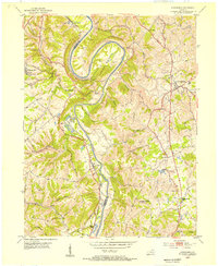 1953 Alexandria1955 Print · USGSNorthern Kentucky in the early fifties shows a landscape of winding river valleys and hilltop communities. Researchers can trace the Louisville and Nashville rail line and locate landmarks like the Tenmile House, White Villa, and Claryville.
 - 1956 Map of Louisville, 1971 Print
 1956 Louisville1971 Print · USGSThe Ohio River valley and the Kentucky Bluegrass are captured here during a period of rapid mid-century growth and industrial activity. Genealogists and historians can trace rail-centered towns and military land use at Fort Knox and the Jefferson Proving Ground.2 unique versions available
 - 1961 Map of Alexandria, 1962 Print
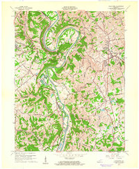 1961 Alexandria1962 Print · USGSNorthern Kentucky in the early sixties remains a landscape of river-bend farms and ridge-line communities along the Kenton and Campbell county line. Genealogists and hikers can trace old family roads and landmark sites like Pleasant Ridge Ch, Grants Bend, and the Louisville and Nashville rail line.2 unique versions available
 - 1964 Map of Louisville
 1964 Louisville1964 Print · USGSThe Ohio River valley and Kentucky Bluegrass are captured in the mid-1960s, showing a region balanced between industrial growth and its agrarian roots. Genealogists and historians can trace the development of county seats like Shelbyville and Paris, or locate established institutions such as Georgetown College and Bernheim Forest.
 - 1981 Map of Alexandria, 1982 Print
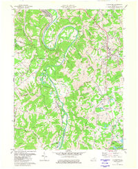 1981 Alexandria1982 Print · USGSIn the early eighties, this Campbell County corridor shows the winding Licking River and its rural settlements. Genealogists can trace landmarks like St Matthew Ch, Aspen Grove, and the Louisville and Nashville rail line.2 unique versions available
 - 1981 Map of New Richmond, 1982 Print
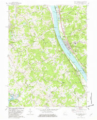 1981 New Richmond1982 Print · USGSThe Ohio River valley was a hub of river and rail transport in the early eighties, connecting riverside towns and rural uplands. Genealogists can trace family landmarks at Gubser Mill, Watkins Cem, and the historic Clermont Academy.2 unique versions available
 - 1986 Map of Falmouth
 1986 Falmouth1986 Print · USGSNorthern Kentucky and the Ohio River valley are shown here in the mid-1980s, highlighting the region's complex river-and-rail geography. Genealogists and researchers can trace the roads connecting Big Bone Lick, Zion Church, and river towns like Falmouth and Augusta.2 unique versions available
 - 2010 Map of Alexandria, 2010 Print
 2010 Alexandria2010 Print · USGSNorthern Kentucky's river valleys and rolling uplands are captured here in the early twenty-first century as suburban growth meets rural heritage. Researchers can locate numerous family burial sites like Culbertson Cemetery and Simmons Cemetery, or trace landmarks like the Alexandria Fairgrounds.
 - 2010 Map of New Richmond, 2010 Print
 2010 New Richmond2010 Print · USGSThe riverfront communities of Ohio and Kentucky appear in detail during the early 2010s, centered on the Ohio River corridor. Researchers can trace local heritage through sites like Gubser Mill, Blairsville Landing, and Watkins Cemetery.
 - 2013 Map of Alexandria, 2013 Print
 2013 Alexandria2013 Print · USGSThe Kenton and Campbell County borderlands are shaped by the winding Licking River in the early twenty-first century. Genealogists can locate numerous family burial grounds including White Cem and Simmons Cem, while tracing local landmarks like Grants Tunnel and Tenmile House.
 - 2013 Map of New Richmond, 2013 Print
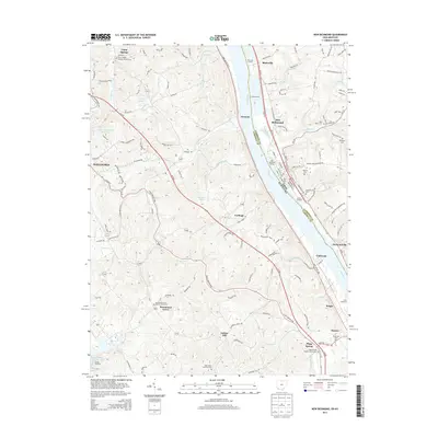 2013 New Richmond2013 Print · USGSNorthern Kentucky and the Ohio River valley come alive in the early twenty-first century, showing a landscape shaped by river landings and ridge-top farming. Trace ancestral sites at Gubser Mill or explore local history through the Persimmon Grove Baptist Church Cem and Sarvers Landing.
 - 2016 Map of Alexandria, 2016 Print
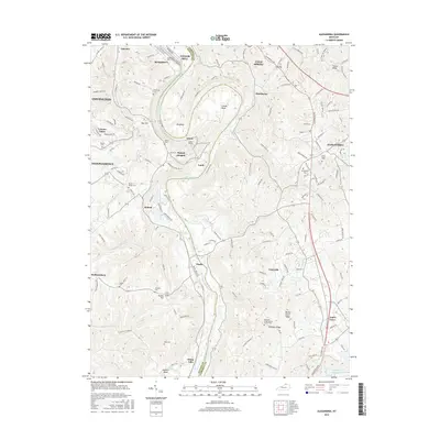 2016 Alexandria2016 Print · USGSThe Licking River valley south of Covington was a landscape of deep meanders and upland ridges during the mid-2010s. Genealogists and local historians can trace numerous family burial sites such as Armstrong Cem and landmarks like Grants Tunnel.
 - 2016 Map of New Richmond, 2016 Print
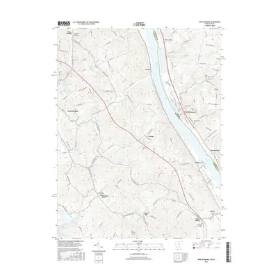 2016 New Richmond2016 Print · USGSThe riverfront communities of northern Kentucky and southern Ohio are captured here in the mid-2010s. Researchers can trace ancestral churchyards and rural hamlets such as Gubser Mill, Persimmon Grove, and Flagg Spring tucked among the bluffs.
 - 2019 Map of Alexandria, 2019 Print
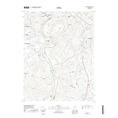 2019 Alexandria2019 Print · USGSThe Licking River divides Kenton and Campbell counties in this modern study of Northern Kentucky. Genealogists and historians can trace numerous family burial grounds including Simmons Cem and Rapp Cem near Visalia and Grants Tunnel.
 - 2019 Map of New Richmond, 2019 Print
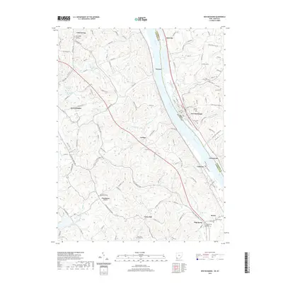 2019 New Richmond2019 Print · USGSThe Ohio River borderlands between Kentucky and Ohio are shown here in detail during the late twenty-tens. Genealogists and local historians can trace rural family sites near Gubser Mill, Camp Springs, and several historic burying grounds like Saint Peters Cem.
 - 2022 Map of Alexandria, 2022 Print
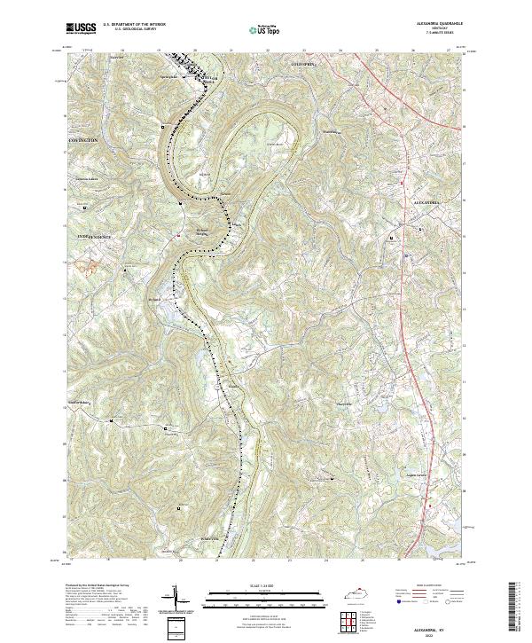 2022 Alexandria2022 Print · USGSNorthern Kentucky in the early 2020s shows a landscape of deep river bends and high ridges spanning the Kenton and Campbell county lines. Family history researchers can locate several rural burial grounds such as Culbertson Cem, Rapp Cem, and the Alexandria Cem.
 - 2023 Map of New Richmond, 2023 Print
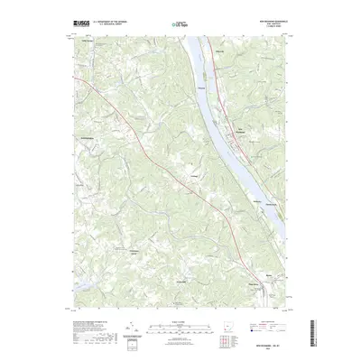 2023 New Richmond2023 Print · USGSCrossing the Ohio River into both Kentucky and Ohio, this recent survey documents a landscape of deeply-etched creek valleys and historic riverfront towns. Genealogists can trace family sites at Saint Peters Cem, Gubser Mill, and the Persimmon Grove Baptist Church Cem.
End of results
Showing maps 1-20 of 20
Top cities near Alexandria
- Cincinnati historical maps
- Covington historical maps
- Independence historical maps
- Norwood historical maps
- Erlanger historical maps
- Newport historical maps
See more
Frequently asked questions
- What are the different types of historical maps available for Alexandria?
- What is the oldest map of Alexandria?
- Where can I purchase historical maps of Alexandria for my home or office?
- Where can I download high-res historical maps of Alexandria?
- Are there historical topographic maps available for Alexandria?
- Is there historical aerial imagery available for Alexandria?
- Where are historical maps of Alexandria sourced from?