1900s (20th Century) Maps of Carlisle County, Kentucky
Explore 20 historic maps of Carlisle County from the 1900s (20th Century). These maps offer a rare glimpse into what life looked like during the 1900s — showing old roads, neighborhoods, homes, and landmarks that have changed or disappeared over time.
Whether you're researching your family's past, planning a metal detecting trip, or studying how Carlisle County's landscape evolved across the 1900s, these high-resolution maps are a powerful tool for exploring the history of this region.
- Focus on a specific era: All maps on this page are from the 1900s, giving you a focused view of this time period.
- See what’s changed: Compare century-old streets, trails, and buildings to today's modern landscape using overlays and satellite layers.
- Research with precision: Use these maps for genealogy, historical research, land use analysis, or educational projects.
- View, download, or print: Maps are fully viewable online in high resolution, and can be downloaded or printed for your own records.
Start exploring Carlisle County's history through authentic maps from the 1900s. This is your window into the past.
Carlisle County, KY maps
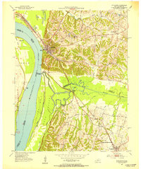
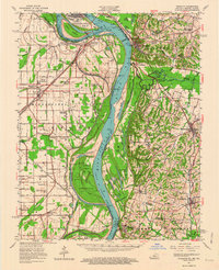
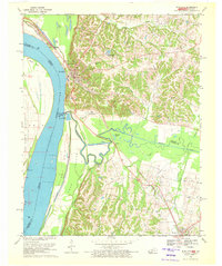
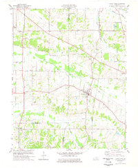
(20)- 1939 Map of Wickliffe
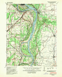 1939 Wickliffe1939 Print · USGSCovers Carlisle County, including Cairo, Bardwell, and other nearby areas2 unique versions available
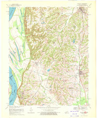
 - 1951 Map of Blandville, 1952 Print
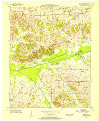 1951 Blandville1952 Print · USGSCovers Carlisle County, including New York, Cunningham, and other nearby areas2 unique versions available
 - 1951 Map of Wickliffe SW, 1953 Print
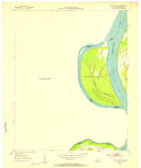 1951 Wickliffe SW1953 Print · USGSCovers Carlisle County, including Fuget, Thirtyfour Corner, and other nearby areas3 unique versions available
 - 1951 Map of Arlington, 1953 Print
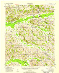
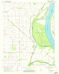
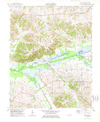
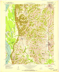 1951 Arlington1953 Print · USGSCovers Carlisle County, including Bardwell, Arlington, and other nearby areas2 unique versions available
 - 1951 Map of Wickliffe, 1953 Print
 1951 Wickliffe1953 Print · USGSCovers Carlisle County, including Bardwell, Wickliffe, and other nearby areas2 unique versions available
 - 1951 Map of Milburn, 1953 Print
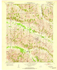
 1951 Milburn1953 Print · USGSCovers Carlisle County, including Bardwell, Arlington, and other nearby areas
 - 1952 Map of Fancy Farm, 1953 Print
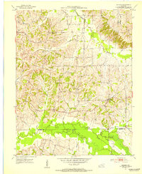
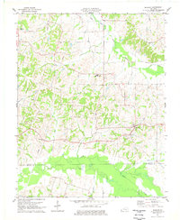
 1952 Fancy Farm1953 Print · USGSCovers Carlisle County, including Beulah, Wheel, and other nearby areas
 - 1952 Map of Fancy Farm, 1958 Print
 1952 Fancy Farm1958 Print · USGSCovers Carlisle County, including Bardwell, Arlington, and other nearby areas
 - 1952 Map of Wickliffe, 1964 Print
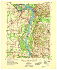
 1952 Wickliffe1964 Print · USGSCovers Carlisle County, including Cairo, Bardwell, and other nearby areas
 - 1955 Map of Wickliffe
 1955 Wickliffe1955 Print · USGSCovers Carlisle County, including Cairo, Bardwell, and other nearby areas
 - 1956 Map of Dyersburg, 1960 Print
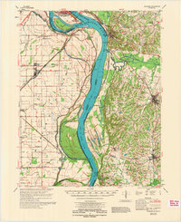
 1956 Dyersburg1960 Print · USGSCovers Carlisle County, including Dyersburg, Sikeston, and other nearby areas4 unique versions available
 - 1969 Map of Wickliffe SW, 1972 Print
 1969 Wickliffe SW1972 Print · USGSCovers Carlisle County, including Fuget, Thirtyfour Corner, and other nearby areas2 unique versions available
 - 1970 Map of Arlington, 1972 Print
 1970 Arlington1972 Print · USGSCovers Carlisle County, including Bardwell, Arlington, and other nearby areas3 unique versions available
 - 1970 Map of Wickliffe, 1972 Print
 1970 Wickliffe1972 Print · USGSCovers Carlisle County, including Bardwell, Wickliffe, and other nearby areas2 unique versions available
 - 1972 Map of Wickliffe
 1972 Wickliffe1972 Print · USGSCovers Carlisle County, including Cairo, Bardwell, and other nearby areas
 - 1977 Map of Milburn
 1977 Milburn1977 Print · USGSCovers Carlisle County, including Bardwell, Arlington, and other nearby areas
 - 1977 Map of Blandville
 1977 Blandville1977 Print · USGSCovers Carlisle County, including New York, Cunningham, and other nearby areas
 - 1977 Map of Fancy Farm
 1977 Fancy Farm1977 Print · USGSCovers Carlisle County, including Beulah, Wheel, and other nearby areas
 - 1985 Map of Sikeston, 1986 Print
 1985 Sikeston1986 Print · USGSCovers Carlisle County, including Sikeston, Dexter, and other nearby areas2 unique versions available
 - 1986 Map of Murray
 1986 Murray1986 Print · USGSCovers Carlisle County, including Murray, Mayfield, and other nearby areas2 unique versions available
End of results
Showing maps 1-20 of 20
Top cities of Carlisle County
Frequently asked questions
- What are the different types of historical maps available for Carlisle County?
- What is the oldest map of Carlisle County?
- Where can I purchase historical maps of Carlisle County for my home or office?
- Where can I download high-res historical maps of Carlisle County?
- Are there historical topographic maps available for Carlisle County?
- Is there historical aerial imagery available for Carlisle County?
- Where are historical maps of Carlisle County sourced from?