Old Maps of Bluff Spring, Kentucky for Genealogy
Trace your family roots with 12 historic maps of Bluff Spring. These high-res maps reveal old neighborhoods, homesites, landmarks, and streets — helping you uncover where your ancestors lived and how the area evolved over time.
- Explore historic neighborhoods: Identify where your relatives may have lived in the 1800s or 1900s.
- Compare maps over time: Trace the changes in streets, buildings, and landmarks for multi-generational research.
- Perfect for genealogy & ancestry research: Used by family historians and researchers to map out lineage and migration.
These maps are an incredible resource for exploring your personal connection to Bluff Spring's past.
Bluff Spring, KY maps
(12)- 1912 Map of Nortonville
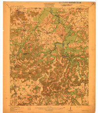 1912 Nortonville1912 Print · USGSWestern Kentucky at the start of the decade is defined here by its busy rail junctions and rural merchant economy. Genealogists and historians can trace family roots through numerous country schools and stores, including Clement School, Jordons Store, and Greens Chapel.3 unique versions available
 - 1953 Map of Haleys Mill, 1954 Print
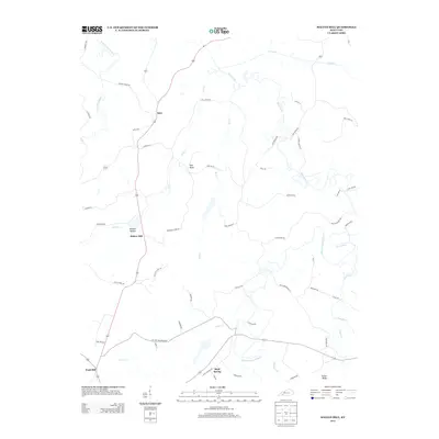
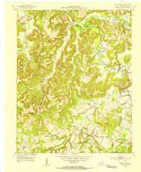 1953 Haleys Mill1954 Print · USGSNorthwestern Christian County in the early fifties is captured here as a network of creek-side settlements and family homesteads. Genealogists can locate numerous burial grounds and rural congregations like Prowse Cem, Haleys Mill, and Judge Chapel.2 unique versions available
 - 1954 Map of Evansville
 1954 Evansville1954 Print · USGSThe Ohio River borderlands between Indiana and Kentucky appear here during a period of robust industrial and military growth. Genealogists and researchers can trace the rail corridors of the Illinois Central and find landmarks like US Lock and Dam No 48 or Camp Breckinridge.
 - 1957 Map of Evansville, 1969 Print
 1957 Evansville1969 Print · USGSIndiana and Kentucky meet along the Ohio River in this mid-century survey of a vital industrial and transport corridor. Genealogists and historians can trace the development of river towns like Owensboro and Newburgh or locate old rail lines like the Southern Ry.3 unique versions available
 - 1961 Map of Evansville
 1961 Evansville1961 Print · USGSThe Ohio River valley and its surrounding coalfields are captured here during the late fifties and early sixties. Trace the industrial rail networks of the Illinois Central RR and explore regional landmarks like Mammoth Cave National Park and Angel Mounds State Memorial.2 unique versions available
 - 1972 Map of Haleys Mill, 1973 Print
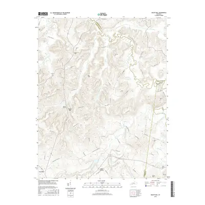
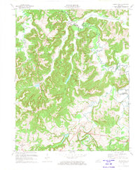 1972 Haleys Mill1973 Print · USGSNorthern Christian County was a landscape of small farming communities and growing oil fields in the early 1970s. Genealogists can locate family landmarks like Atkinson Cem and Johnston Cem or trace early roads near Haleys Mill and Apex.2 unique versions available
 - 1983 Map of Madisonville, 1984 Print
 1983 Madisonville1984 Print · USGSThe Western Kentucky coalfields and river valleys come into focus in the early eighties as the rail-and-river economy matured. Genealogists can trace family footprints across Dawson Springs, Mortons Gap, and Slaughters, or locate landmarks like Shake Rag Hills and Lake Malone.
 - 2010 Map of Haleys Mill, 2010 Print
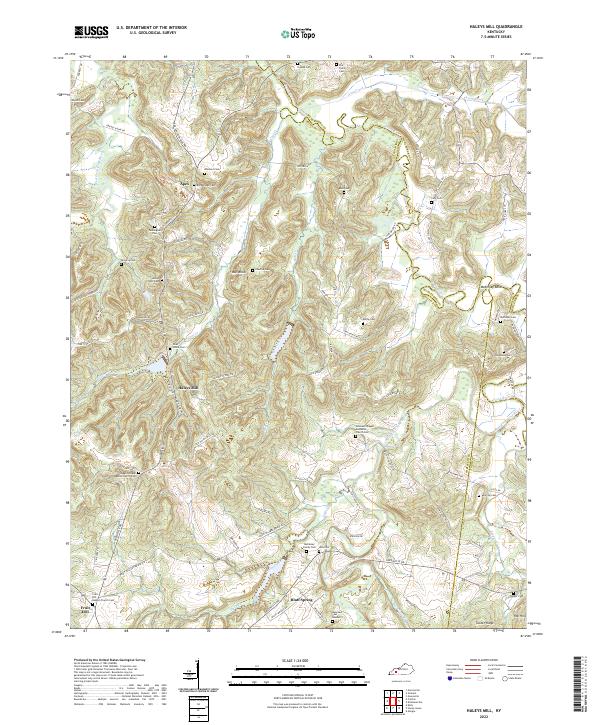
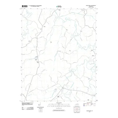 2010 Haleys Mill2010 Print · USGSCovers Bluff Spring, including Haleys Mill, Apex, and other nearby areas
 - 2013 Map of Haleys Mill, 2013 Print
 2013 Haleys Mill2013 Print · USGSCovers Bluff Spring, including Haleys Mill, Apex, and other nearby areas
 - 2016 Map of Haleys Mill, 2016 Print
 2016 Haleys Mill2016 Print · USGSCovers Bluff Spring, including Haleys Mill, Apex, and other nearby areas
 - 2019 Map of Haleys Mill, 2019 Print
 2019 Haleys Mill2019 Print · USGSCovers Bluff Spring, including Haleys Mill, Apex, and other nearby areas
 - 2022 Map of Haleys Mill, 2022 Print
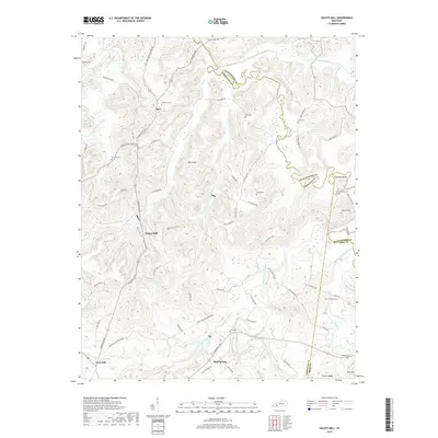
 2022 Haleys Mill2022 Print · USGSChristian County's rural heartland is meticulously documented in this recent survey of the region's cemeteries and waterways. Genealogists and local historians can trace family ties at Lite Family Cemetery, Hale Cemetery, and Johnsons Chapel Methodist Church Cemetery.
End of results
Showing maps 1-12 of 12
Top cities near Bluff Spring
- Hopkinsville historical maps
- Greenville historical maps
- Elkton historical maps
- Nortonville historical maps
- Mortons Gap historical maps
- Powderly historical maps
See more
Frequently asked questions
- What are the different types of historical maps available for Bluff Spring?
- What is the oldest map of Bluff Spring?
- Where can I purchase historical maps of Bluff Spring for my home or office?
- Where can I download high-res historical maps of Bluff Spring?
- Are there historical topographic maps available for Bluff Spring?
- Is there historical aerial imagery available for Bluff Spring?
- Where are historical maps of Bluff Spring sourced from?