Old Maps of Merrittstown, Kentucky for Academic Research
Study the evolution of Merrittstown with 11 high-resolution historic maps. Whether you're teaching, researching, or modeling changes in land use, these maps provide essential visual documentation of urban, environmental, and geographic change.
- Analyze long-term change: Track patterns in development, transportation, and natural features.
- Ideal for environmental or urban studies: Support academic projects with primary historical map data.
- Use in the classroom or lab: Educators and researchers rely on these maps to bring historical context to life.
These maps are a powerful tool for teaching, research, and visualizing how Merrittstown has changed over the decades.
Merrittstown, KY maps
(11)- 1951 Map of Church Hill
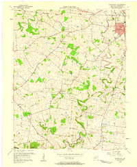
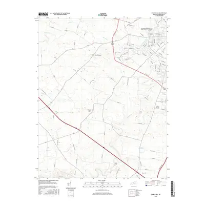
 1951 Church Hill1951 Print · USGSChristian County farmland south of Hopkinsville is captured here in the early fifties, showing a rural landscape tied together by country roads and the Little River. Genealogists can locate family landmarks like the Mcclain Chapel, Hebron Ch, and Walnut Grove Sch.
 - 1956 Map of Church Hill, 1958 Print
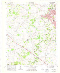
 1956 Church Hill1958 Print · USGSChristian County in the mid-fifties reveals a landscape of thriving rural communities and the southwestern expansion of the county seat. Genealogists and local historians can trace family roots through numerous country landmarks like South Union Ch, McClain Chapel, and Merrittstown.2 unique versions available
 - 1956 Map of Nashville, 1971 Print
 1956 Nashville1971 Print · USGSThe Tennessee-Kentucky borderlands come into focus in the mid-1960s as major reservoir projects transformed the Cumberland and Tennessee river valleys. Researchers can trace the rail networks of the Louisville and Nashville and visit sites like Fort Campbell and Fort Donelson National Military Park.2 unique versions available
 - 1959 Map of Nashville
 1959 Nashville1959 Print · USGSMiddle Tennessee and Southern Kentucky come into focus during the late fifties, showing the region's transition into a modern transportation and military hub. Researchers can trace the sprawling Fort Campbell Military Reservation or locate historic rail stops along the Tennessee Central Ry and Illinois Central RR.
 - 1978 Map of Church Hill, 1979 Print
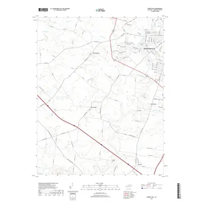
 1978 Church Hill1979 Print · USGSChristian County in the late seventies reveals the suburban growth of Hopkinsville alongside its enduring rural character. Genealogists and local historians can locate specific landmarks like South Union Ch, Merrittstown, and the State Fairgrounds.2 unique versions available
 - 1980 Map of Hopkinsville, 1983 Print
 1980 Hopkinsville1983 Print · USGSThe Kentucky and Tennessee borderlands appear here at the start of the 1980s, centered on the massive Fort Campbell Military Reservation. Trace the impact of the Cumberland River impoundment at Lake Barkley or locate rail hubs like Guthrie and Elkton.
 - 2010 Map of Church Hill, 2010 Print
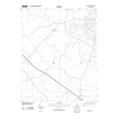 2010 Church Hill2010 Print · USGSCovers Merrittstown, including Hopkinsville, Beverly, and other nearby areas
 - 2013 Map of Church Hill, 2013 Print
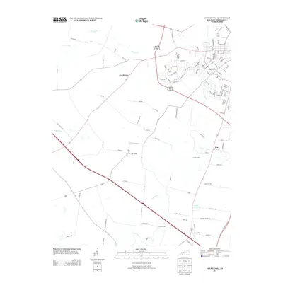 2013 Church Hill2013 Print · USGSCovers Merrittstown, including Hopkinsville, Beverly, and other nearby areas
 - 2016 Map of Church Hill, 2016 Print
 2016 Church Hill2016 Print · USGSCovers Merrittstown, including Hopkinsville, Beverly, and other nearby areas
 - 2019 Map of Church Hill, 2019 Print
 2019 Church Hill2019 Print · USGSCovers Merrittstown, including Hopkinsville, Beverly, and other nearby areas
 - 2022 Map of Church Hill, 2022 Print
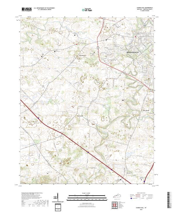 2022 Church Hill2022 Print · USGSChristian County's rolling farmland and river forks come alive in this recent survey of the Kentucky countryside. Genealogists can trace family heritage at Gordonsville Baptist Church Cem, McComb Cem, and the small community of Merrittstown.
End of results
Showing maps 1-11 of 11
Top cities near Merrittstown
- Clarksville historical maps
- Hopkinsville historical maps
- Oak Grove historical maps
- Cadiz historical maps
- Crofton historical maps
- Pembroke historical maps
See more
Frequently asked questions
- What are the different types of historical maps available for Merrittstown?
- What is the oldest map of Merrittstown?
- Where can I purchase historical maps of Merrittstown for my home or office?
- Where can I download high-res historical maps of Merrittstown?
- Are there historical topographic maps available for Merrittstown?
- Is there historical aerial imagery available for Merrittstown?
- Where are historical maps of Merrittstown sourced from?