
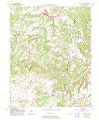
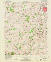
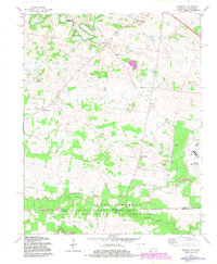
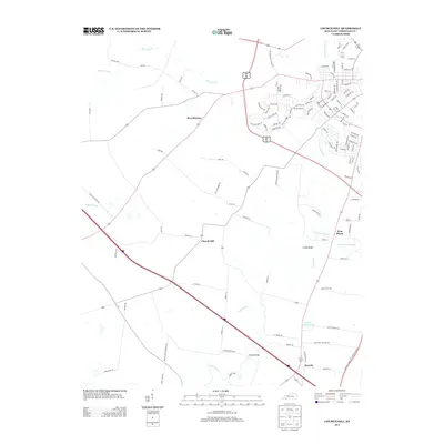
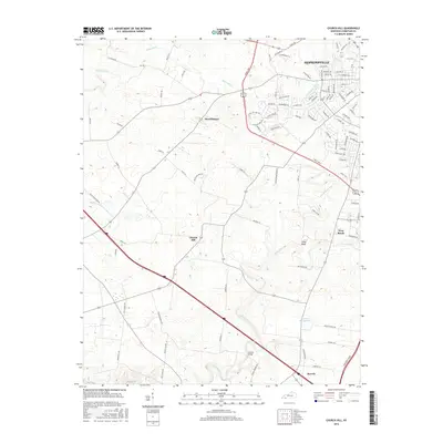
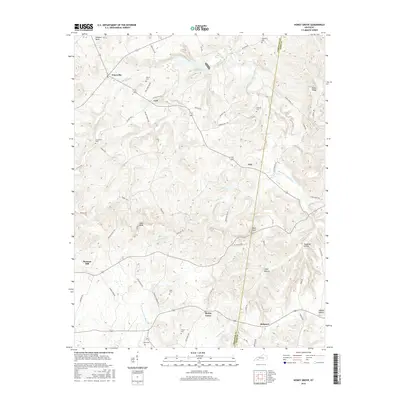
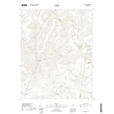
1951 Map of Church Hill
USGS Topo · Published 1951About this map
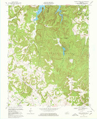
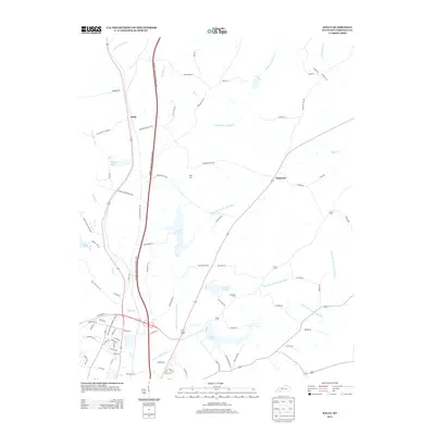
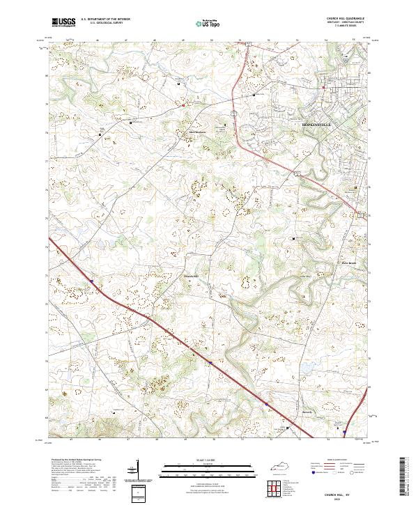
The Little River and its multiple forks carve through the agricultural heart of Christian County, defining the landscape south of Hopkinsville. This 1951 survey reveals a rural community anchored by local institutions like the Mcclain Chapel, South Union Ch, and the White Oak Grove Sch. Small, named clusters such as Merrittstown and Church Hill punctuate the rolling terrain, connected by the Illinois Central railroad and the Davis Highway. Notable river crossings, including the Huffman Mill Bridge and Striped Bridge, indicate the importance of the waterway to local transit. For genealogists, the map is a detailed record of the mid-century South, capturing the precise locations of rural schools like Gee Sch and several country churches that served as the social centers for outlying farming families.
Find a feature on this map
29 named features on this map. Tap any name to fly to it.
Don’t see what you’re looking for? This feature index may not catch every label — zoom into the map to look around manually.
Map Details
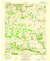
Editions of this 1951 Church Hill Map
This is the sole edition of this map. No revisions or reprints were ever made.
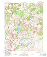
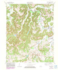
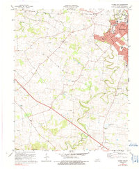
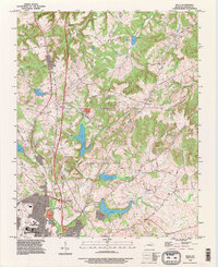
Historical Maps of Hopkinsville Through Time
58 maps found
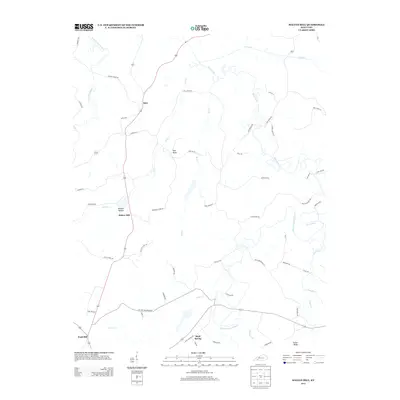
1951 Church Hill
Christian County, KY

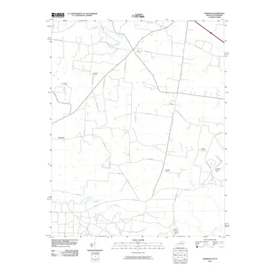
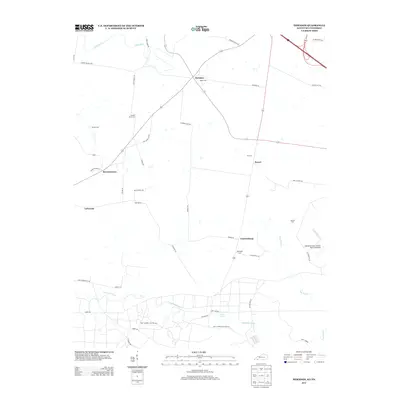
1951 Herndon
Christian County, KY
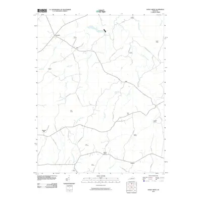
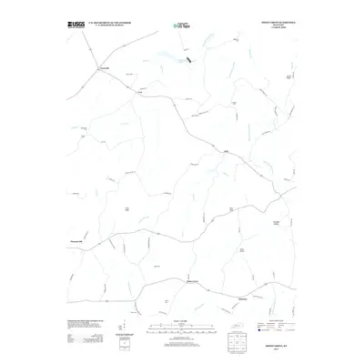
1952 Honey Grove
Christian County, KY

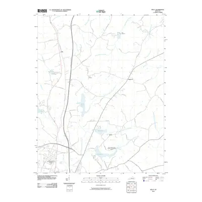
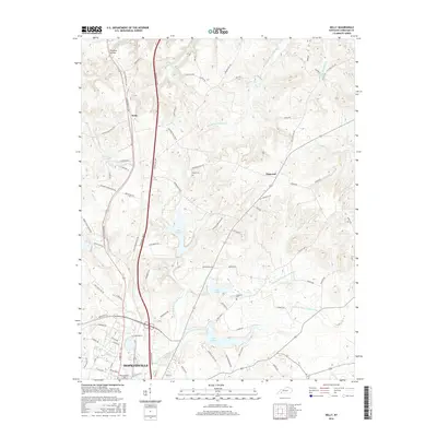
1952 Kelly
Christian County, KY
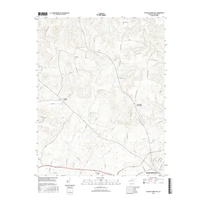
1952 Pleasant Green Hill
Christian County, KY
1953 Dawson Springs SE
Christian County, KY

1953 Dawson Springs SW
Christian County, KY
1953 Haleys Mill
Christian County, KY
1956 Church Hill
Christian County, KY
1957 Herndon
Christian County, KY
1957 Kelly
Christian County, KY
1957 Pleasant Green Hill
Christian County, KY
1967 Dawson Springs SW
Christian County, KY
1969 Kelly
Christian County, KY
1972 Haleys Mill
Christian County, KY
1978 Church Hill
Christian County, KY
1978 Herndon
Christian County, KY
1993 Kelly
Christian County, KY
2010 Church Hill
Christian County, KY

2010 Dawson Springs SE
Christian County, KY

2010 Dawson Springs SW
Christian County, KY
2010 Haleys Mill
Christian County, KY
2010 Herndon
Christian County, KY
2010 Honey Grove
Christian County, KY
2010 Kelly
Christian County, KY

2010 Pleasant Green Hill
Christian County, KY
2013 Church Hill
Christian County, KY

2013 Dawson Springs SE
Christian County, KY

2013 Dawson Springs SW
Christian County, KY
2013 Haleys Mill
Christian County, KY
2013 Herndon
Christian County, KY
2013 Honey Grove
Christian County, KY
2013 Kelly
Christian County, KY

2013 Pleasant Green Hill
Christian County, KY
2016 Church Hill
Christian County, KY
2016 Dawson Springs SE
Christian County, KY

2016 Dawson Springs SW
Christian County, KY
2016 Haleys Mill
Christian County, KY
2016 Herndon
Christian County, KY
2016 Honey Grove
Christian County, KY
2016 Kelly
Christian County, KY
2016 Pleasant Green Hill
Christian County, KY
2019 Church Hill
Christian County, KY

2019 Dawson Springs SE
Christian County, KY

2019 Dawson Springs SW
Christian County, KY
2019 Haleys Mill
Christian County, KY
2019 Herndon
Christian County, KY
2019 Honey Grove
Christian County, KY
2019 Kelly
Christian County, KY

2019 Pleasant Green Hill
Christian County, KY
2022 Church Hill
Christian County, KY
2022 Dawson Springs SE
Christian County, KY
2022 Dawson Springs SW
Christian County, KY
2022 Haleys Mill
Christian County, KY
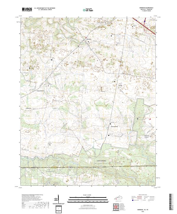
2022 Herndon
Christian County, KY
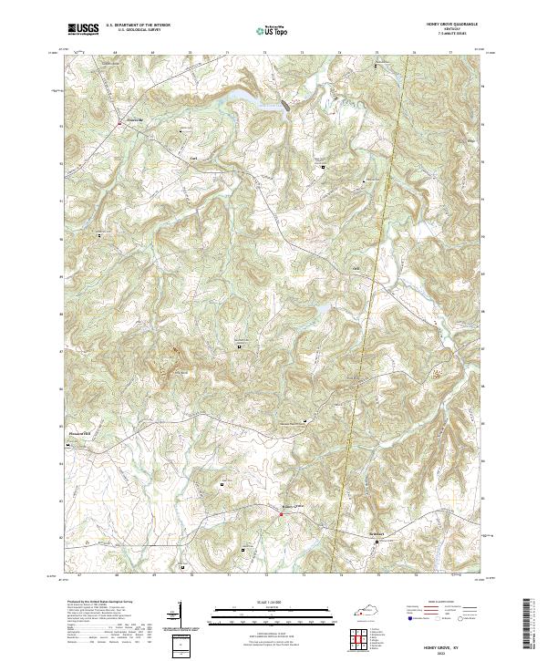
2022 Honey Grove
Christian County, KY
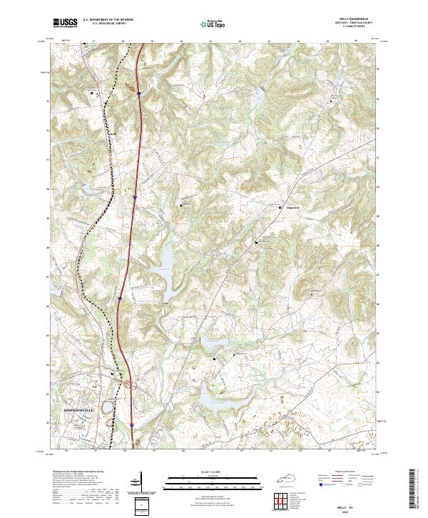
2022 Kelly
Christian County, KY
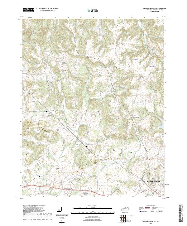
2022 Pleasant Green Hill
Christian County, KY