
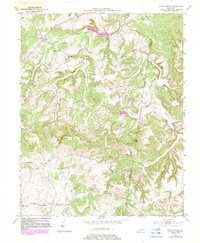
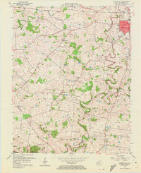
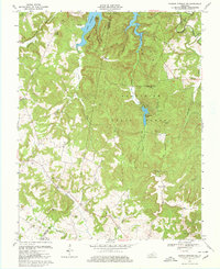
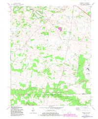
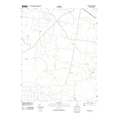
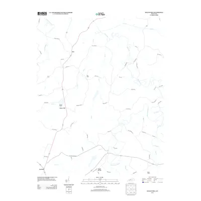
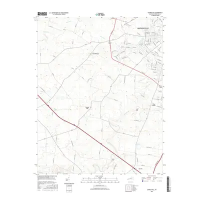
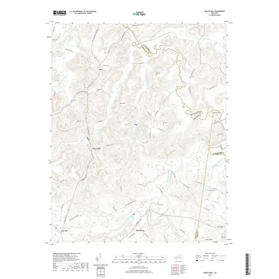
1951 Map of Herndon
USGS Topo · Published 1953About this map
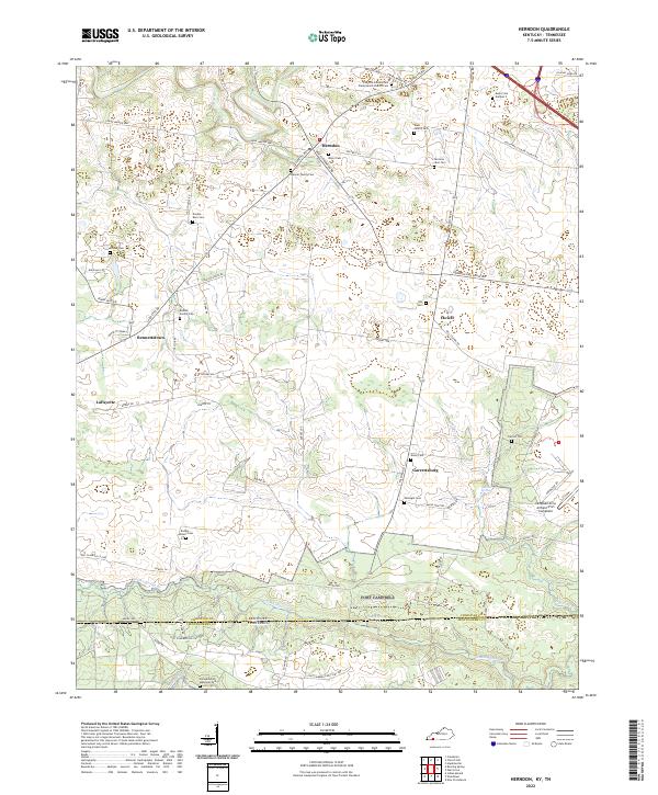
The Fort Campbell Military Reservation dominates the southern landscape of this 1951 survey, straddling the Kentucky Tennessee state line. This era reflects the early Cold War expansion of the facility, including the Campbell Air Force Base footprint. To the north, the terrain transitions into the agricultural and rural community life of Christian County, characterized by a dense network of country schools and houses of worship. Small settlements such as Herndon and Garrettsburg serve as local hubs, connected by established routes like Palmyra Road and Lafayette Road. The meandering course of the Little River and Donaldson Creek define the drainage of this sinkhole-dotted limestone plateau. Genealogists will find significant value in the documentation of several family and community landmarks, including Major Cem, Double Barn Cem, and the Kirk Church.
Find a feature on this map
30 named features on this map. Tap any name to fly to it.
Don’t see what you’re looking for? This feature index may not catch every label — zoom into the map to look around manually.
Map Details
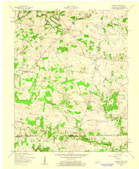
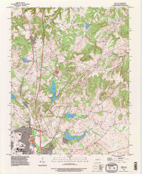
Editions of this 1951 Herndon Map
This is the sole edition of this map. No revisions or reprints were ever made.
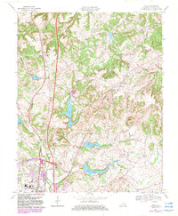
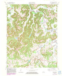
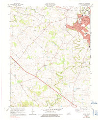
Historical Maps of LaFayette Through Time
58 maps found

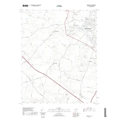
1951 Church Hill
Christian County, KY
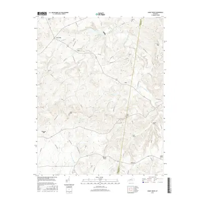
1951 Herndon
Christian County, KY
1952 Honey Grove
Christian County, KY

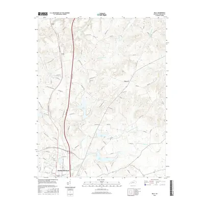
1952 Kelly
Christian County, KY
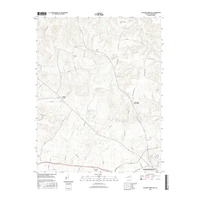
1952 Pleasant Green Hill
Christian County, KY
1953 Dawson Springs SE
Christian County, KY

1953 Dawson Springs SW
Christian County, KY
1953 Haleys Mill
Christian County, KY
1956 Church Hill
Christian County, KY
1957 Herndon
Christian County, KY
1957 Kelly
Christian County, KY
1957 Pleasant Green Hill
Christian County, KY
1967 Dawson Springs SW
Christian County, KY
1969 Kelly
Christian County, KY
1972 Haleys Mill
Christian County, KY
1978 Church Hill
Christian County, KY
1978 Herndon
Christian County, KY
1993 Kelly
Christian County, KY
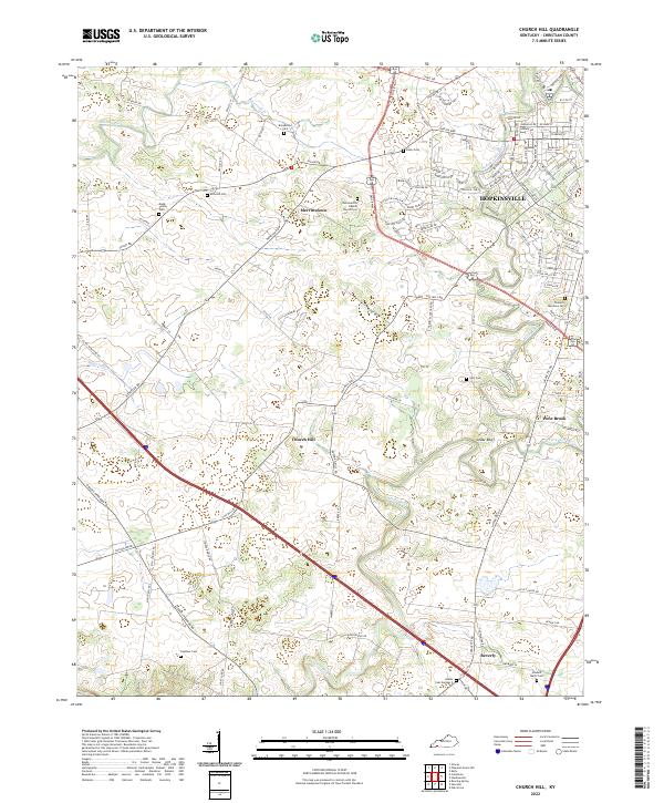
2010 Church Hill
Christian County, KY

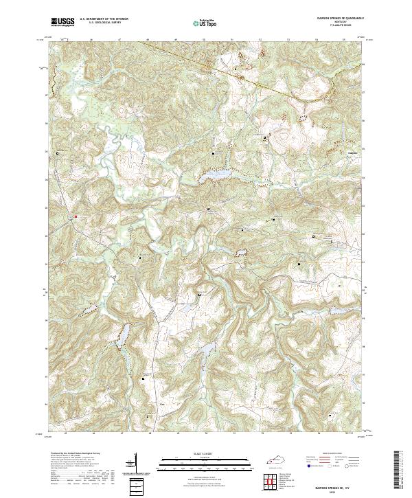
2010 Dawson Springs SE
Christian County, KY

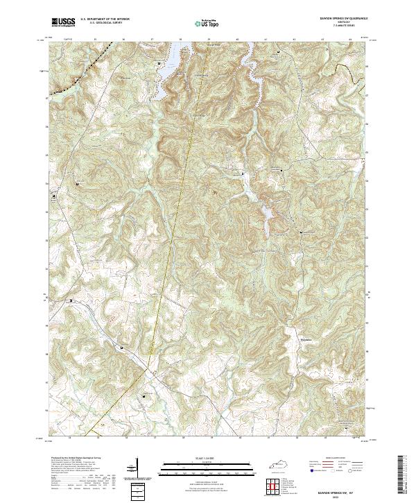
2010 Dawson Springs SW
Christian County, KY
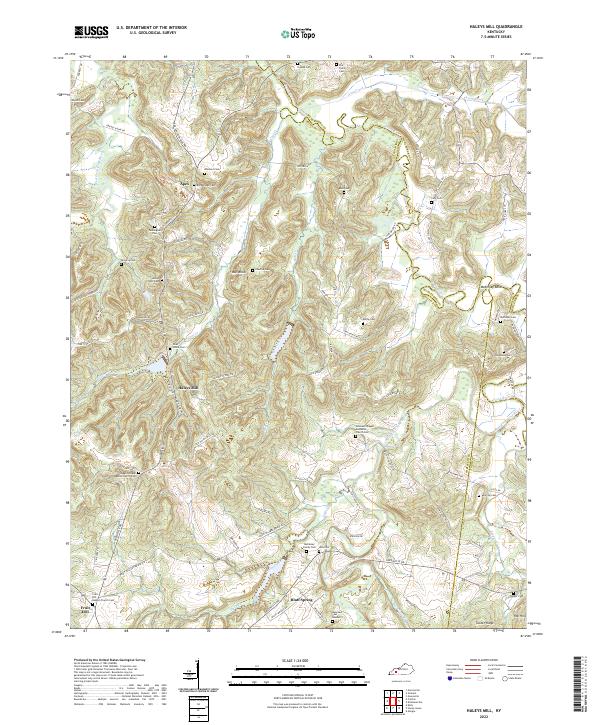
2010 Haleys Mill
Christian County, KY
2010 Herndon
Christian County, KY
2010 Honey Grove
Christian County, KY
2010 Kelly
Christian County, KY

2010 Pleasant Green Hill
Christian County, KY
2013 Church Hill
Christian County, KY

2013 Dawson Springs SE
Christian County, KY

2013 Dawson Springs SW
Christian County, KY
2013 Haleys Mill
Christian County, KY
2013 Herndon
Christian County, KY
2013 Honey Grove
Christian County, KY
2013 Kelly
Christian County, KY

2013 Pleasant Green Hill
Christian County, KY
2016 Church Hill
Christian County, KY
2016 Dawson Springs SE
Christian County, KY

2016 Dawson Springs SW
Christian County, KY
2016 Haleys Mill
Christian County, KY
2016 Herndon
Christian County, KY
2016 Honey Grove
Christian County, KY
2016 Kelly
Christian County, KY
2016 Pleasant Green Hill
Christian County, KY
2019 Church Hill
Christian County, KY

2019 Dawson Springs SE
Christian County, KY

2019 Dawson Springs SW
Christian County, KY
2019 Haleys Mill
Christian County, KY
2019 Herndon
Christian County, KY
2019 Honey Grove
Christian County, KY
2019 Kelly
Christian County, KY

2019 Pleasant Green Hill
Christian County, KY
2022 Church Hill
Christian County, KY
2022 Dawson Springs SE
Christian County, KY
2022 Dawson Springs SW
Christian County, KY
2022 Haleys Mill
Christian County, KY
2022 Herndon
Christian County, KY
2022 Honey Grove
Christian County, KY
2022 Kelly
Christian County, KY
2022 Pleasant Green Hill
Christian County, KY