Old Maps of Pleasant Green Hill, Kentucky for Genealogy
Trace your family roots with 10 historic maps of Pleasant Green Hill. These high-res maps reveal old neighborhoods, homesites, landmarks, and streets — helping you uncover where your ancestors lived and how the area evolved over time.
- Explore historic neighborhoods: Identify where your relatives may have lived in the 1800s or 1900s.
- Compare maps over time: Trace the changes in streets, buildings, and landmarks for multi-generational research.
- Perfect for genealogy & ancestry research: Used by family historians and researchers to map out lineage and migration.
These maps are an incredible resource for exploring your personal connection to Pleasant Green Hill's past.
Pleasant Green Hill, KY maps
(10)- 1952 Map of Pleasant Green Hill, 1953 Print
 1952 Pleasant Green Hill1953 Print · USGSChristian County at the dawn of the fifties reveals a landscape defined by a network of rural churches and family cemeteries. Genealogists can trace local heritage through sites like Harmony Grove Ch, Fuller Cem, and the old Mt Zoar Sch.
 - 1956 Map of Nashville, 1971 Print
 1956 Nashville1971 Print · USGSThe Tennessee-Kentucky borderlands come into focus in the mid-1960s as major reservoir projects transformed the Cumberland and Tennessee river valleys. Researchers can trace the rail networks of the Louisville and Nashville and visit sites like Fort Campbell and Fort Donelson National Military Park.2 unique versions available
 - 1957 Map of Pleasant Green Hill, 1958 Print
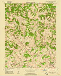 1957 Pleasant Green Hill1958 Print · USGSChristian County's rural landscape is captured here in the mid-fifties, showing a network of small farming settlements and crossroads churches. Researchers can locate family heritage sites like Mt Zion Cem & Ch, Palestine, and the Drive-in Theater near the Jeff Davis Highway.3 unique versions available
 - 1959 Map of Nashville
 1959 Nashville1959 Print · USGSMiddle Tennessee and Southern Kentucky come into focus during the late fifties, showing the region's transition into a modern transportation and military hub. Researchers can trace the sprawling Fort Campbell Military Reservation or locate historic rail stops along the Tennessee Central Ry and Illinois Central RR.
 - 1980 Map of Hopkinsville, 1983 Print
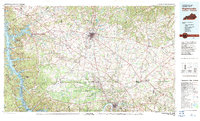 1980 Hopkinsville1983 Print · USGSThe Kentucky and Tennessee borderlands appear here at the start of the 1980s, centered on the massive Fort Campbell Military Reservation. Trace the impact of the Cumberland River impoundment at Lake Barkley or locate rail hubs like Guthrie and Elkton.
 - 2010 Map of Pleasant Green Hill, 2010 Print
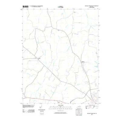 2010 Pleasant Green Hill2010 Print · USGSChristian County's rural landscape is captured here in the early twenty-first century, showing a network of family-named roads and winding waterways. Genealogists can locate legacy sites like Hamby Cemetery and Wood Cemetery near the banks of Sinking Fork.
 - 2013 Map of Pleasant Green Hill, 2013 Print
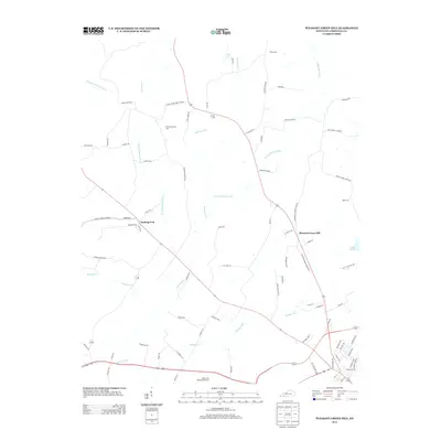 2013 Pleasant Green Hill2013 Print · USGSChristian County's rolling farmland and creek valleys are captured here in the early twenty-first century. Genealogists and local historians can locate numerous family burial sites like Harmony Grave Cem and Boyd Cem along the winding Sinking Fork.
 - 2016 Map of Pleasant Green Hill, 2016 Print
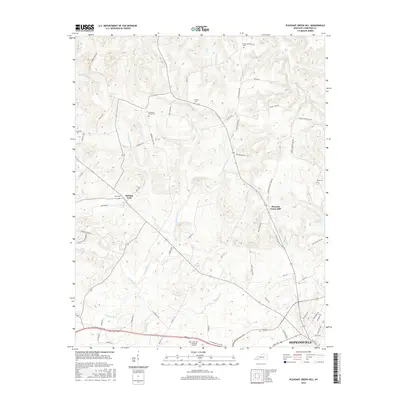 2016 Pleasant Green Hill2016 Print · USGSChristian County at the midpoint of the twenty-first century's second decade shows the intersection of rural heritage and suburban growth. Genealogists can locate family burial grounds like Hamby Cem and Wood Cem while tracing the winding banks of the Sinking Fork.
 - 2019 Map of Pleasant Green Hill, 2019 Print
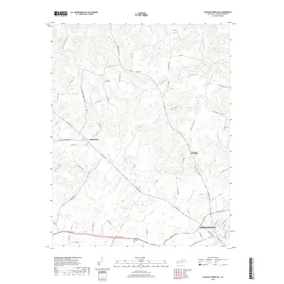 2019 Pleasant Green Hill2019 Print · USGSChristian County's transition from the city of Hopkinsville to rural farmland is captured in this recent survey. Local historians can trace family ties through Harmony Grove Cem, Hamby Cem, and the old settlement at Pleasant Green Hill.
 - 2022 Map of Pleasant Green Hill, 2022 Print
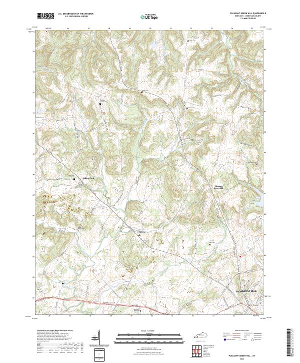 2022 Pleasant Green Hill2022 Print · USGSThe rural uplands and creek valleys of Christian County are captured here in the early twenty-first century, just as the urban reach of Hopkinsville extends northward. Genealogists can locate several family burial sites including the Langhi Family Cem, Moore Cem, and Dick Boyd Cem.
End of results
Showing maps 1-10 of 10
Top cities near Pleasant Green Hill
- Hopkinsville historical maps
- Cadiz historical maps
- Dawson Springs historical maps
- Crofton historical maps
- Pembroke historical maps
Frequently asked questions
- What are the different types of historical maps available for Pleasant Green Hill?
- What is the oldest map of Pleasant Green Hill?
- Where can I purchase historical maps of Pleasant Green Hill for my home or office?
- Where can I download high-res historical maps of Pleasant Green Hill?
- Are there historical topographic maps available for Pleasant Green Hill?
- Is there historical aerial imagery available for Pleasant Green Hill?
- Where are historical maps of Pleasant Green Hill sourced from?