Old Maps of Decide, Kentucky for Metal Detecting
Plan your next treasure hunt with 10 historic maps of Decide. Find old homesites, ghost towns, trails, and gathering spots that may be lost to time — perfect for identifying promising metal detecting locations.
- Locate forgotten sites: Uncover places like long-lost settlements, abandoned rail lines, or gathering spots.
- Plan better hunts: Use map overlays combined with LiDAR or satellite views to narrow in on historically rich areas.
- Made for detectorists: Thousands of hobbyists use these maps to discover relics, coins, and hidden history.
Use these historic maps to boost your research and find new opportunities beneath the surface of Decide.
Decide, KY maps
(10)- 1953 Map of Wolf Creek Dam, 1955 Print
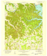 1953 Wolf Creek Dam1955 Print · USGSThe creation of Lake Cumberland in the early fifties fundamentally altered this portion of Clinton and Russell Counties. Researchers can trace submerged shorelines and landforms like Winfreys Rocks or locate vanished landmarks like Seventy Six Falls and Willow Grove Sch.2 unique versions available
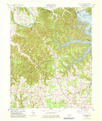
 - 1956 Map of Corbin, 1966 Print
 1956 Corbin1966 Print · USGSThe Kentucky and Tennessee borderlands are captured here in the mid-fifties, showing the region's shift toward modern interstate travel and reservoir development. Genealogists and historians can trace old community lines near Albany and Monticello or locate early rail junctions along the Southern and Tennessee Central lines.3 unique versions available
 - 1958 Map of Corbin
 1958 Corbin1958 Print · USGSThe Upper Cumberland borderlands appear in the late 1950s as massive reservoirs and early atomic-era growth reshape the region. Trace family roots and vanished landmarks near Lake Cumberland, Oak Ridge, and the Cumberland National Forest.
 - 1978 Map of Wolf Creek Dam
 1978 Wolf Creek Dam1978 Print · USGSThe Lake Cumberland shoreline and the Cumberland River valley are captured in the late seventies as the region balanced local industry and recreation. Trace family roots and old landmarks from Winfreys Ferry to the community of Seventy Six and the Seventy Six Falls.3 unique versions available
 - 1985 Map of Tompkinsville, 1986 Print
 1985 Tompkinsville1986 Print · USGSThe Kentucky-Tennessee borderlands come into focus in the mid-1980s, showcasing a landscape of river-fed valleys and rural crossroads. Genealogists and local historians can trace family locations from Glasgow and Edmonton to the distinctively named Eighty Eight, Bugtussle, and Akersville.2 unique versions available
 - 2010 Map of Wolf Creek Dam, 2010 Print
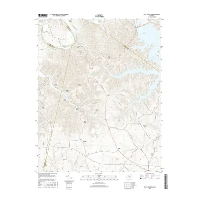
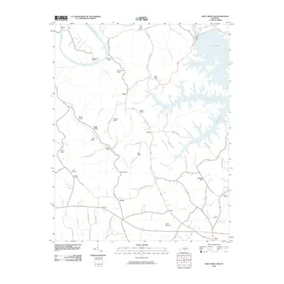 2010 Wolf Creek Dam2010 Print · USGSCovers Decide, including Desda, Snow, and other nearby areas
 - 2013 Map of Wolf Creek Dam, 2013 Print
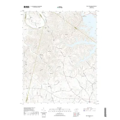
 2013 Wolf Creek Dam2013 Print · USGSCovers Decide, including Desda, Snow, and other nearby areas
 - 2016 Map of Wolf Creek Dam, 2016 Print
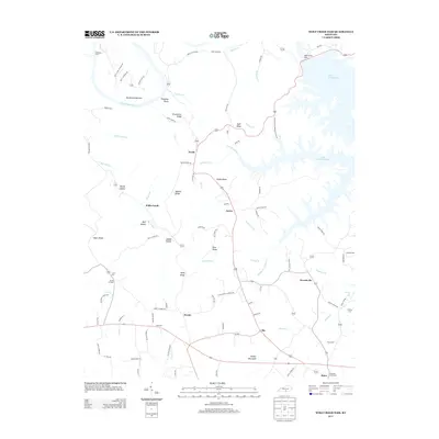
 2016 Wolf Creek Dam2016 Print · USGSCovers Decide, including Desda, Snow, and other nearby areas
 - 2019 Map of Wolf Creek Dam, 2019 Print
 2019 Wolf Creek Dam2019 Print · USGSCovers Decide, including Desda, Snow, and other nearby areas
 - 2022 Map of Wolf Creek Dam, 2022 Print
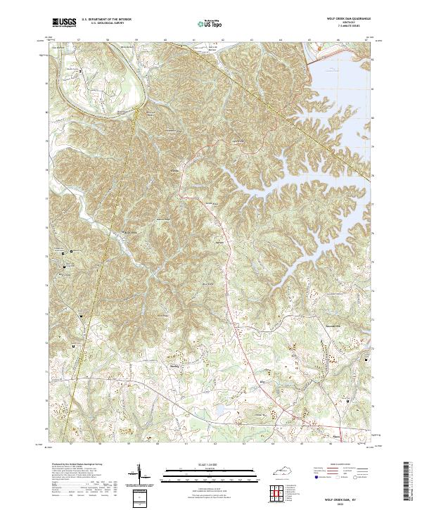 2022 Wolf Creek Dam2022 Print · USGSClinton and Russell counties appear here in the early 2020s, showing the intersection of ridge-top living and the deep Cumberland River valley. Researchers can locate family landmarks like the Reeder-Family Cem and the distinctive Seventy Six Falls near the old settlement of Seventy-Six.
End of results
Showing maps 1-10 of 10
Top cities near Decide
Frequently asked questions
- What are the different types of historical maps available for Decide?
- What is the oldest map of Decide?
- Where can I purchase historical maps of Decide for my home or office?
- Where can I download high-res historical maps of Decide?
- Are there historical topographic maps available for Decide?
- Is there historical aerial imagery available for Decide?
- Where are historical maps of Decide sourced from?