Old Maps of Willis Creek, Kentucky for Academic Research
Study the evolution of Willis Creek with 10 high-resolution historic maps. Whether you're teaching, researching, or modeling changes in land use, these maps provide essential visual documentation of urban, environmental, and geographic change.
- Analyze long-term change: Track patterns in development, transportation, and natural features.
- Ideal for environmental or urban studies: Support academic projects with primary historical map data.
- Use in the classroom or lab: Educators and researchers rely on these maps to bring historical context to life.
These maps are a powerful tool for teaching, research, and visualizing how Willis Creek has changed over the decades.
Willis Creek, KY maps
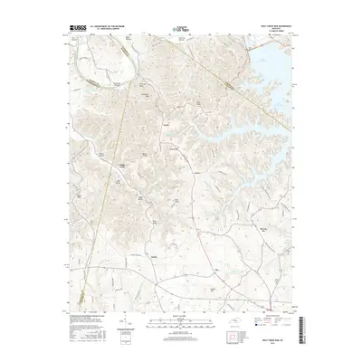
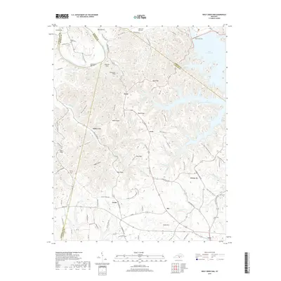
(10)- 1953 Map of Wolf Creek Dam, 1955 Print
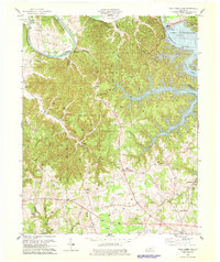
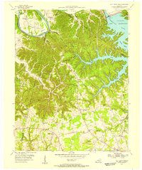 1953 Wolf Creek Dam1955 Print · USGSThe creation of Lake Cumberland in the early fifties fundamentally altered this portion of Clinton and Russell Counties. Researchers can trace submerged shorelines and landforms like Winfreys Rocks or locate vanished landmarks like Seventy Six Falls and Willow Grove Sch.2 unique versions available
 - 1956 Map of Corbin, 1966 Print
 1956 Corbin1966 Print · USGSThe Kentucky and Tennessee borderlands are captured here in the mid-fifties, showing the region's shift toward modern interstate travel and reservoir development. Genealogists and historians can trace old community lines near Albany and Monticello or locate early rail junctions along the Southern and Tennessee Central lines.3 unique versions available
 - 1958 Map of Corbin
 1958 Corbin1958 Print · USGSThe Upper Cumberland borderlands appear in the late 1950s as massive reservoirs and early atomic-era growth reshape the region. Trace family roots and vanished landmarks near Lake Cumberland, Oak Ridge, and the Cumberland National Forest.
 - 1978 Map of Wolf Creek Dam
 1978 Wolf Creek Dam1978 Print · USGSThe Lake Cumberland shoreline and the Cumberland River valley are captured in the late seventies as the region balanced local industry and recreation. Trace family roots and old landmarks from Winfreys Ferry to the community of Seventy Six and the Seventy Six Falls.3 unique versions available
 - 1985 Map of Tompkinsville, 1986 Print
 1985 Tompkinsville1986 Print · USGSThe Kentucky-Tennessee borderlands come into focus in the mid-1980s, showcasing a landscape of river-fed valleys and rural crossroads. Genealogists and local historians can trace family locations from Glasgow and Edmonton to the distinctively named Eighty Eight, Bugtussle, and Akersville.2 unique versions available
 - 2010 Map of Wolf Creek Dam, 2010 Print
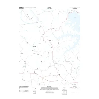
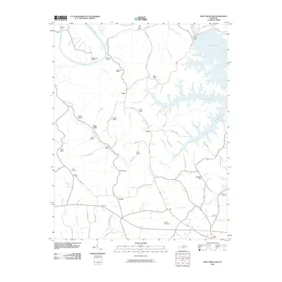 2010 Wolf Creek Dam2010 Print · USGSCovers Willis Creek, including Desda, Snow, and other nearby areas
 - 2013 Map of Wolf Creek Dam, 2013 Print
 2013 Wolf Creek Dam2013 Print · USGSCovers Willis Creek, including Desda, Snow, and other nearby areas
 - 2016 Map of Wolf Creek Dam, 2016 Print
 2016 Wolf Creek Dam2016 Print · USGSCovers Willis Creek, including Desda, Snow, and other nearby areas
 - 2019 Map of Wolf Creek Dam, 2019 Print
 2019 Wolf Creek Dam2019 Print · USGSCovers Willis Creek, including Desda, Snow, and other nearby areas
 - 2022 Map of Wolf Creek Dam, 2022 Print
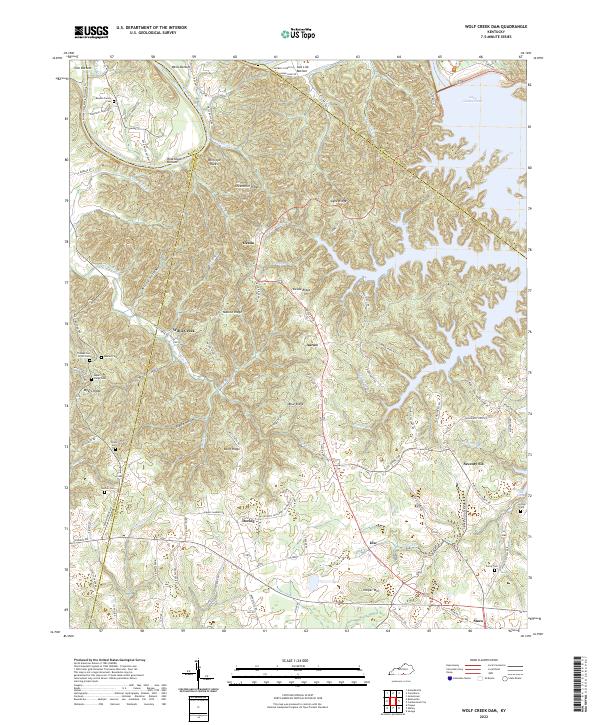 2022 Wolf Creek Dam2022 Print · USGSClinton and Russell counties appear here in the early 2020s, showing the intersection of ridge-top living and the deep Cumberland River valley. Researchers can locate family landmarks like the Reeder-Family Cem and the distinctive Seventy Six Falls near the old settlement of Seventy-Six.
End of results
Showing maps 1-10 of 10
Top cities near Willis Creek
- Russell Springs historical maps
- Albany historical maps
- Burkesville historical maps
- Jamestown historical maps
Frequently asked questions
- What are the different types of historical maps available for Willis Creek?
- What is the oldest map of Willis Creek?
- Where can I purchase historical maps of Willis Creek for my home or office?
- Where can I download high-res historical maps of Willis Creek?
- Are there historical topographic maps available for Willis Creek?
- Is there historical aerial imagery available for Willis Creek?
- Where are historical maps of Willis Creek sourced from?