Old Maps of Nepton, Kentucky for Academic Research
Study the evolution of Nepton with 9 high-resolution historic maps. Whether you're teaching, researching, or modeling changes in land use, these maps provide essential visual documentation of urban, environmental, and geographic change.
- Analyze long-term change: Track patterns in development, transportation, and natural features.
- Ideal for environmental or urban studies: Support academic projects with primary historical map data.
- Use in the classroom or lab: Educators and researchers rely on these maps to bring historical context to life.
These maps are a powerful tool for teaching, research, and visualizing how Nepton has changed over the decades.
Nepton, KY maps
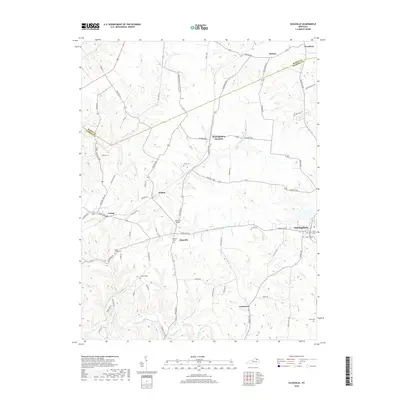
(9)- 1952 Map of Elizaville, 1953 Print
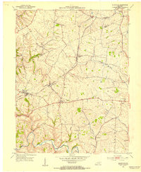 1952 Elizaville1953 Print · USGSFleming and Mason counties appear here in the early fifties, showing the rural Kentucky landscape before the era of modern highway expansion. Genealogists and local historians can trace family ties at Clover Hill Ch or locate old rail stops like Flemingsburg Junction and Nepton.3 unique versions available
 - 1957 Map of Huntington, 1966 Print
 1957 Huntington1966 Print · USGSThe industrial heart of the Ohio River valley is captured here in the mid-sixties, showing the growth of Huntington and Ashland. Researchers can trace the extensive rail networks of the Chesapeake and Ohio RR and locate sites like the Chief Cornstalk Hunting Ground.3 unique versions available
 - 1960 Map of Huntington
 1960 Huntington1960 Print · USGSThe tri-state river valley thrived in the late fifties as a hub of heavy industry and Appalachian rail transit. Genealogists and historians can trace the connection between river towns like Ashland and Portsmouth or locate family homesteads near Coleman Ridge.
 - 1982 Map of Morehead, 1983 Print
 1982 Morehead1983 Print · USGSThe foothills of northeastern Kentucky come alive in the early eighties, showcasing a landscape defined by timber, limestone caves, and major reservoirs. Local researchers can trace the development of Morehead State University or locate old crossings at Plummers Mill and Salt Lick.
 - 2010 Map of Elizaville, 2010 Print
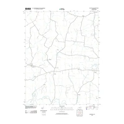 2010 Elizaville2010 Print · USGSCovers Nepton, including Ewing, Helena, and other nearby areas
 - 2013 Map of Elizaville, 2013 Print
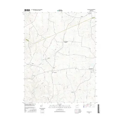
 2013 Elizaville2013 Print · USGSCovers Nepton, including Ewing, Helena, and other nearby areas
 - 2016 Map of Elizaville, 2016 Print
 2016 Elizaville2016 Print · USGSCovers Nepton, including Ewing, Helena, and other nearby areas
 - 2019 Map of Elizaville, 2019 Print
 2019 Elizaville2019 Print · USGSCovers Nepton, including Ewing, Helena, and other nearby areas
 - 2022 Map of Elizaville, 2022 Print
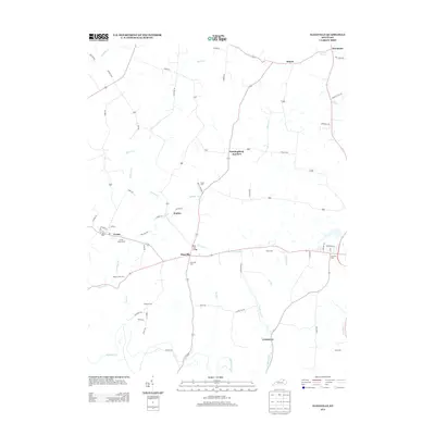
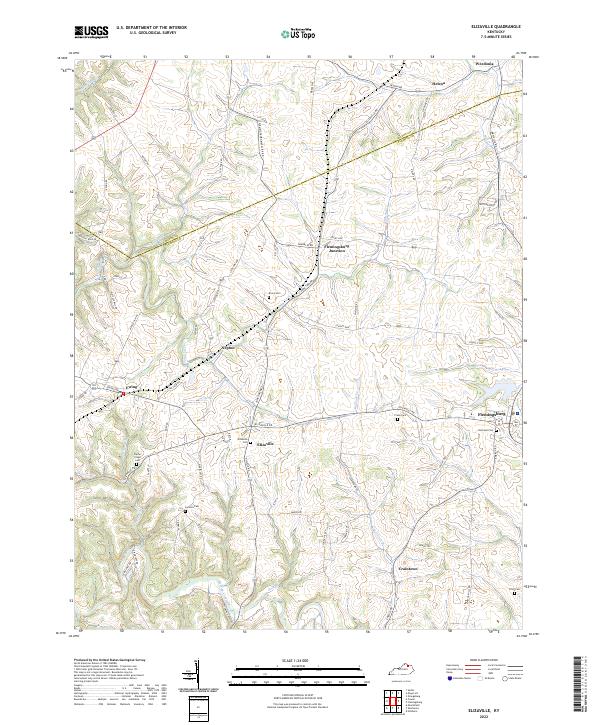 2022 Elizaville2022 Print · USGSFleming and Mason Counties at the start of the 2020s remain a landscape of small hamlets and family farmsteads. Researchers can trace ancestral sites at Elizaville Cem and Poplar Creek Cem or explore the rural layout of Nepton and Craintown.
End of results
Showing maps 1-9 of 9
Top cities near Nepton
- Maysville historical maps
- Flemingsburg historical maps
- Carlisle historical maps
- Aberdeen historical maps
- Mount Olivet historical maps
- Ewing historical maps
See more
Frequently asked questions
- What are the different types of historical maps available for Nepton?
- What is the oldest map of Nepton?
- Where can I purchase historical maps of Nepton for my home or office?
- Where can I download high-res historical maps of Nepton?
- Are there historical topographic maps available for Nepton?
- Is there historical aerial imagery available for Nepton?
- Where are historical maps of Nepton sourced from?